Pueblito Way
Total Miles
8.0
Technical Rating
Best Time
Spring, Summer, Fall
Trail Type
Full-Width Road
Accessible By
Trail Overview
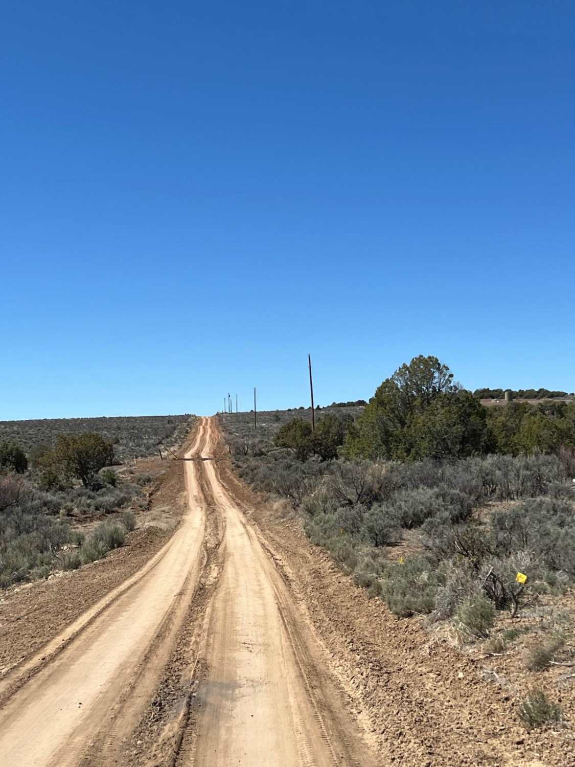
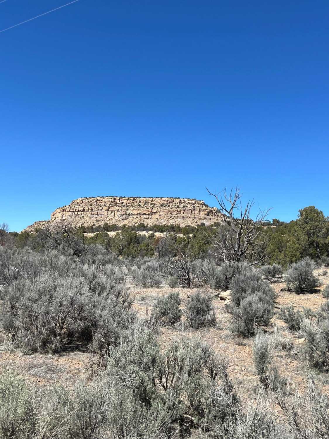
This route connects the Hill Road Pueblito trail with the Citadel and Shaft House Pueblitos route. It travels through oil and gas fields with machinery and service vehicles. You may see a work truck or two, so make sure to keep to the right on the roads, regardless of rutting. Some areas have deeper ruts than other parts. The sand covering the roads leads to poor handling at higher speeds and disguises road obstacles, requiring lower speeds. There are some stunning views of the canyons that cut into the mesa, and accessing two northern spurs will lead to two pueblitos. Many other trails branch off, so follow the route carefully. The terrain shifts from rocky to clay to deep sand. Wet weather can change the difficulty dramatically.
Photos of Pueblito Way
Difficulty
The road is rocky with ruts and deep sand in spots. In the section just before dropping down to Hill Road Pueblito, the road narrows considerably and becomes rough with ledges and fairly steep grades.
History
This whole area is full of archeological sites; however, the Crow Canyon Petroglyphs are very close and one of the most extensive and well-known collections of the 16th, 17th and 18th century Navajo petroglyphs (carved rock art) in the American Southwest: https://www.blm.gov/visit/crow-canyon-petroglyphs. 2.7 miles before the end of the Gould Pass Pueblito Trail, look for the Citadel Pueblito spur that leads to Shaft House Pueblito spur, the Ridge House and Boulder Fortress Pueblitos spur, and the Crow Canyon Overlook Spurs. To visit the Citadel Pueblito, a NM State Lands permit is required. The online form can be found here: https://openforadventure.nmstatelands.org/. Gould Pass Pueblito is at 36.58085, -107.56935: http://www.aztecnm.com/archaeology/dinetah/gouldpass.html. Gomez Point Pueblito is at 36.60319, -107.53300: http://www.aztecnm.com/archaeology/dinetah/gomezpoint.html. Gomez Canyon Pueblito is at 36.58314, -107.53518: http://www.aztecnm.com/archaeology/dinetah/gomezcanyon.html. Hill Road Pueblito is at 36.59026, -107.50330: http://www.aztecnm.com/archaeology/dinetah/hillroad.html.
Status Reports
Popular Trails
Council Rock

Mudhole Mania - FR 69C
Valle Grande Edge
Ladron Wilderness Access
The onX Offroad Difference
onX Offroad combines trail photos, descriptions, difficulty ratings, width restrictions, seasonality, and more in a user-friendly interface. Available on all devices, with offline access and full compatibility with CarPlay and Android Auto. Discover what you’re missing today!
