Saddle Rock Canyon Rd
Total Miles
18.0
Technical Rating
Best Time
Spring, Summer, Fall, Winter
Trail Type
Full-Width Road
Accessible By
Trail Overview
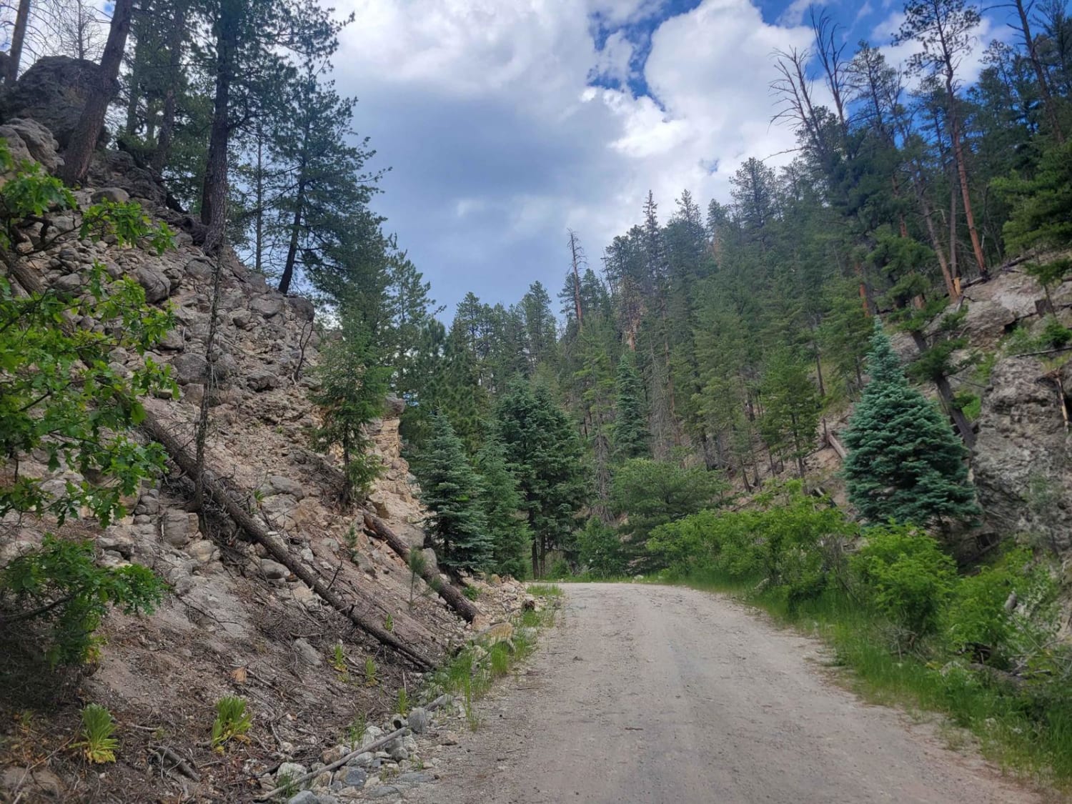
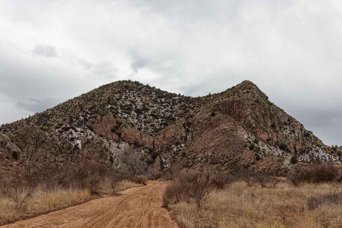
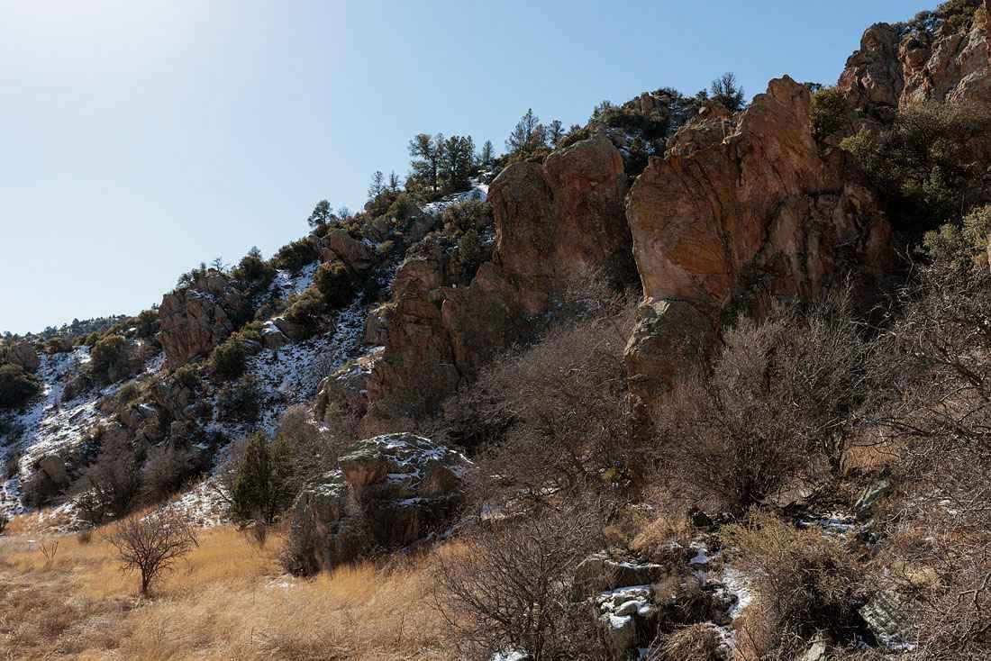
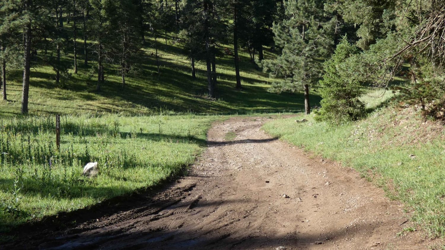
Saddlerock Canyon Road traverses the northern section of the Big Burro Mountains. Starting from the north the trail begins in a sandy wash. There are numerous interesting rock formations as well as some huge cottonwood trees. The Big Burro Mountains are known for copper mining and several other rocks and minerals are also in the area including turquoise and fluorspar. There are several short offshoot trails from the main road. These lead to old mines or corrals and water sources for cattle. Mostly the trail is easy and the difficulty increases gradually from north to south. This makes a good beginner trail as one can easily turn around if uncomfortable. The difficulty ramps up much more quickly going south to north. Heavy monsoon rains can make the trail impassable as a large portion is in the bottom of a wash.
Photos of Saddle Rock Canyon Rd
Difficulty
The difficulty rating is primarily for one obstacle halfway through the trail. This is an off-camber rock with a large hole. A spotter and careful wheel placement are advised.
Status Reports
Saddle Rock Canyon Rd can be accessed by the following ride types:
- High-Clearance 4x4
- SUV
- SxS (60")
- ATV (50")
- Dirt Bike
Saddle Rock Canyon Rd Map
Popular Trails

Kiowa Mountain

Sulphur Springs Road

FR 93 Red Mud Rumble
The onX Offroad Difference
onX Offroad combines trail photos, descriptions, difficulty ratings, width restrictions, seasonality, and more in a user-friendly interface. Available on all devices, with offline access and full compatibility with CarPlay and Android Auto. Discover what you’re missing today!


