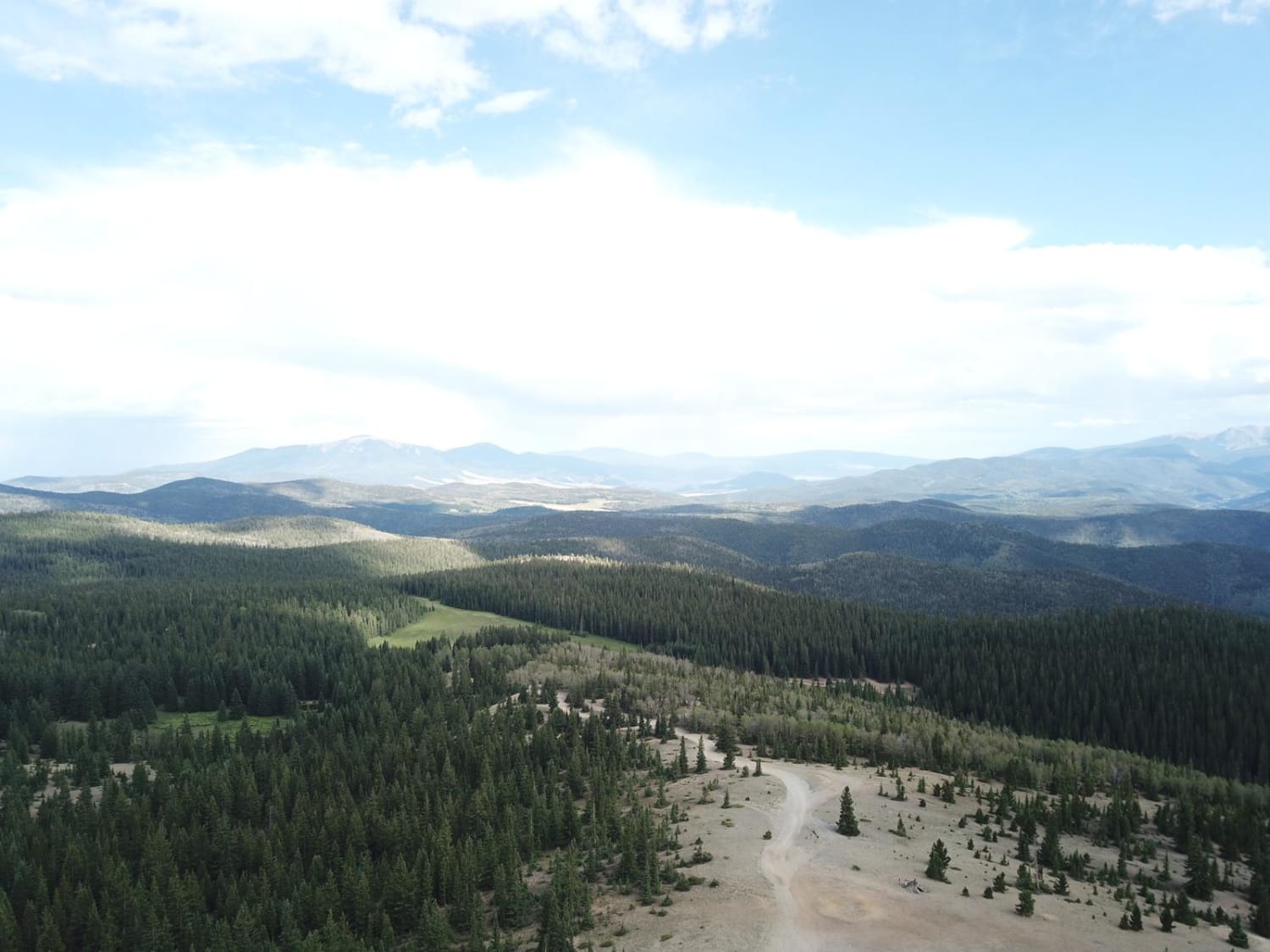
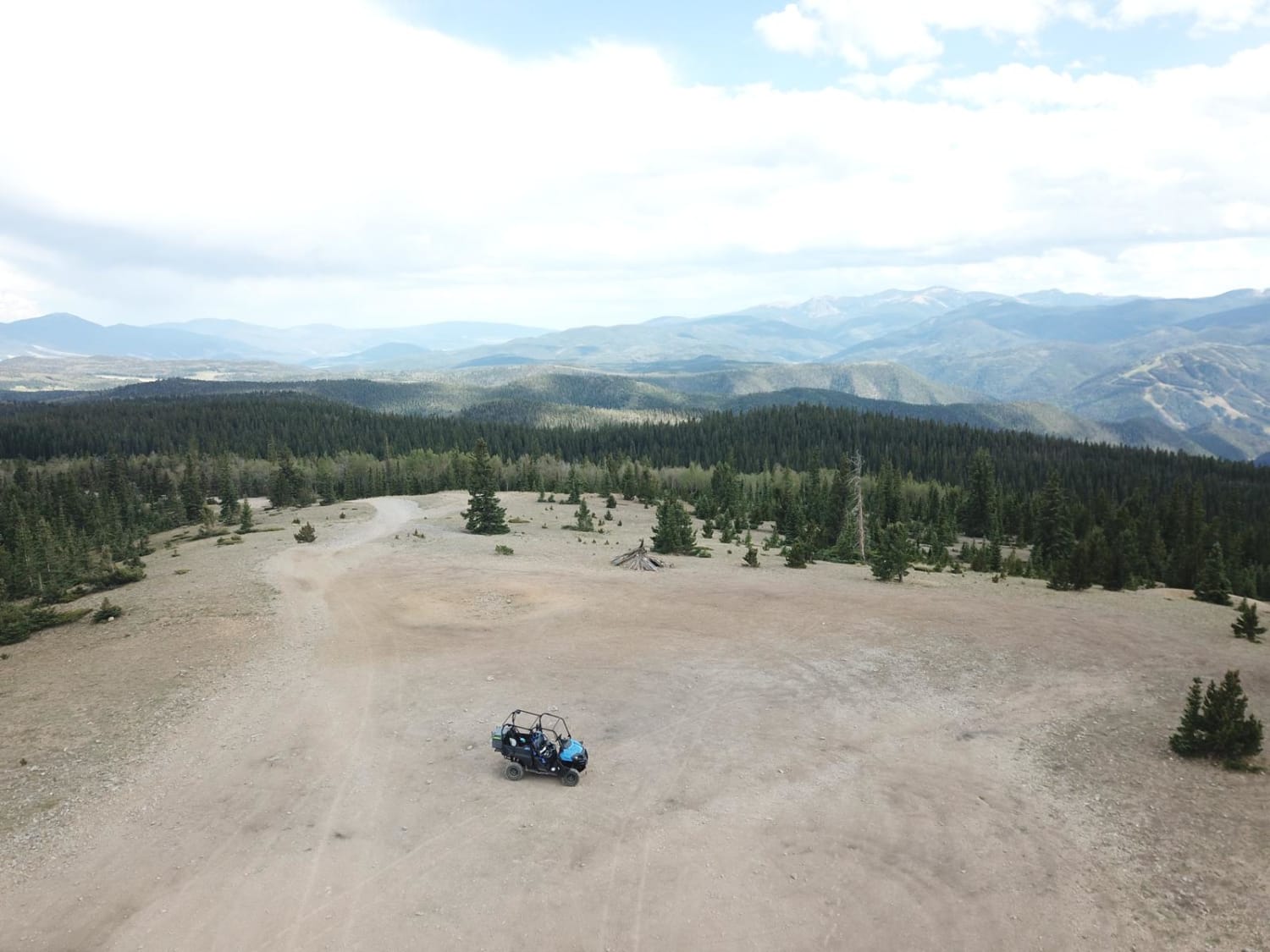
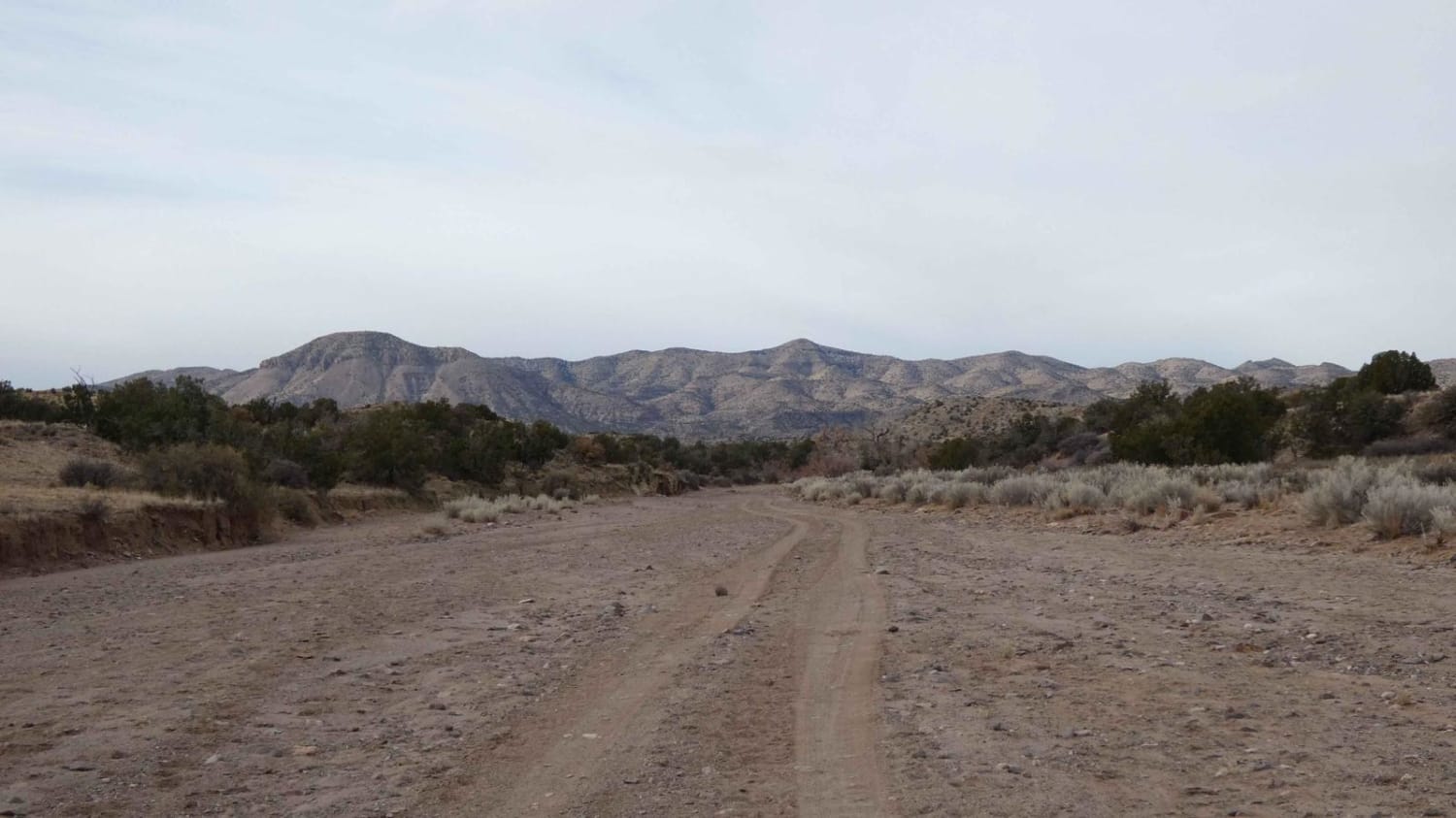
Sawmill Greenie
Total Miles
9.2
Elevation
3,425.16 ft
Duration
0.8 Hours
Technical Rating
Best Time
Spring, Summer, Fall
Trail Overview
This is a roundabout way of getting from Red River, NM to Greenie Peak. It departs town as a wide, two-lane gravel road, and passes several dispersed camping areas before starting to climb. There are other routes to Greenie Peak that are more direct that split off from this route. About halfway up, there are two steep sections that have been badly washed and rutted out, making it unsuitable for regular SUVs. These are the only steep or washed out sections. Cell service is fair to good to the top, and the view from Greenie Peak is Eagle Nest Lake to the south, Valle Vidal to the east, Wheeler Peak to the southwest and Taos to the west. Red River is OHV friendly on all roads in town except the state highway that runs through town, but you can get anywhere on the side roads.
Photos of Sawmill Greenie
Difficulty
There are several steep, rutted-out areas.
Status Reports
Popular Trails
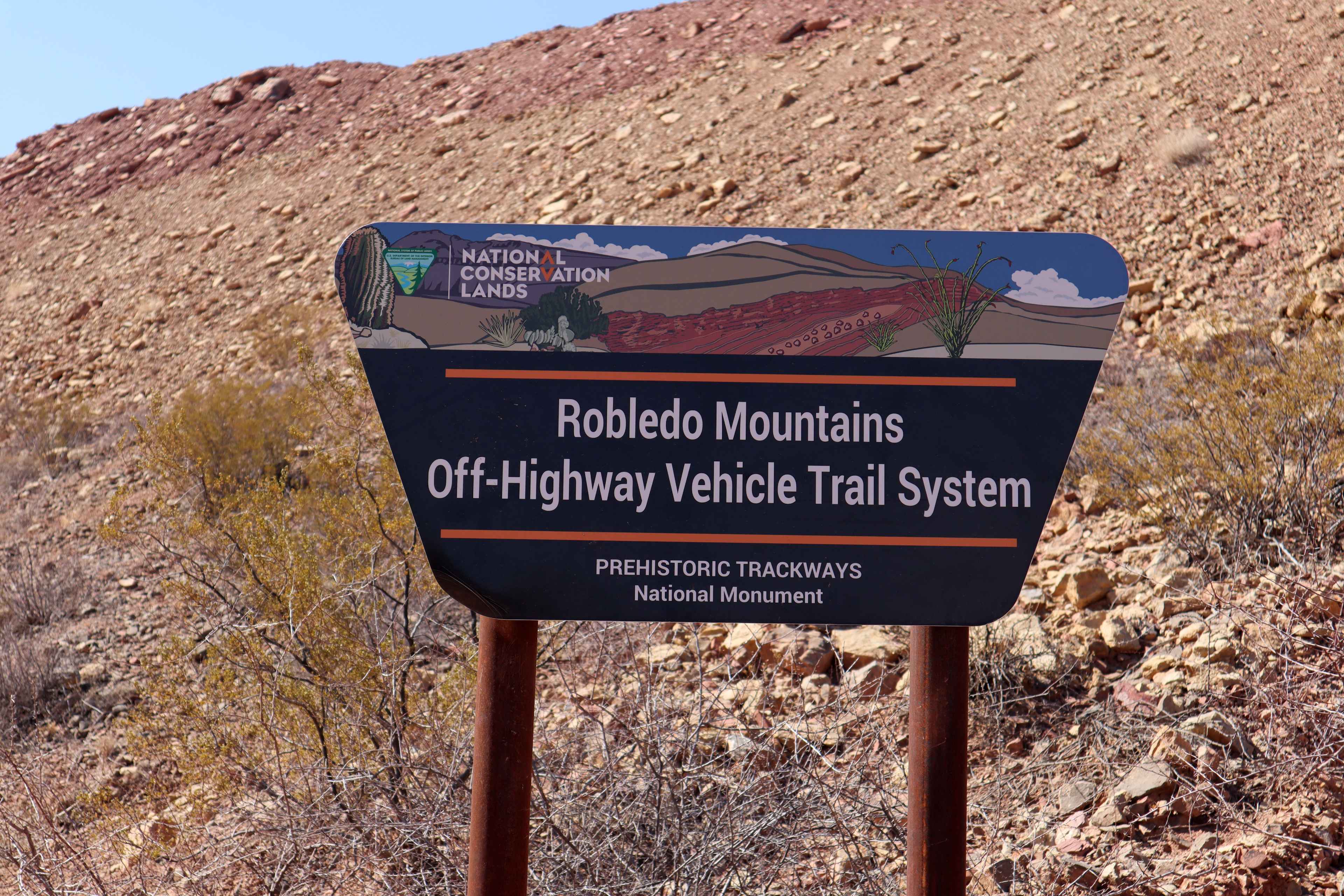
Robledo Chili Canyons Loop
North Pipeline Road

Hang Glider Road
The onX Offroad Difference
onX Offroad combines trail photos, descriptions, difficulty ratings, width restrictions, seasonality, and more in a user-friendly interface. Available on all devices, with offline access and full compatibility with CarPlay and Android Auto. Discover what you’re missing today!
