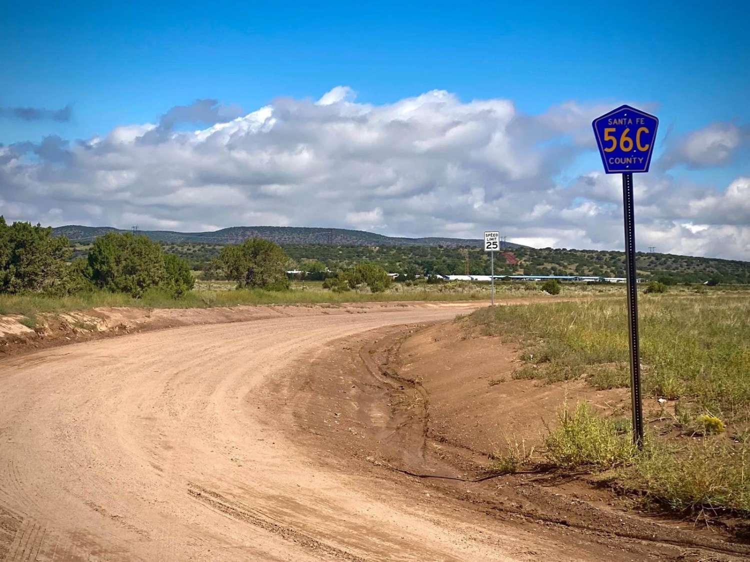
Shortcut to Caja del Rio - Santa Fe County Road 56C
Total Miles
4.9
Technical Rating
Best Time
Spring, Summer, Fall, Winter
Trail Type
Full-Width Road
Accessible By
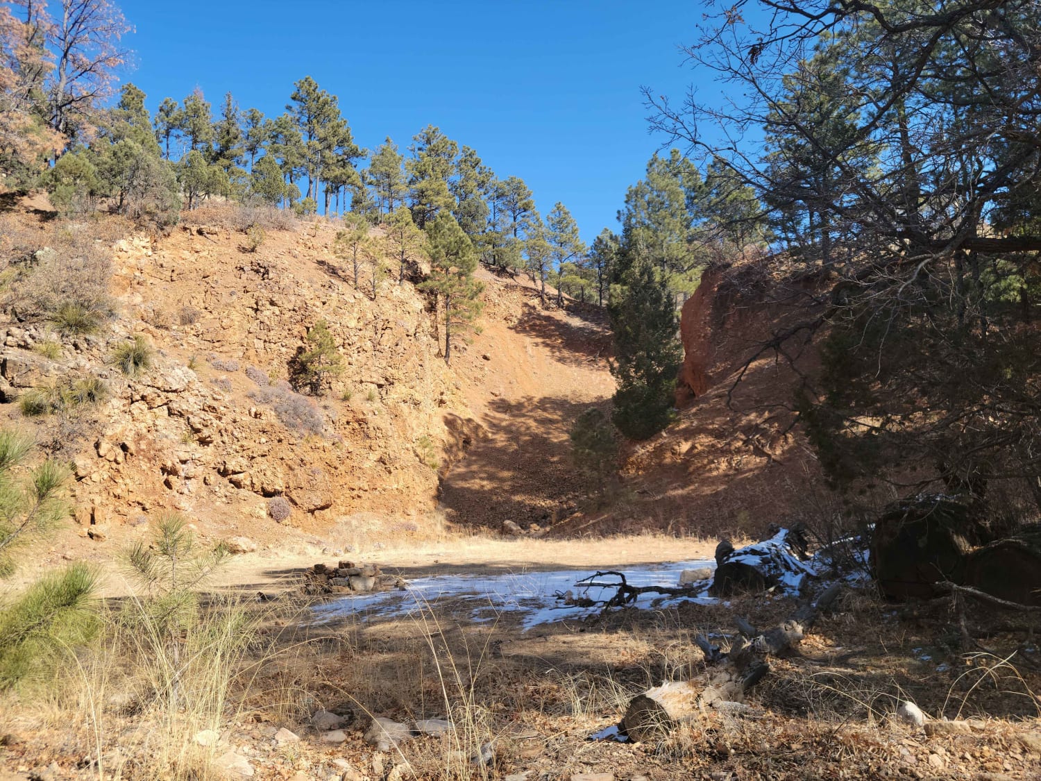
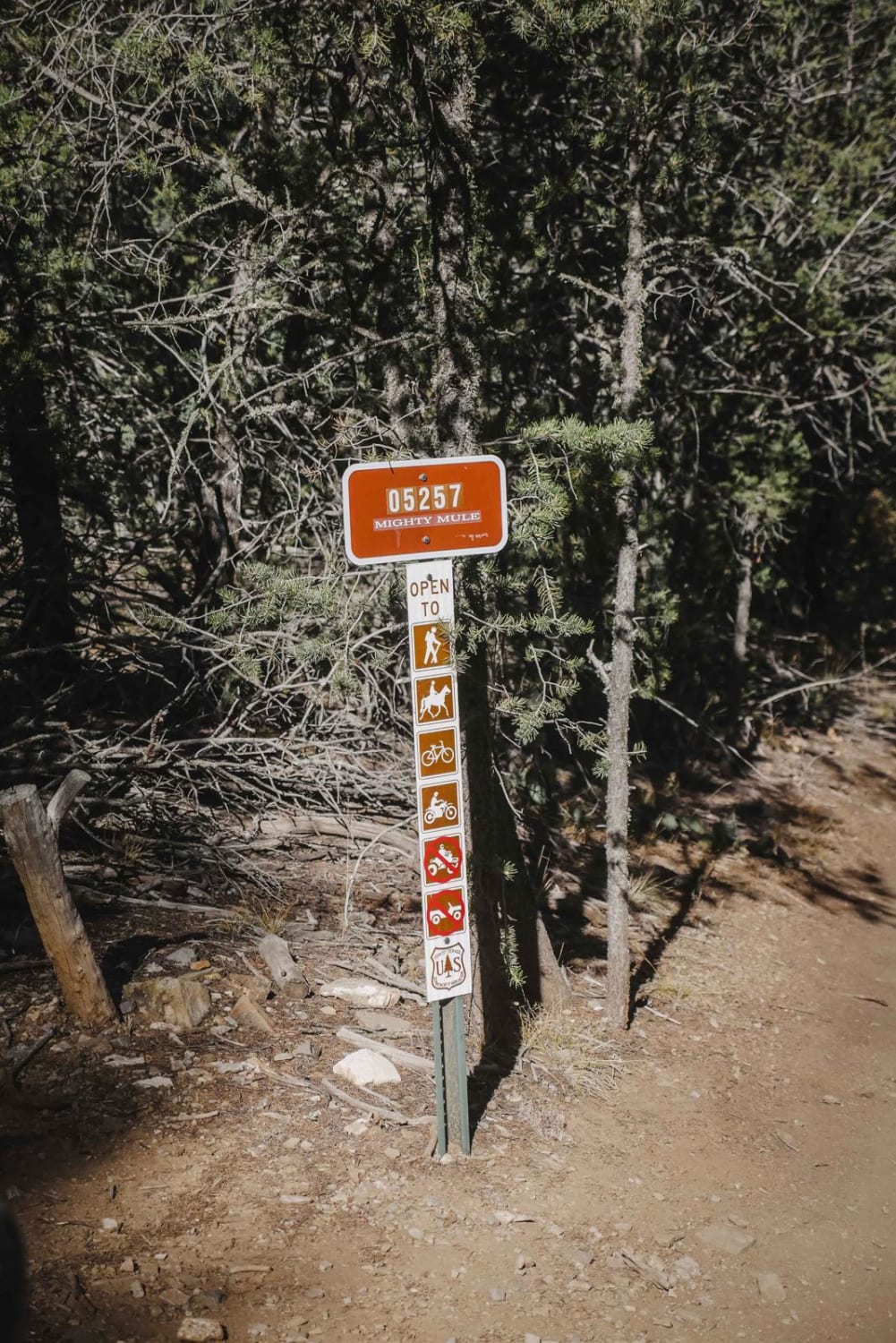
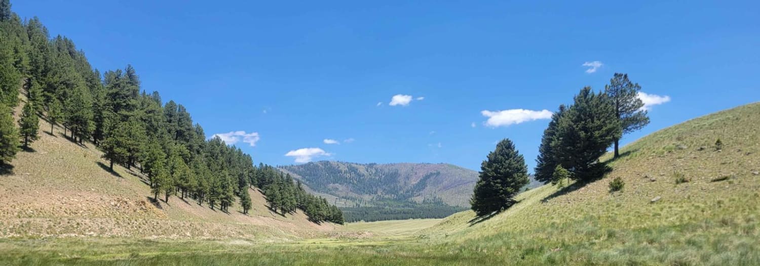
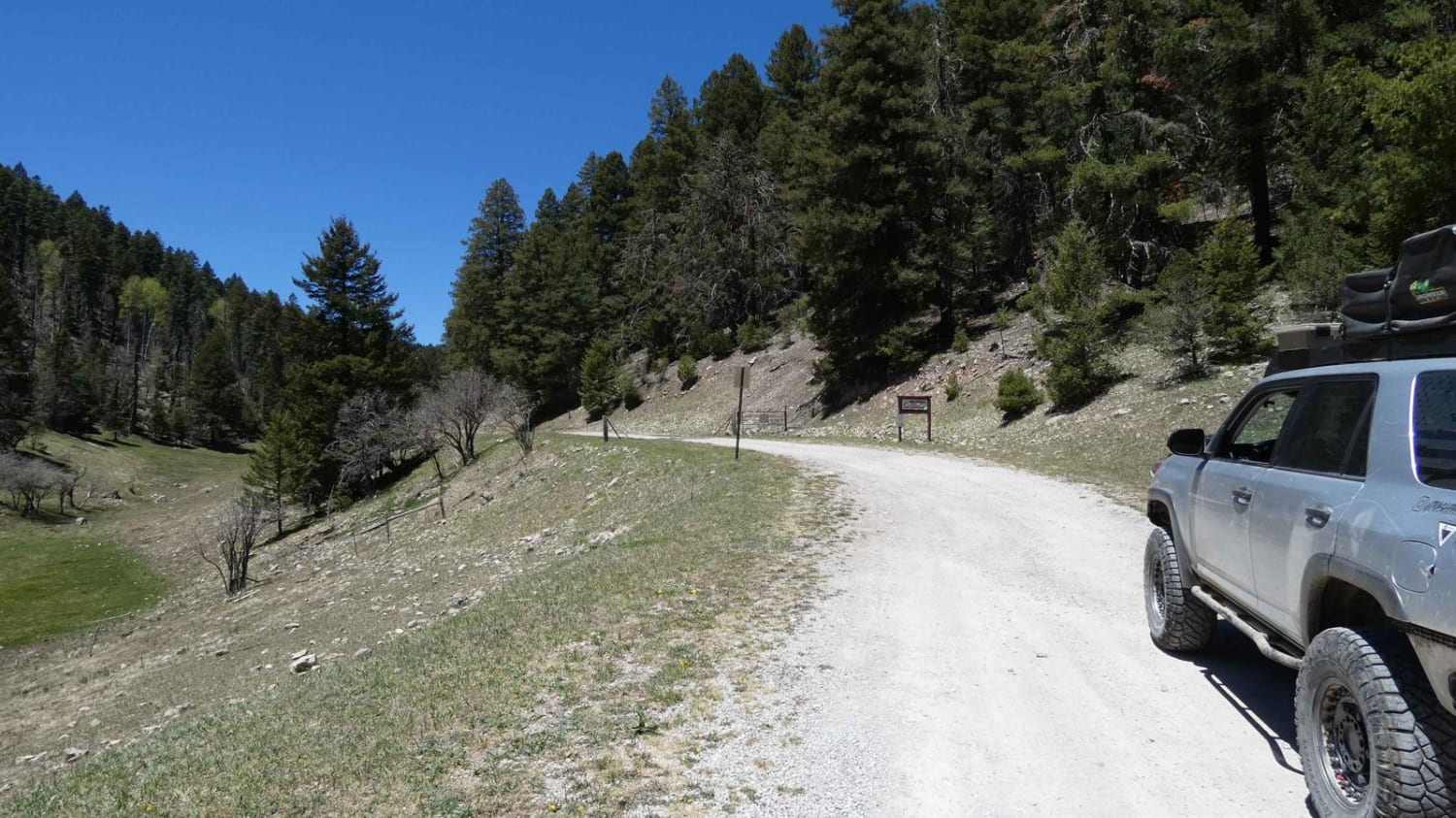
Trail Overview
This Santa Fe county road 56C will take you 4.7 miles connecting to the Caja del Rio to La Bajada Mesa-USFS 24 trail. It goes through the Santa Fe Ranch Cienega Recreation area which is managed by the BLM. When you get to the USFS 24 trail, turn left and take the drive to the Caja del Rio Plateau & La Bajada Mesa. It ends with a large escarpment dropping 1000 feet to the valley below with the Pueblo de Cochiti and Pueblo of Santa Domingo reservations. The views for miles from here on a clear day are tremendous, with some cellular service. There is a launch site for hang gliders. The Caja del Rio (Box of the River), or Caja as it is called, is a dissected plateau of volcanic origin covering 84,000 acres west of Santa Fe, New Mexico. These are considered sacred lands to this day for the area's pueblo Indians. The landscape is a rolling terrain of pinon-juniper savannah with grasslands made up of sage, wildflowers, and mixed grasses. The road is very dry and dusty; however, it can become wet and muddy during the rainy season, prompting closure. About a mile into the drive, you will come to an intersection with a well-traveled road to the right. You want to continue straight ahead. The turn to the right goes to the shooting range area. At about 4.7 miles, you will come to the gate and cattle guard where 56C ends, connecting to USFS 24. Be sure to leave the gate as found.
Photos of Shortcut to Caja del Rio - Santa Fe County Road 56C

Difficulty
This is a graded dirt road. Maintenance may be infrequent at times. It is very dry and dusty; however, it can become wet and muddy during the rainy seasons, prompting closure. May encounter tire ruts where others have driven when muddy. We recommend this trail in dry weather.
Status Reports

Popular Trails
Red Cloud Trail
Valle Toledo Road
Atkinson Canyon
The onX Offroad Difference
onX Offroad combines trail photos, descriptions, difficulty ratings, width restrictions, seasonality, and more in a user-friendly interface. Available on all devices, with offline access and full compatibility with CarPlay and Android Auto. Discover what you’re missing today!