Upper Diablo Canyon Rd
Total Miles
0.9
Technical Rating
Best Time
Spring, Summer, Fall, Winter
Trail Type
Full-Width Road
Accessible By
Trail Overview
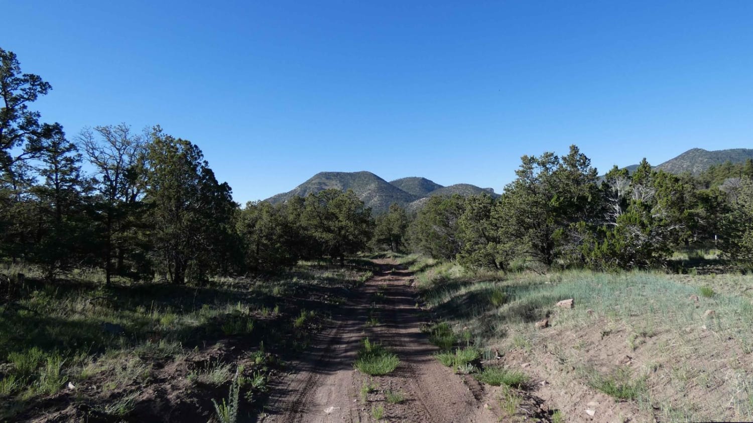
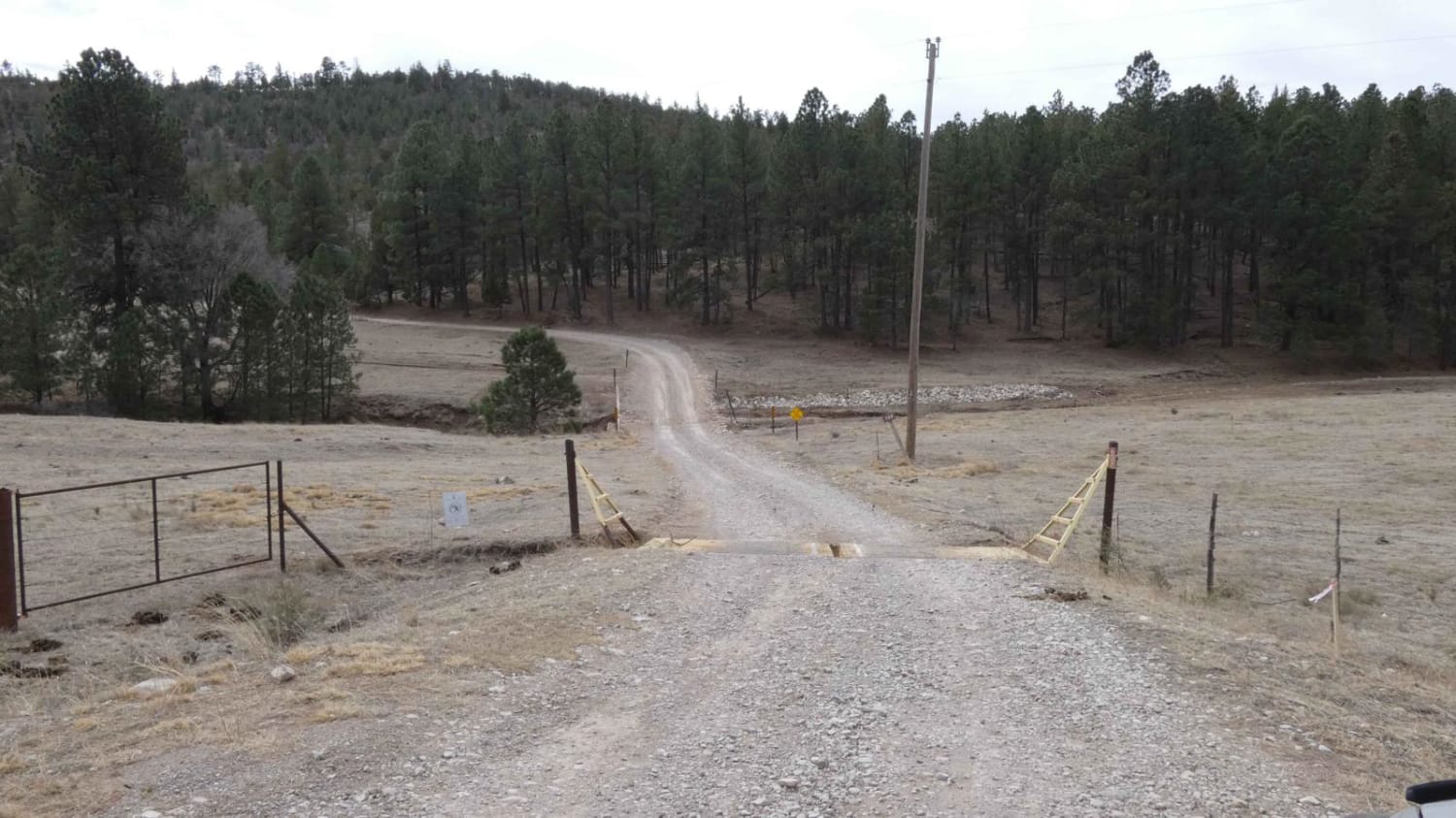
This short road is somewhat deceiving as it appears to take you to a water pump station and nothing more. At the very end of the road is a single spot for dry primitive camping below a cliff and is close to the Northern end of Diablo Canyon. Be aware that this road has some deep dips and an arroyo crossing which can be difficult at times, especially during increment weather. There is a set of steps over the fence to walk down to the Diablo Canyon trail and the Canada Ancha. Makes for a very secluded and private spot to camp. There is no cellular service in this area.
Photos of Upper Diablo Canyon Rd
Difficulty
This road has a lot of dips and some side erosion. Not a difficult drive with high clearance, definitely out for lower clearance vehicles.
Status Reports
Upper Diablo Canyon Rd can be accessed by the following ride types:
- High-Clearance 4x4
- SUV
- SxS (60")
- ATV (50")
- Dirt Bike
Upper Diablo Canyon Rd Map
Popular Trails

Crosby Canyon FS66

Silver Monument

Bluewater Canyon

House Mountain Road
The onX Offroad Difference
onX Offroad combines trail photos, descriptions, difficulty ratings, width restrictions, seasonality, and more in a user-friendly interface. Available on all devices, with offline access and full compatibility with CarPlay and Android Auto. Discover what you’re missing today!

