West Red Canyon
Total Miles
6.4
Elevation
2,085.85 ft
Duration
0.75 Hours
Technical Rating
Best Time
Spring, Summer, Fall, Winter
Trail Overview
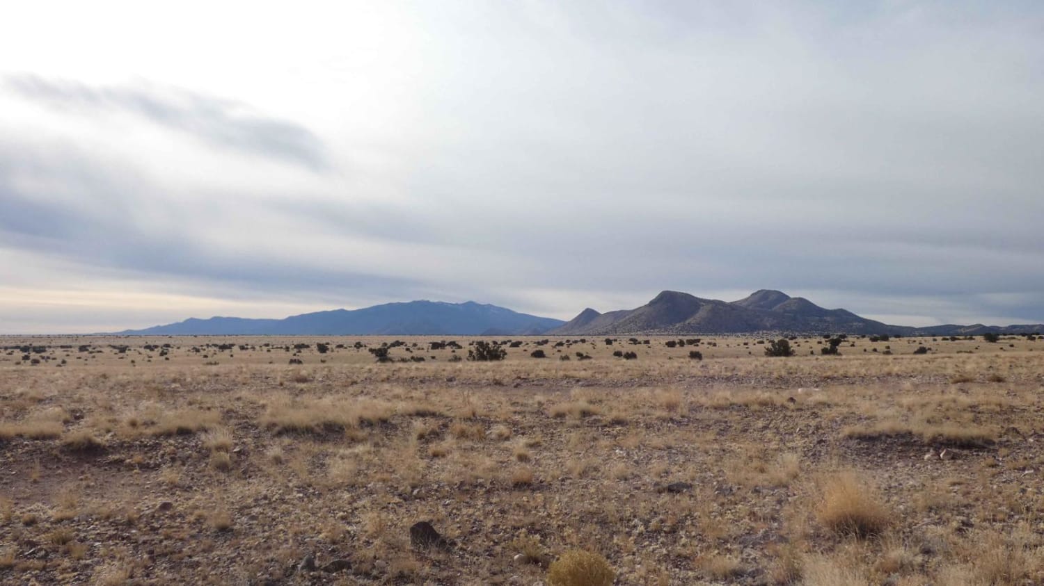
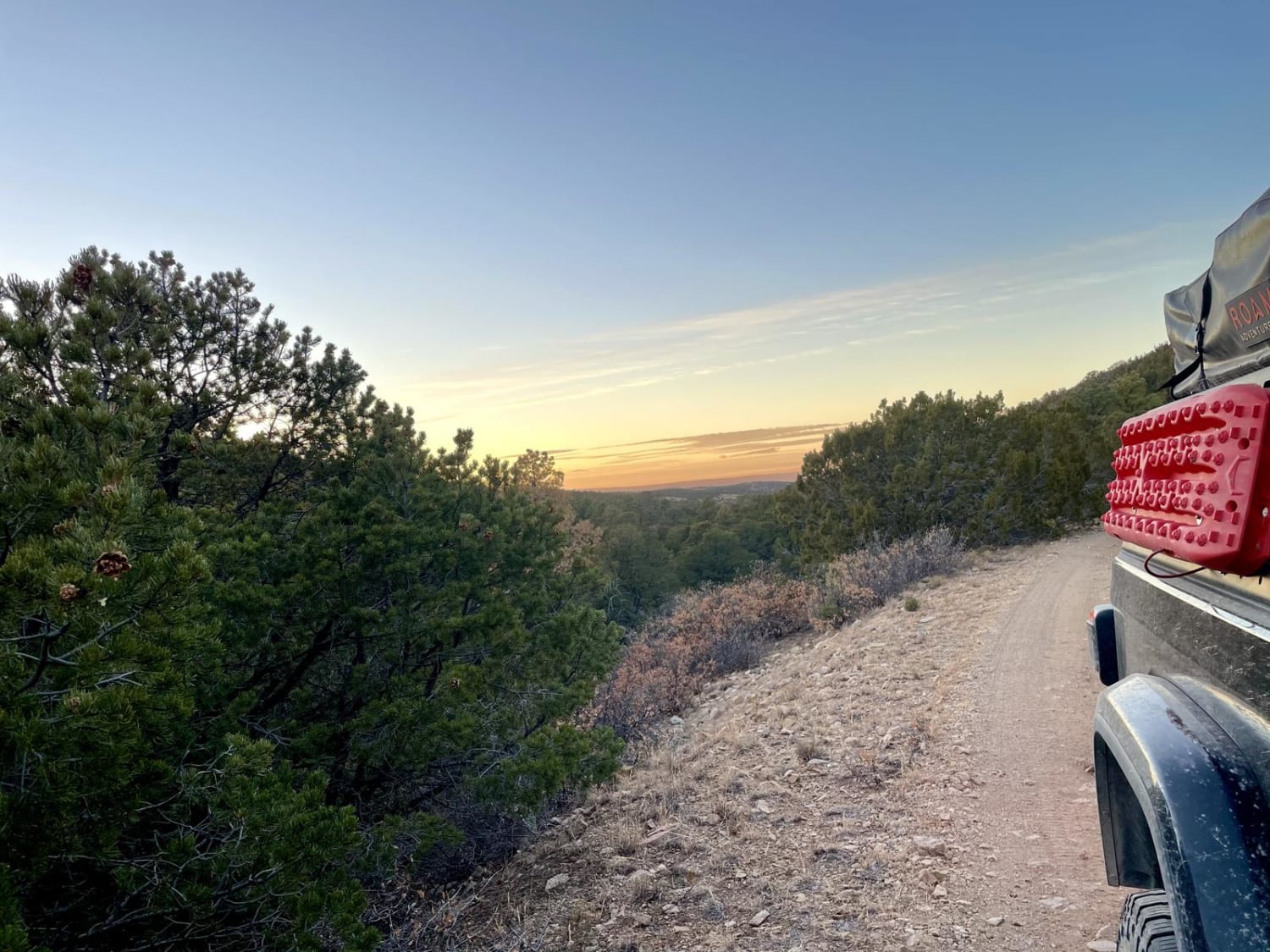
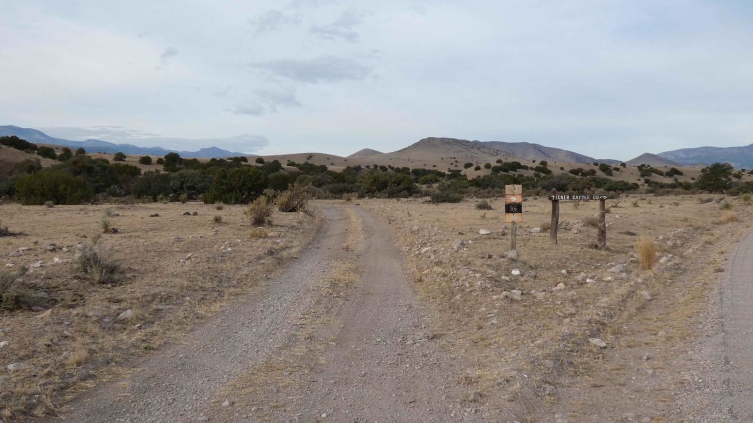
Easily accessed from highway 52, this simple trail leads into the Cibola National Forest ending with a view of Mt. Welty. This trail passes private property, please be respectful. The end of this trail offers access to other routes to continue your adventure. Sloping canyon walls, grazing cattle and wildlife are just some of what make up this part of the Cibola.
Photos of West Red Canyon
Difficulty
Wash board conditions on most of the trail.
Status Reports
Popular Trails

FR 316 Coyote Canyon

Jack's Valley

Elk Standoff

Old Spanish Trail
The onX Offroad Difference
onX Offroad combines trail photos, descriptions, difficulty ratings, width restrictions, seasonality, and more in a user-friendly interface. Available on all devices, with offline access and full compatibility with CarPlay and Android Auto. Discover what you’re missing today!

