Cuyler Hill PFAR
Total Miles
1.0
Technical Rating
Best Time
Spring, Summer, Fall
Trail Type
Full-Width Road
Accessible By
Trail Overview
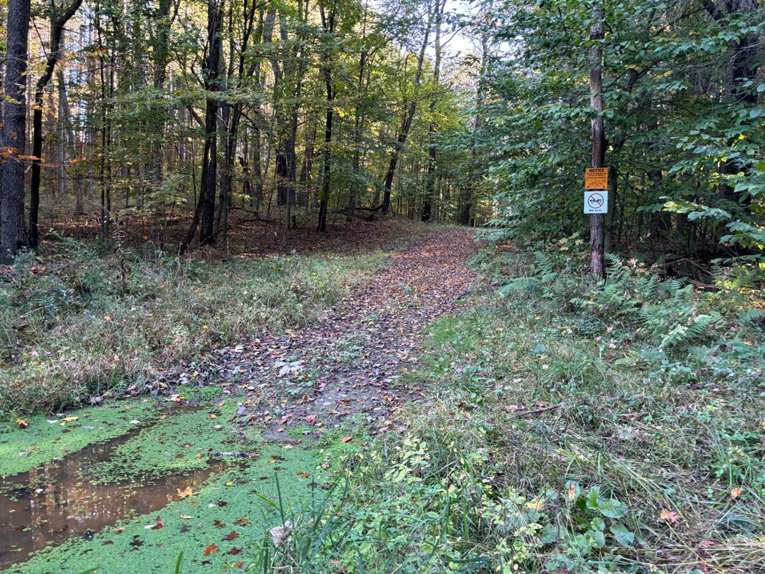
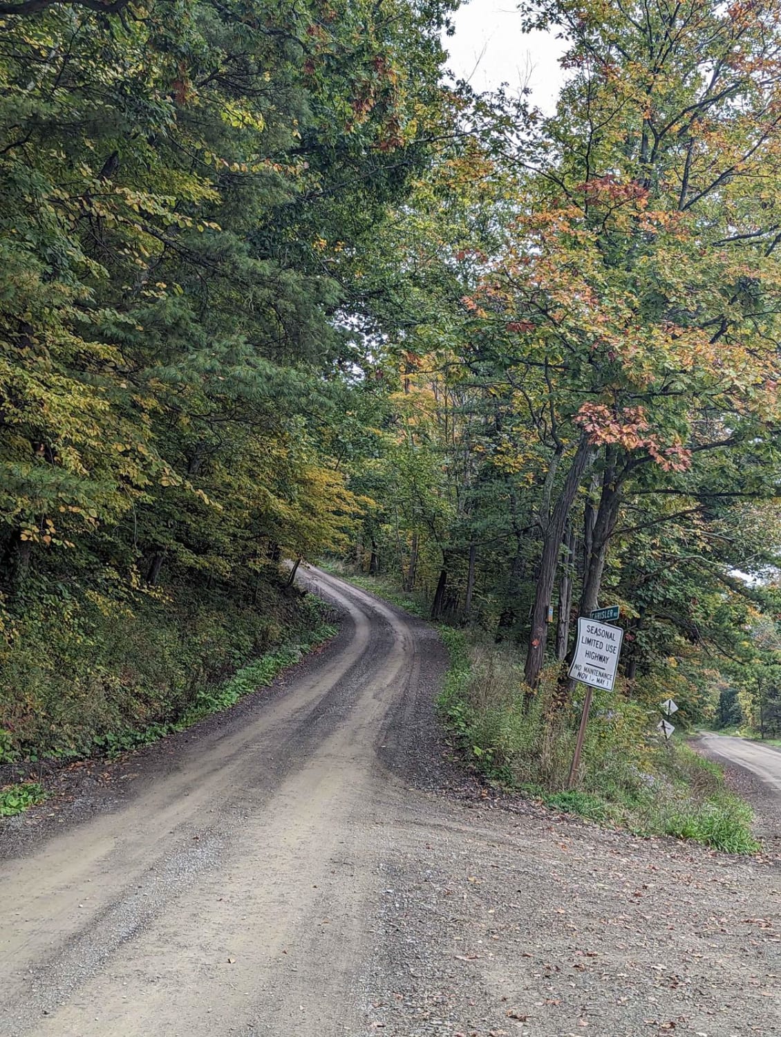
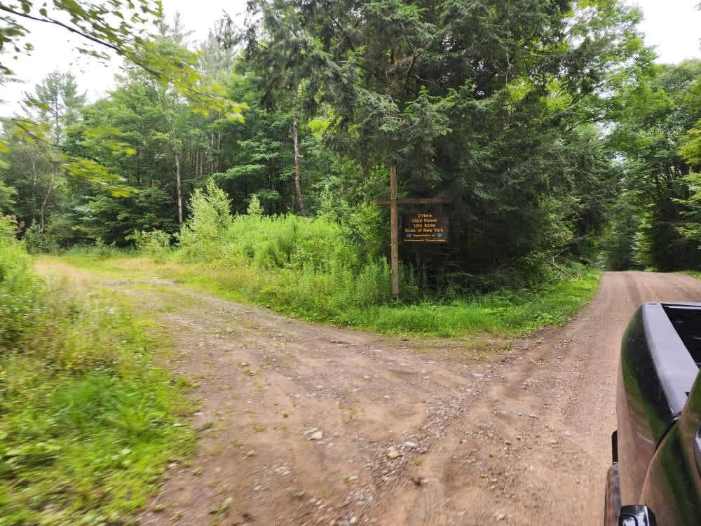
This is a two-track seasonal gravel road. The trail is not well maintained and is generally rutted with sections of softball-sized rocks. It is a short out-and-back trail and starts with a gentle hill climb over the rocks, ruts, and washouts. The end of the trail is in the forest and is often muddy and rutted. Stock SUVs and trucks with appropriate off-road tires can manage the trail.
Photos of Cuyler Hill PFAR
Difficulty
The road has multiple wash out areas and in the spring the ruts can be deeper than eight inches. The turnaround is in the forest and often muddy.
History
The land where Maxon Creek State Forest is located was originally cleared and farmed by European settlers and Revolutionary War Veterans. However, the upland soils of the Allegheny Plateau are thin, relatively steep, and acidic. As such, the ground is not fit for intensive farming. When combined with harsh winters and a short growing season, it is easy to understand why farmers abandoned these lands in pursuit of greener pastures in the Midwest. Most of the land was purchased by the State for reforestation between 1933 and 1963, with an additional purchase made in 1974.
Status Reports
Cuyler Hill PFAR can be accessed by the following ride types:
- High-Clearance 4x4
- SUV
Cuyler Hill PFAR Map
Popular Trails

Caterpillar Crawl Exit
The onX Offroad Difference
onX Offroad combines trail photos, descriptions, difficulty ratings, width restrictions, seasonality, and more in a user-friendly interface. Available on all devices, with offline access and full compatibility with CarPlay and Android Auto. Discover what you’re missing today!


