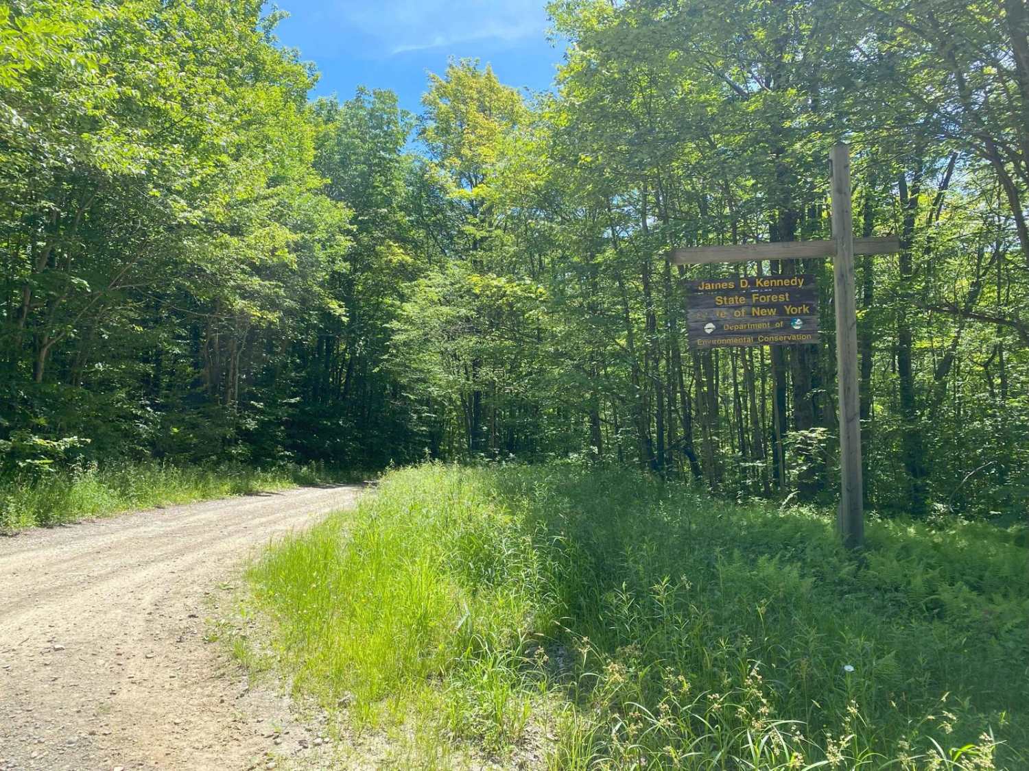
Kennedy State Forest
Total Miles
4.2
Technical Rating
Best Time
Spring, Summer, Fall
Trail Type
Full-Width Road
Accessible By
Trail Overview
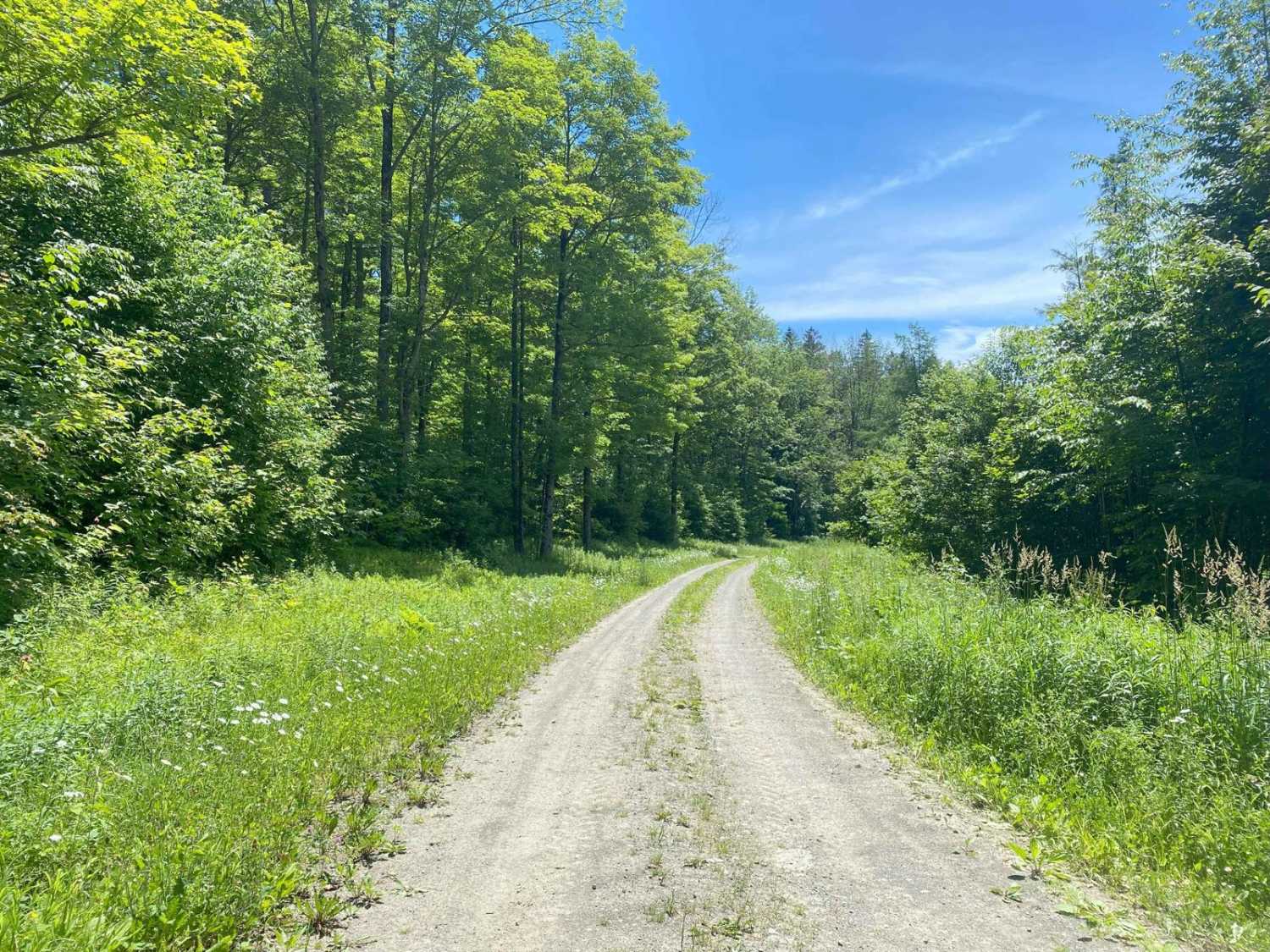
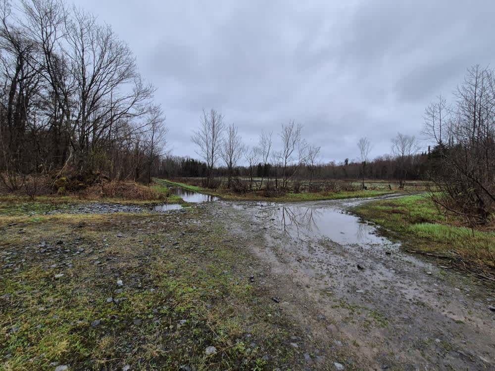
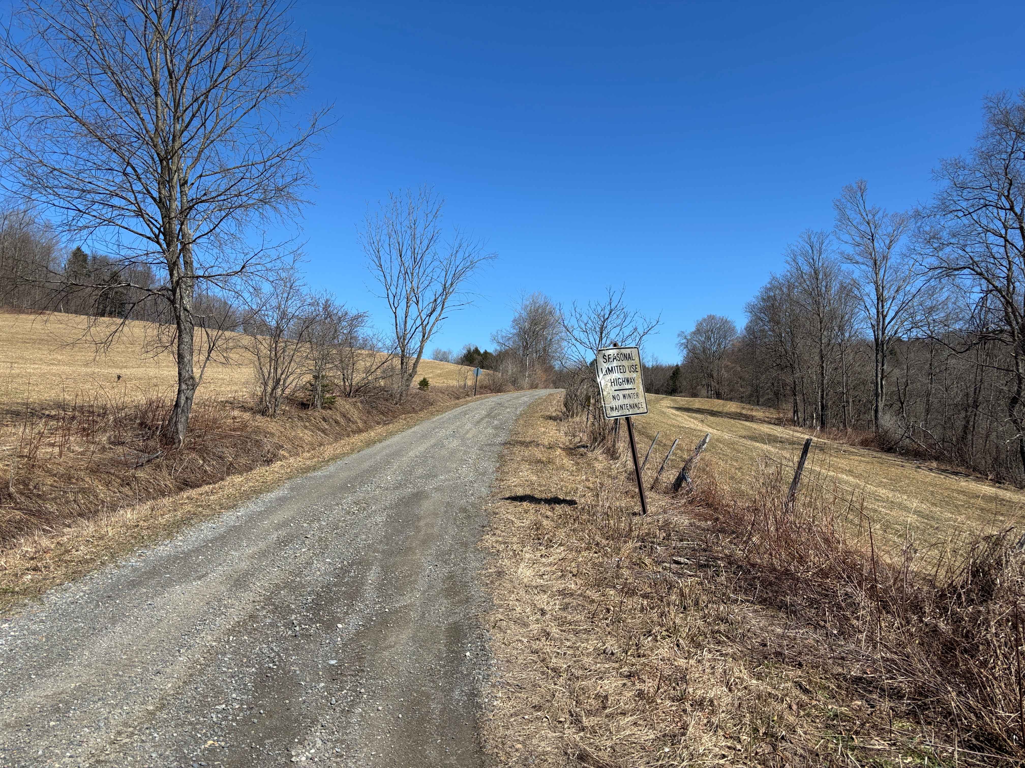
Seasonal road that winds through the forest. Several spots are fairly rutted and narrow with an occasional pull-off to pass. The drive through the forest and then along the fields is very scenic with spectacular views of the hills in multiple places. There are numerous hiking trails that wind through the forest and run along and across multiple streams.
Photos of Kennedy State Forest
Difficulty
This is an easy going two-track road that can be traversed by any stock SUV when dry. Ruts may make it challenging for stock vehicles with little clearance. The trail difficulty will increase after a good rain and in the spring when the most of the trail will be deeply rutted and muddy.
History
Between 1931 and 1976, approximately 2,280,500 pine, spruce, cedar, larch and red oak were planted to aid in reforestation of the area. The trees were planted by members of the Civilian Conservation Corps (CCC) Camp S-125 based in Slaterville Springs, NY, Conservation Department staff (now DEC), Camp Pharsalia crews, and social service crews. Today the forest provides a diverse group of ecological, economic and recreational services. The towns of Virgil, Lapeer, and Harford, in which the forest is located, were developed under the Military Tract that was established in 1789. During the Revolutionary War, New York State needed soldiers to protect its borders. Since the State had little money to pay its soldiers, a plan was devised to pay them with land. The Governor of New York, DeWitt Clinton, plotted land from Oswego to the southern border of present-day Cortland County. This land was dedicated for the payment of New York's Revolutionary War soldiers. The land was then divided into smaller sections of about ten square miles called townships. These townships were then divided into sections of land approximately 600 acres each to be allotted to individual soldiers. Unfortunately, the majority of the soldiers did not utilize such payments, preferring instead to take their chances elsewhere. In those instances, the soldier sold his land warrant to a speculator who would commonly divide the lots into smaller pieces and then sell them for a large profit.
Status Reports
Kennedy State Forest can be accessed by the following ride types:
- SUV
Kennedy State Forest Map
Popular Trails
Glenfield and Western Railroad Corridor
Randall Hill Road
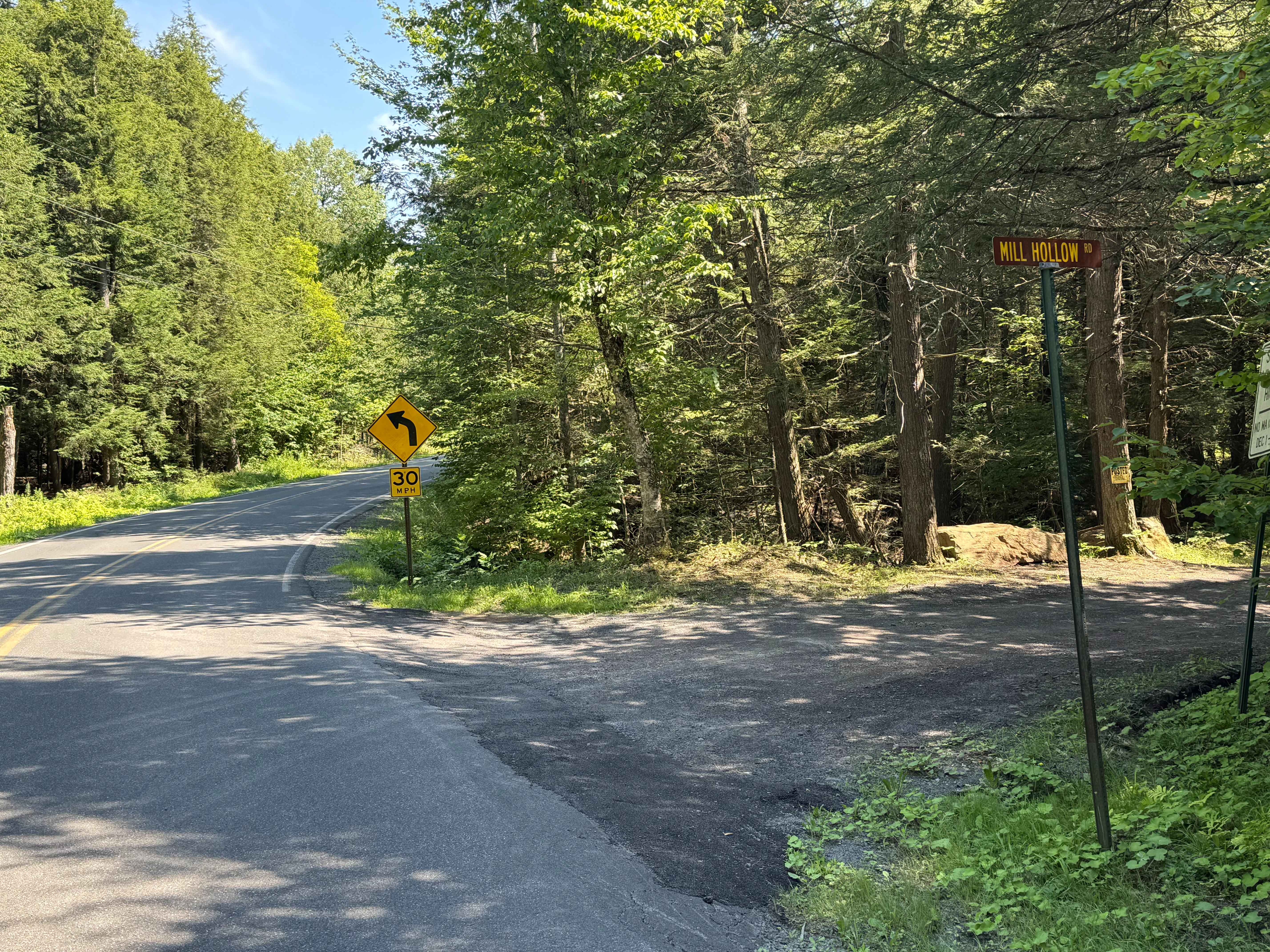
Mill Hollow Road

The onX Offroad Difference
onX Offroad combines trail photos, descriptions, difficulty ratings, width restrictions, seasonality, and more in a user-friendly interface. Available on all devices, with offline access and full compatibility with CarPlay and Android Auto. Discover what you’re missing today!