Tannery Rd
Total Miles
7.0
Technical Rating
Best Time
Summer
Trail Type
High-Clearance 4x4 Trail
Accessible By
Trail Overview
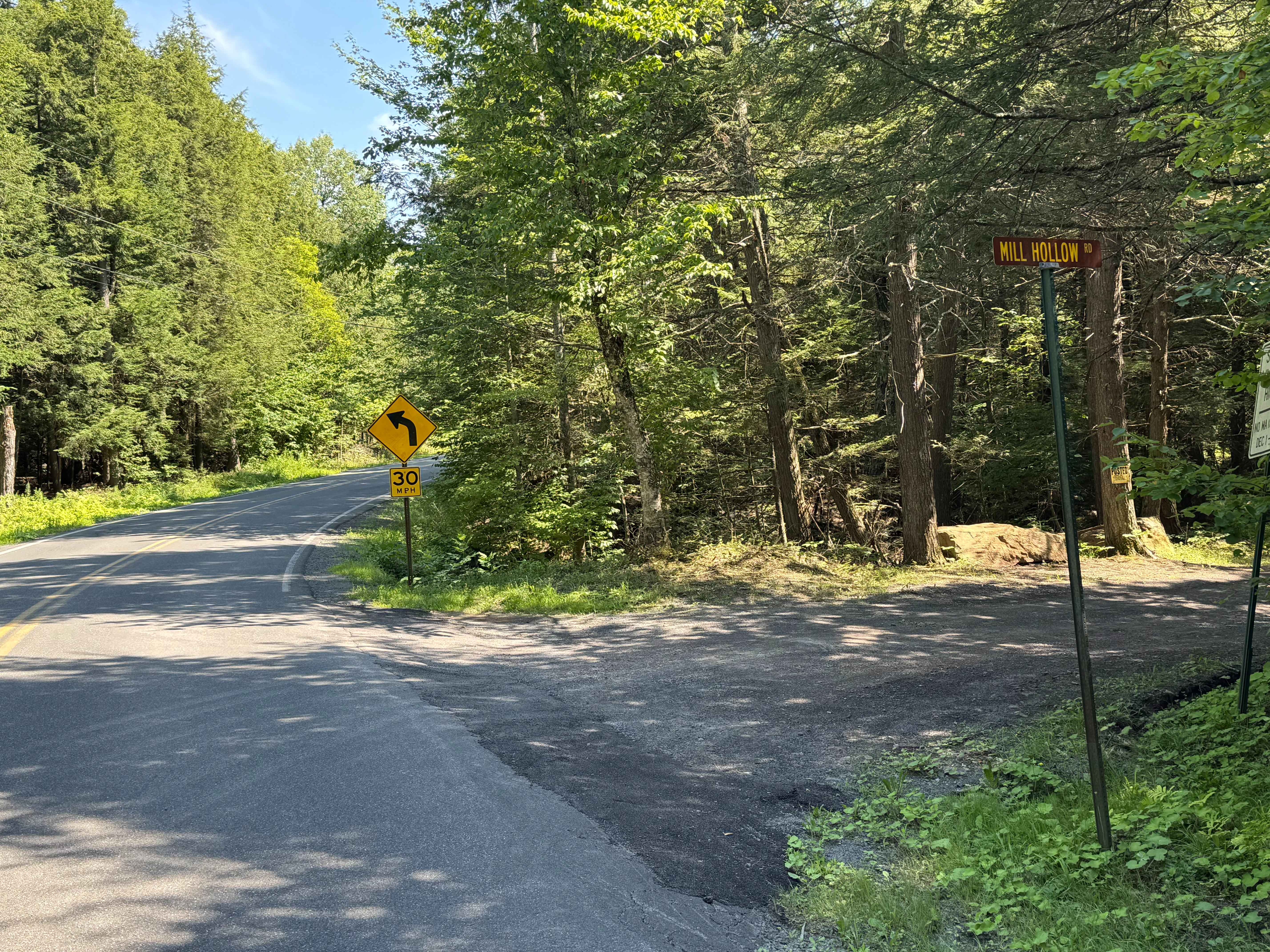
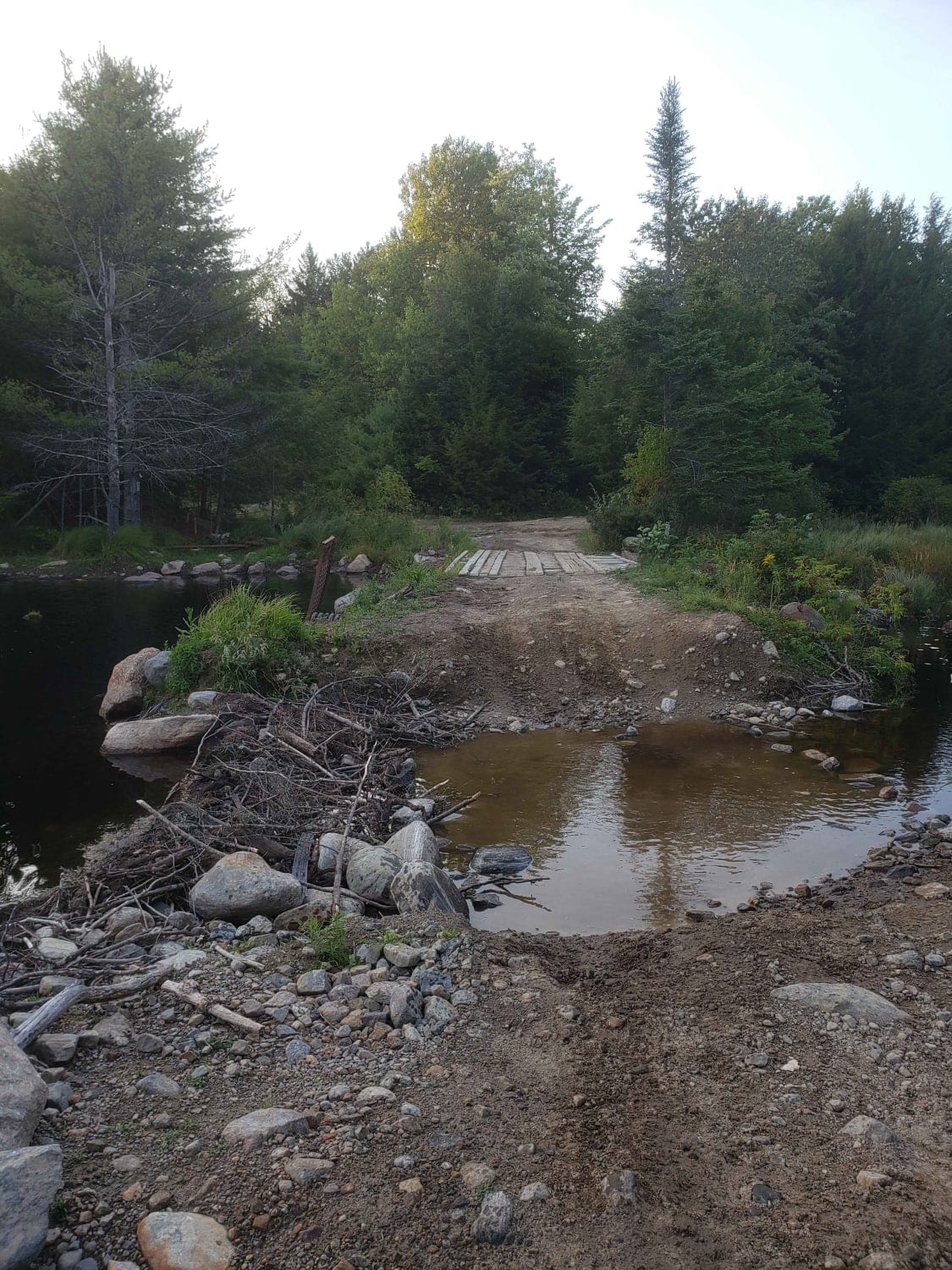
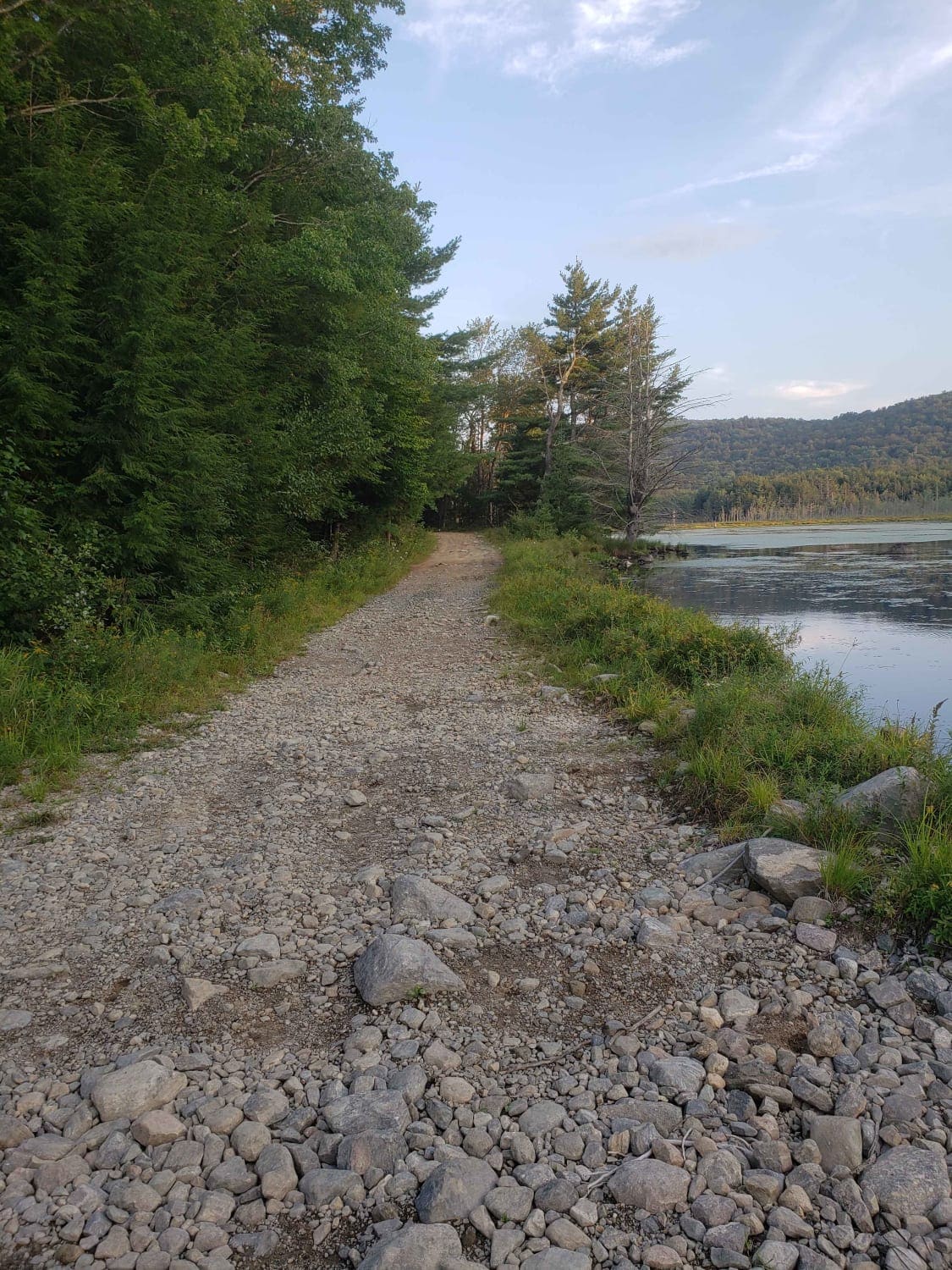
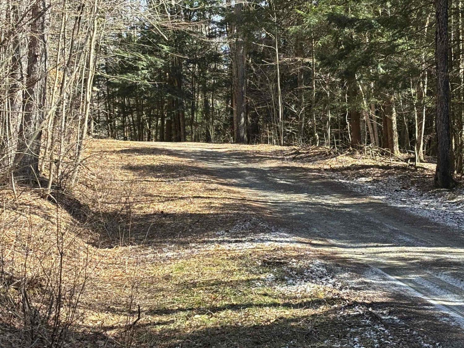
Tannery road is a nice connecting off-road trail between Rt 125 and Rt 30. From north to south it starts off with a rocky uphill that transitions to some nice wooded trail. There is a beaver dam/ stream crossing with a small bridge in one spot and water crossing in another. The trail is mostly dry during the summer but can be muddy in the spring and fall.
Photos of Tannery Rd
Difficulty
The beginning of the trail has a rocky uphill that would need some lifted clearance or larger tires. There is a bridge crossing and water crossing that could be difficult with a larger vehicle. During heavy rain the beaver dam/river section looks like it could flood and have deep mud holes
Status Reports
Tannery Rd can be accessed by the following ride types:
- High-Clearance 4x4
- SxS (60")
- ATV (50")
- Dirt Bike
Tannery Rd Map
Popular Trails

Olmstead Hill Road / Peck Road (seasonal)

Mill Hollow Road
The onX Offroad Difference
onX Offroad combines trail photos, descriptions, difficulty ratings, width restrictions, seasonality, and more in a user-friendly interface. Available on all devices, with offline access and full compatibility with CarPlay and Android Auto. Discover what you’re missing today!


