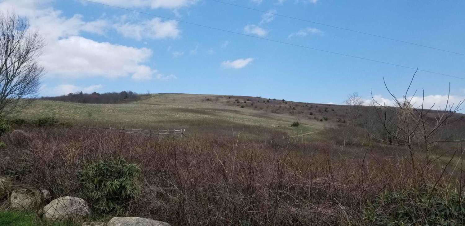
Max Patch Road
Total Miles
8.6
Technical Rating
Best Time
Fall
Trail Type
Full-Width Road
Accessible By
Trail Overview
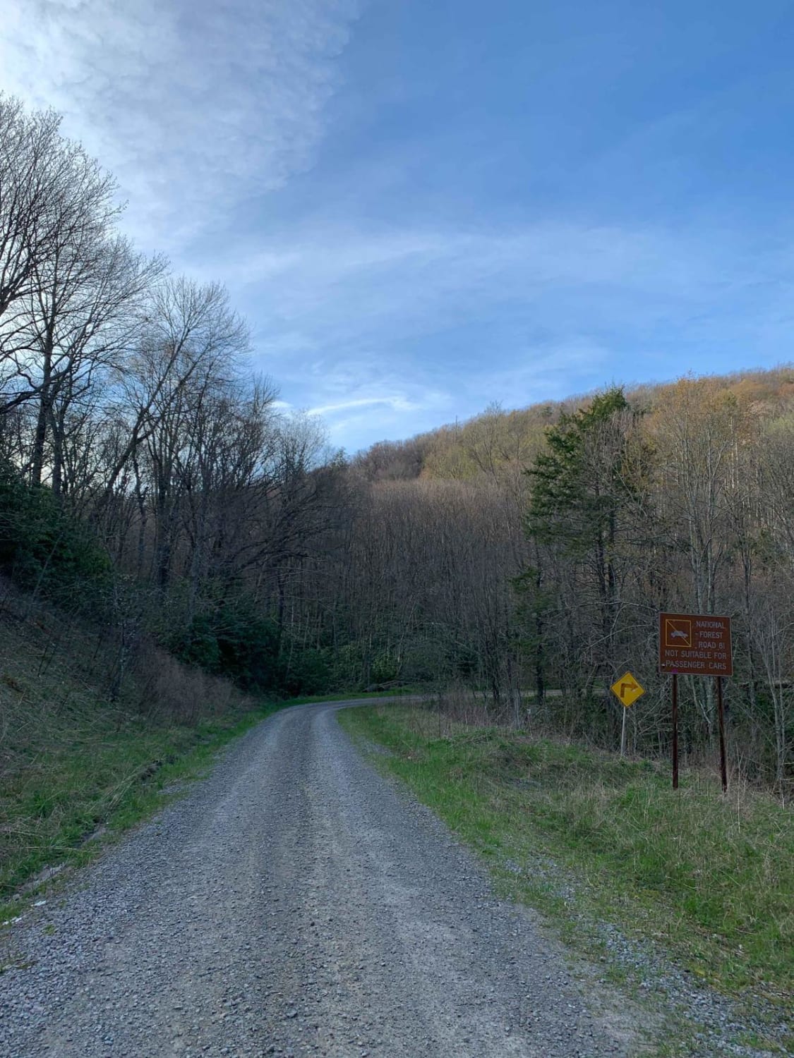
This is an 8.7-mile gravel forest service road that can be entered from the south via the Fines Creek area, just east of Interstate 40 in Clyde, North Carolina. Traveling north, the road becomes gravel and leads to a variety of scenic destinations such as Hurricane Creek, Max Patch, Round Mountain, Brown Gap Road, the Martha Sundquist State Forest, the Appalachian Trail, and numerous streams and rivers. Elevations vary between 3,500 feet and 4,329 feet near the summit of Max Patch Mountain. The road is generally well-groomed and easily traversed by adventure motorcycles, SUVs, trucks, and plated vehicles. The road is steep in sections and can be challenging in bad weather with washboards, ruts, and holes. Cell service is very limited. A few campsites are scattered along the road as well.
Photos of Max Patch Road
Difficulty
The road is generally well-groomed and easily traversed by adventure motorcycles, dual sports, SUVs, trucks, and plated vehicles. The road is steep in sections and can be challenging in bad weather with washboards, ruts, and holes.
History
Max Patch is a bald mountain with 360-degree views on the North Carolina-Tennessee Border in Madison County, North Carolina, and Cocke County, Tennessee. It is a major landmark along the Tennessee/North Carolina section of the Appalachian Trail.
Popular Trails
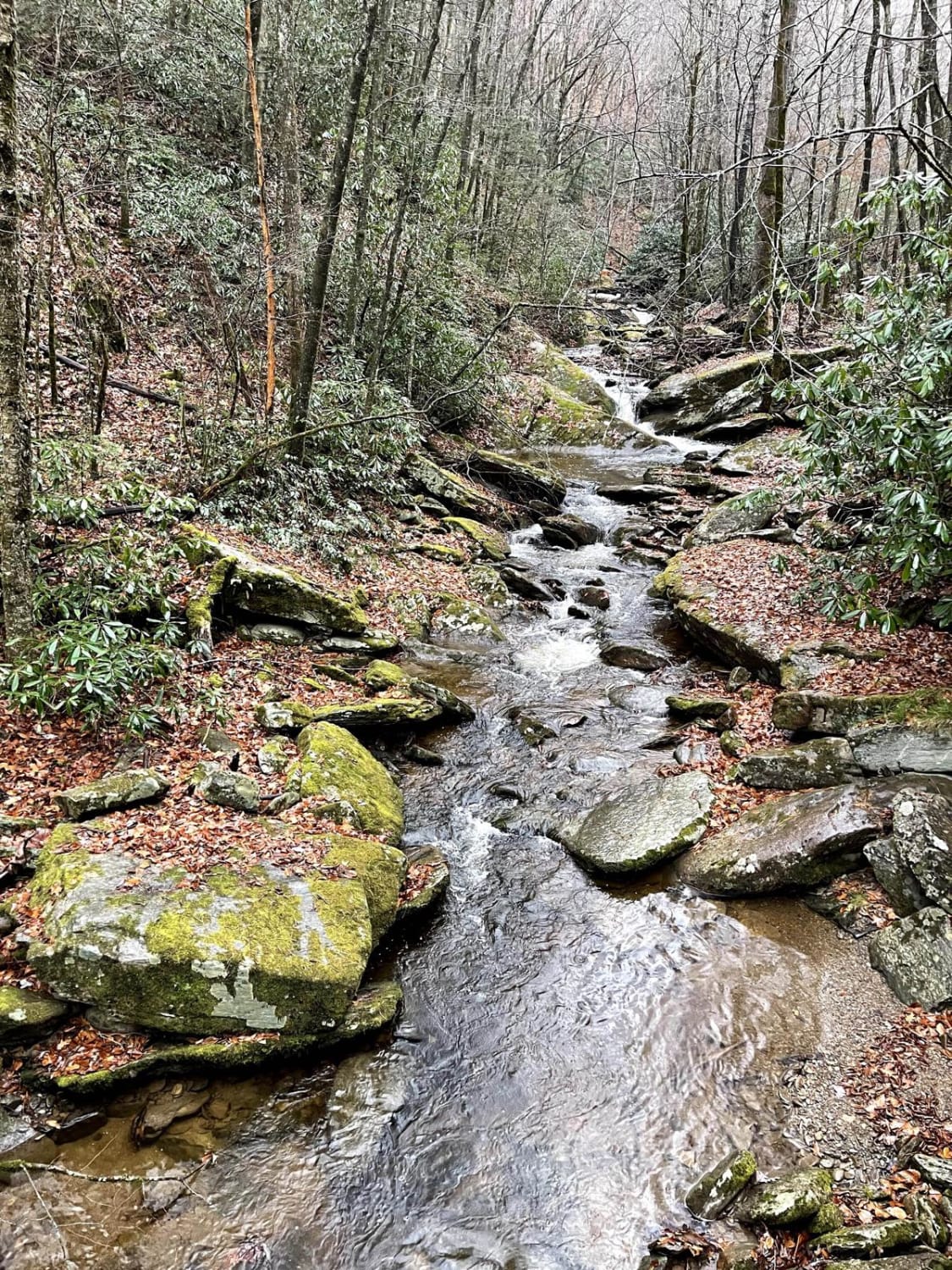
Creek Side Scenic Drive
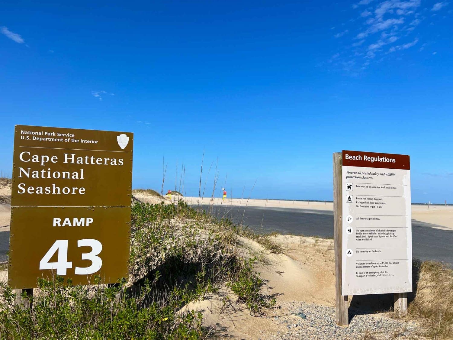
Inside Road to Cape Point
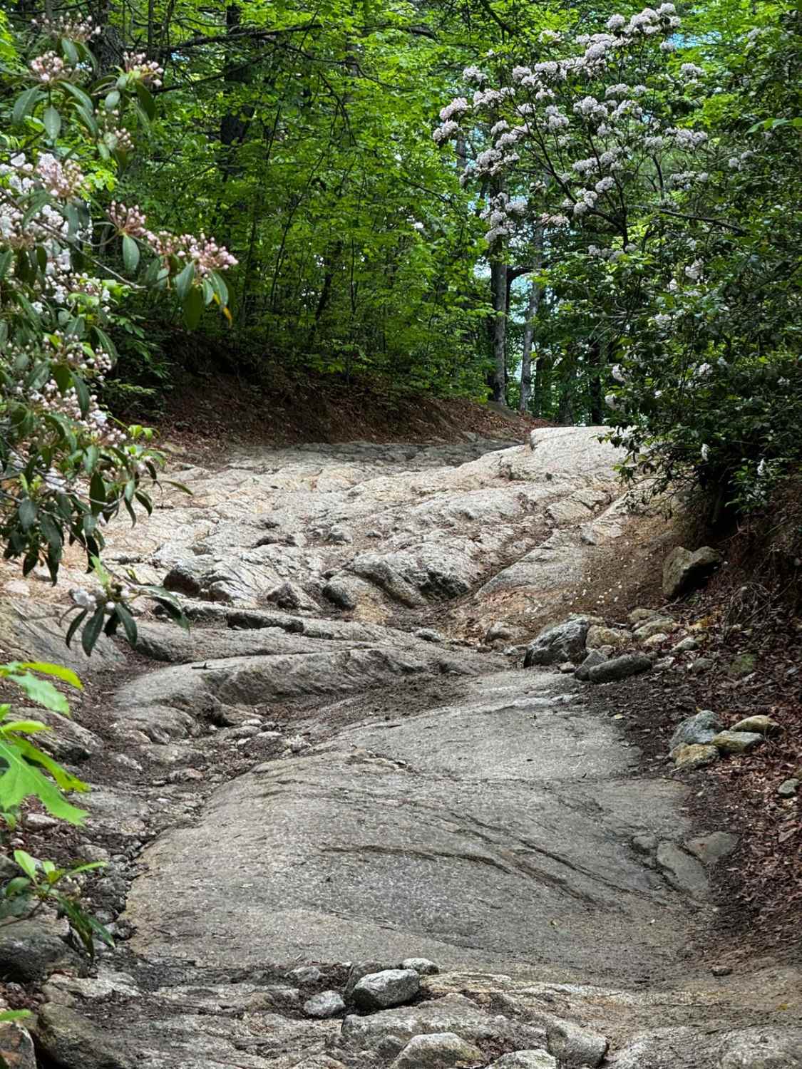
Brown Mountain Trail 1
North River Rd to Upper Santeetlah - 81
The onX Offroad Difference
onX Offroad combines trail photos, descriptions, difficulty ratings, width restrictions, seasonality, and more in a user-friendly interface. Available on all devices, with offline access and full compatibility with CarPlay and Android Auto. Discover what you’re missing today!
