Middle Little
Total Miles
5.0
Technical Rating
Best Time
Fall, Summer
Trail Type
Full-Width Road
Accessible By
Trail Overview
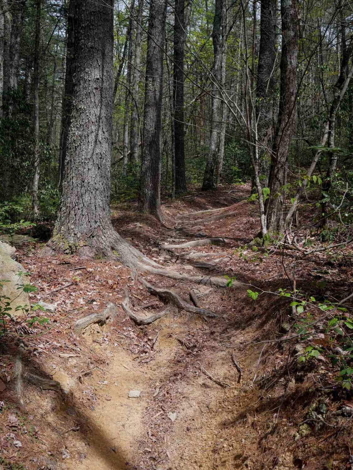
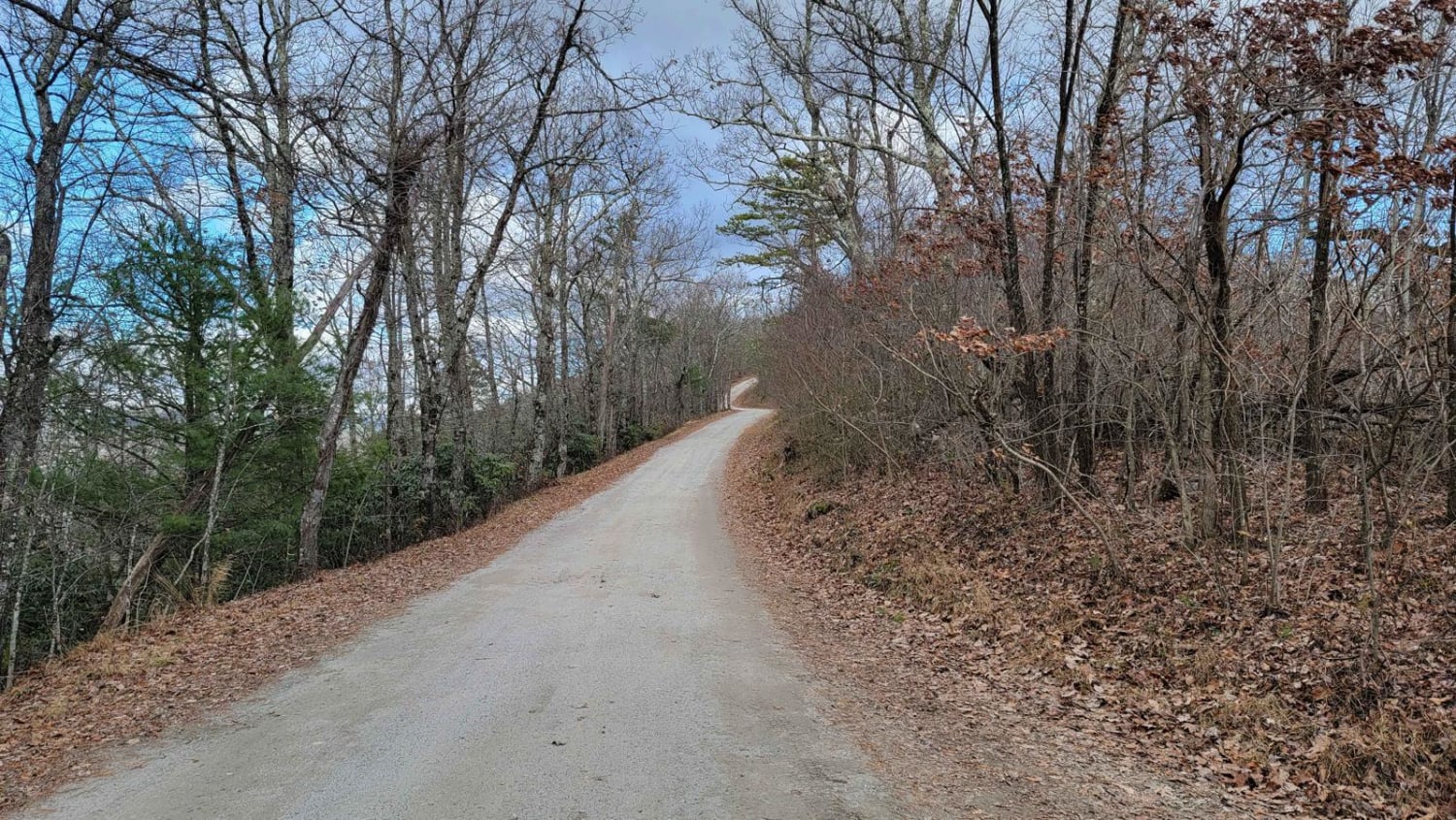
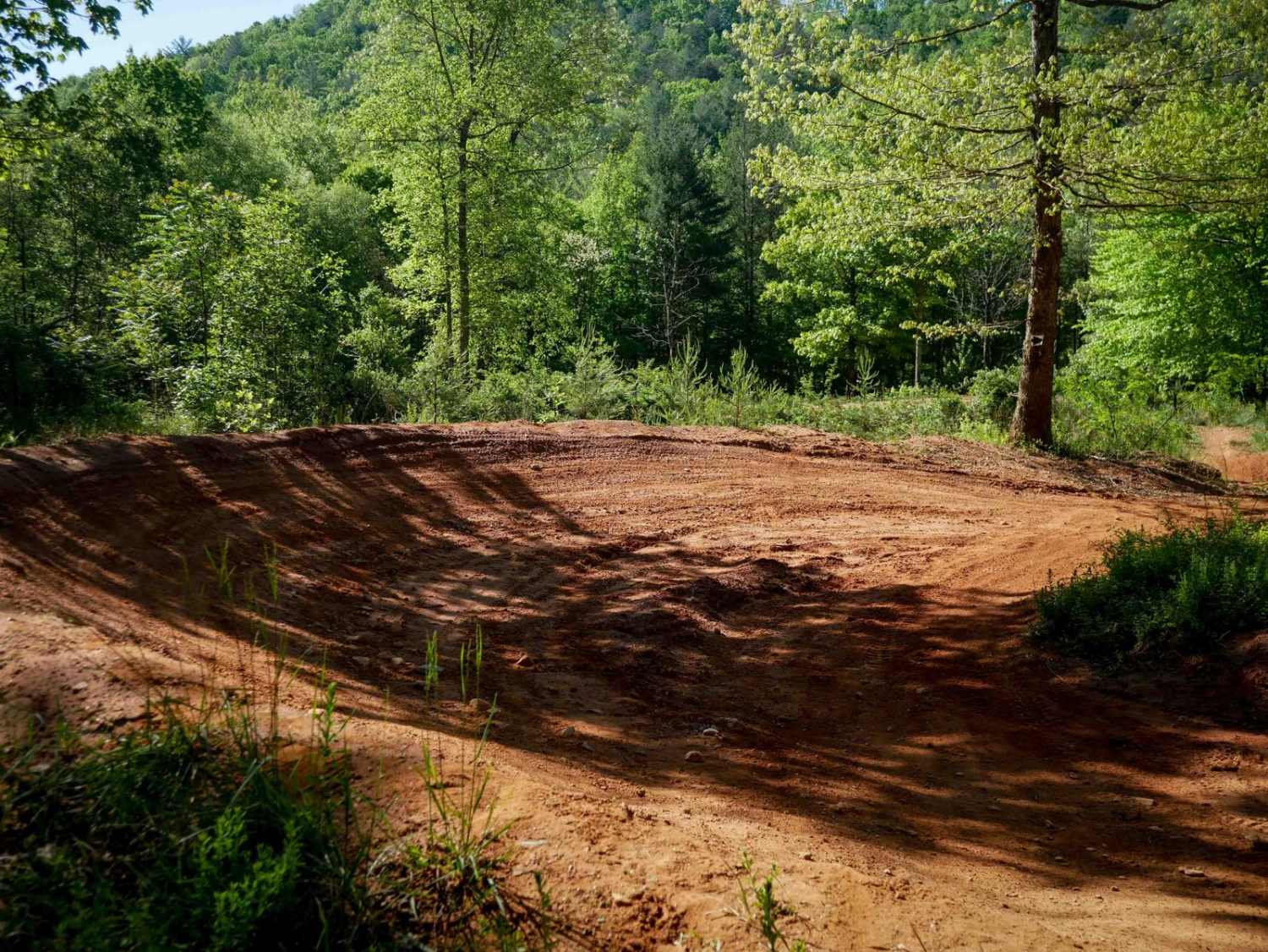
Beautiful single-vehicle width track through the forest. The entry/exit route to the northwest is very, very corrugated. But to the south, you'll find one of the widest and smoothest unpaved roads in the country. The trail is pretty straightforward when dry, lots of large potholes punctuate an otherwise mundane two-track road. There are a few spots where, after rain, the road could become very difficult. Especially around 2.7 miles coming in from the north, where a larger obstacle spans the entire width of the road.
Photos of Middle Little
Difficulty
Little elevation change throughout the entire trail. But there are a couple spots where mud holes could be very challenging after a heavy rain.
Status Reports
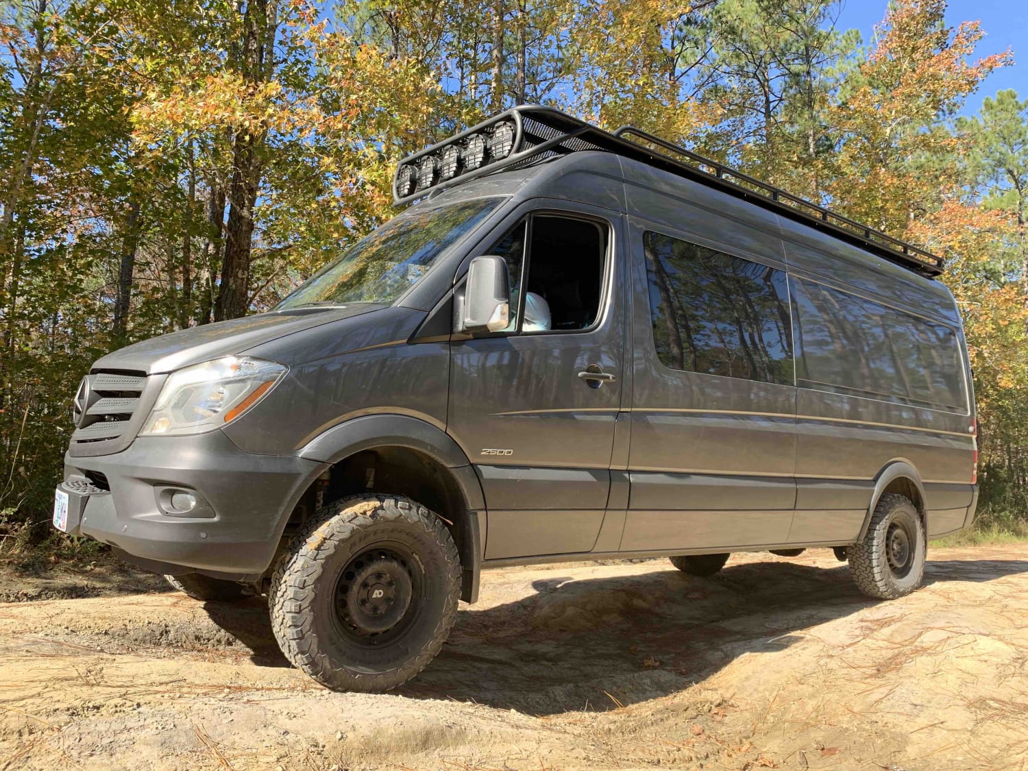
Middle Little can be accessed by the following ride types:
- High-Clearance 4x4
- SUV
Middle Little Map
Popular Trails

Holston Creek

Trail 5 Ned's Knob
The onX Offroad Difference
onX Offroad combines trail photos, descriptions, difficulty ratings, width restrictions, seasonality, and more in a user-friendly interface. Available on all devices, with offline access and full compatibility with CarPlay and Android Auto. Discover what you’re missing today!


