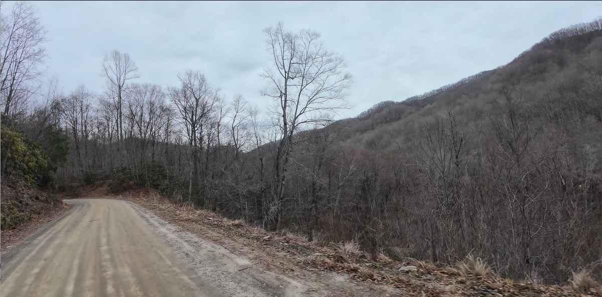
Tuni Gap Road - FS 440
Total Miles
6.3
Technical Rating
Best Time
Fall, Summer
Trail Type
Full-Width Road
Accessible By
Trail Overview
Tuni Gap Road, also known as Forest Service Road 440, is a 6.3-mile-long two-way gravel road that connects Hayesville, North Carolina with Andrews, North Carolina. It is one of the only routes that passes completely through the Fires Creek Wildlife Management Area and the Nantahala National Forest on the west side of Nantahala Lake and is somewhat of a short cut versus taking Highways 64 and 74 around to the west. Tuni Gap Road is closed for the winter season, typically from January 2nd to April 1st.
Photos of Tuni Gap Road - FS 440

Difficulty
This is a well maintained gravel road generally accessible by plated and registered motorcycles, UTVs, passenger cars, and 2wd vehicles. Weather can change the condition of the road, with washouts and washboard becoming common following heavy rains.
Status Reports

Popular Trails
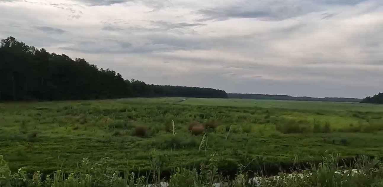
Alligator River National Wildlife Refuge

Blue Valley Road

Pettiford Creek Eastern Entrances
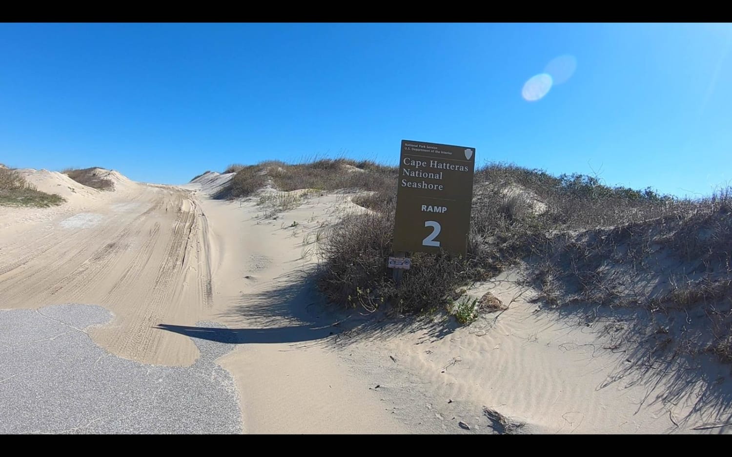
Cape Hatteras Ramp 2 to 4
The onX Offroad Difference
onX Offroad combines trail photos, descriptions, difficulty ratings, width restrictions, seasonality, and more in a user-friendly interface. Available on all devices, with offline access and full compatibility with CarPlay and Android Auto. Discover what you’re missing today!