Back Bone
Total Miles
30.8
Technical Rating
Best Time
Fall, Spring
Trail Type
Full-Width Road
Accessible By
Trail Overview
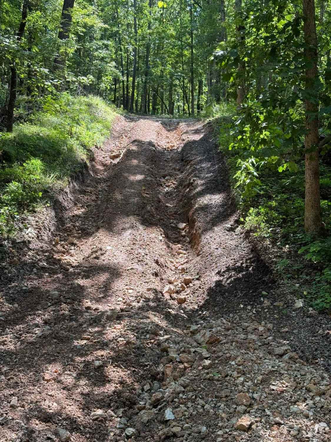
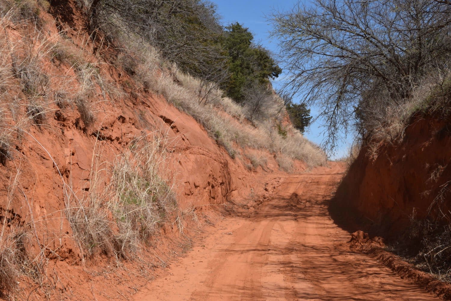
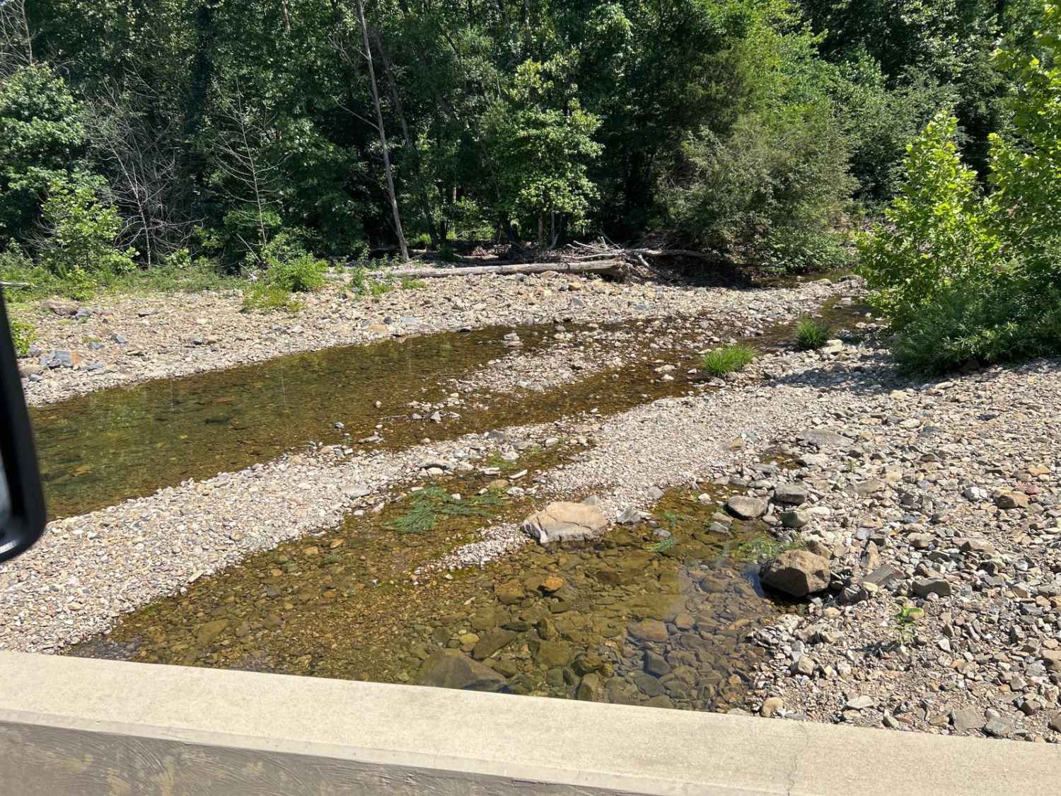
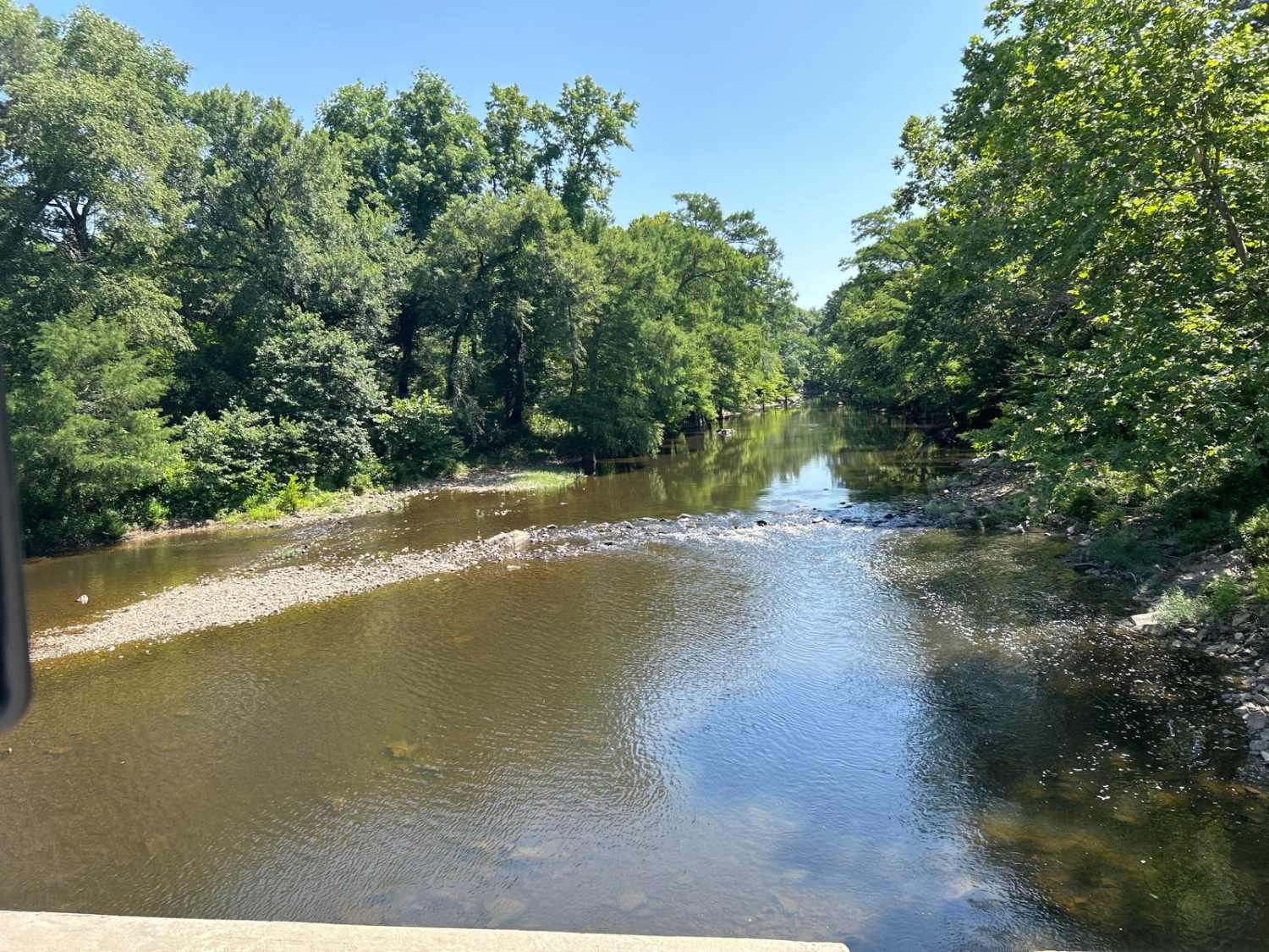
This is a basic road with a wonderfully scenic view of the back side of the Broken Bow Lake area, This runs by a wildlife area and is the access road to lots of national forest services roads and areas. We utilize this as a base road to get to a lot of the "backroads and logging roads" that have been abandoned and make great trail rides. The trail offers some wonderfully scenic views of McCurtain County and the Quachita National Forest. The Trail runs from Highway 70 east of Broken Bow to North of Hochatown. There is a water crossing near Highway 259 that should be of interest and not crossed in high water. It has a low water bridge but it can be too deep to cross. There are several creek crossings and some swimming holes on the trip, but all have low-water bridges. Have fun but check the rainfall for the Narrows, the area with the low water bridge across Mountain Fork River.
Photos of Back Bone
Difficulty
The road is a main thoroughfare for the locals but this area is sparsely populated. The road is not always two vehicles wide but is always wide enough to allow passing in both directions.
History
Most of the trails are older, the side spurs are logging roads since abandoned. This does come close to a NWS area and it is quite remote.
Status Reports
Back Bone can be accessed by the following ride types:
- High-Clearance 4x4
- SUV
- SxS (60")
- ATV (50")
- Dirt Bike
Back Bone Map
Popular Trails

Mountain Road

Emma's Trail

Sugar Creek Loop
The onX Offroad Difference
onX Offroad combines trail photos, descriptions, difficulty ratings, width restrictions, seasonality, and more in a user-friendly interface. Available on all devices, with offline access and full compatibility with CarPlay and Android Auto. Discover what you’re missing today!


