Cedar Creek Trail
Total Miles
9.6
Technical Rating
Best Time
Spring, Fall, Summer, Winter
Trail Type
Full-Width Road
Accessible By
Trail Overview
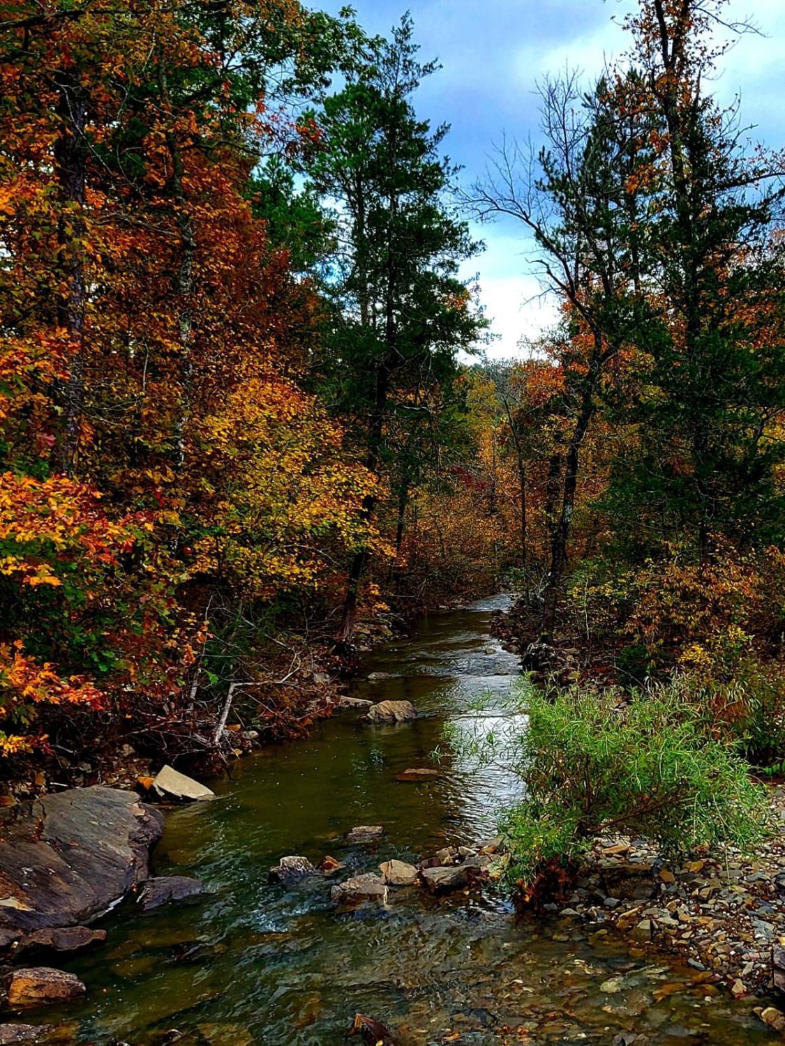
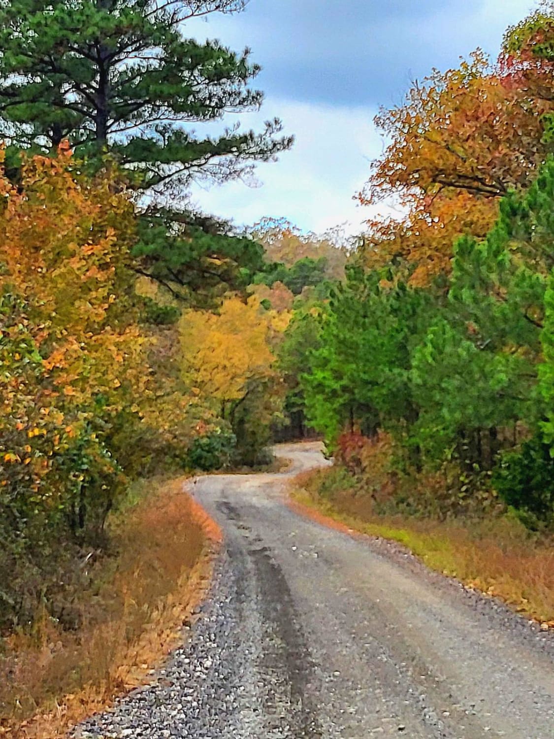
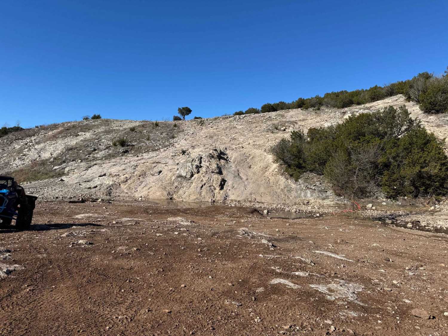
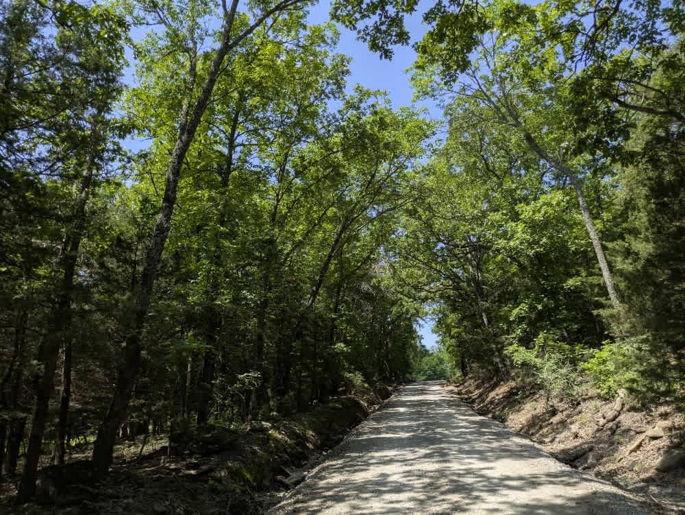
This trail is a dirt/gravel road that is well maintained. There are several low water crossing along this trail with 3' to 8' of water to cross and all with concrete drive-throughs. The gravel road has loose rocks and some washouts/mud holes. Cedar Creek runs along the side of the entire trail. Towards the west end of the trail along the ridge line has some great views of nearby mountains. At the west end, there is a new concrete bridge that goes over the larger part of the Creek which is where they have redesigned the road. On the right, right before the bridge is the original trail that will take you to a river crossing that depending on rain may be 1' to 3' deep. You will need to turn around and come back through it to get back to the trail. There is numerous dispersed campsite along this trail. A pull-off and unloading area to park trailers is at the beginning of the east side of the trail near Highway 259. Plenty of side trails to explore off of this trail. During fall it is a very scenic drive. Just remember to pack out what is packed in and check for local burn bans. Tread lightly as always.
Photos of Cedar Creek Trail
Difficulty
Be aware of loose gravel and rocks while driving. There may be a few washouts or mud holes. No technical driving is needed for this trail. Can be done with 2WD vehical. Dry season may be very dusty. Be sure to watch out for others on this trail.
Status Reports
Cedar Creek Trail can be accessed by the following ride types:
- High-Clearance 4x4
- SUV
- SxS (60")
- ATV (50")
- Dirt Bike
Cedar Creek Trail Map
Popular Trails

Working Man Race Track

Lenox Trail
The onX Offroad Difference
onX Offroad combines trail photos, descriptions, difficulty ratings, width restrictions, seasonality, and more in a user-friendly interface. Available on all devices, with offline access and full compatibility with CarPlay and Android Auto. Discover what you’re missing today!


