K-Trail
Total Miles
31.9
Technical Rating
Best Time
Spring, Summer, Fall, Winter
Trail Type
Full-Width Road
Accessible By
Trail Overview
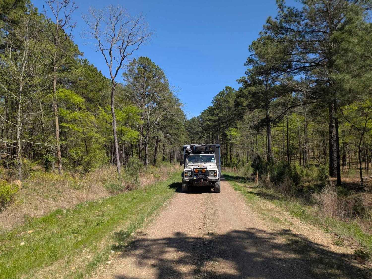
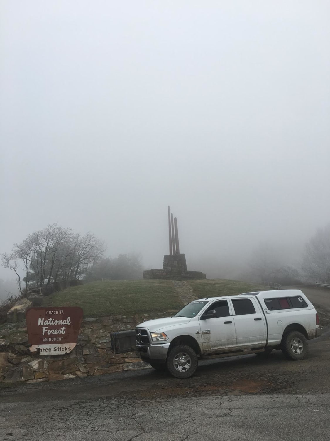
This is the current legal version of the well-known K-Trail. This short stretch along the Kiamichi Mountain ridgeline is an enjoyable 5-hour drive. Small rock gardens and plenty of red dirt make up this mildly bumpy run. Some small plots of private property are mixed in with this part of the Ouachita National Forest. This route can be run in either direction and has room for two vehicles passing with care. Dispersed camping is allowed in established areas. Three Sticks monument is at the intersection of the highway. It is a quirky little stop.
Photos of K-Trail
Difficulty
This is a well-traveled road that gets maintained every few years. During very heavy rains, parts of the road may be washed away and rock stacking may be necessary to pass.
Status Reports
K-Trail can be accessed by the following ride types:
- High-Clearance 4x4
- SUV
- Dirt Bike
K-Trail Map
Popular Trails

Sycamore Creek

The Shaft

53500 Creek Trail

Too Slick
The onX Offroad Difference
onX Offroad combines trail photos, descriptions, difficulty ratings, width restrictions, seasonality, and more in a user-friendly interface. Available on all devices, with offline access and full compatibility with CarPlay and Android Auto. Discover what you’re missing today!

