Bald Mountain
Total Miles
6.6
Technical Rating
Best Time
Summer, Fall
Trail Type
Full-Width Road
Accessible By
Trail Overview
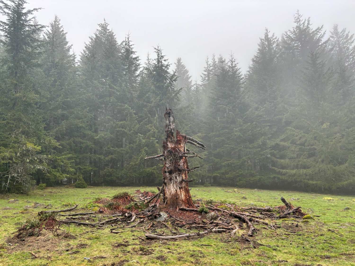
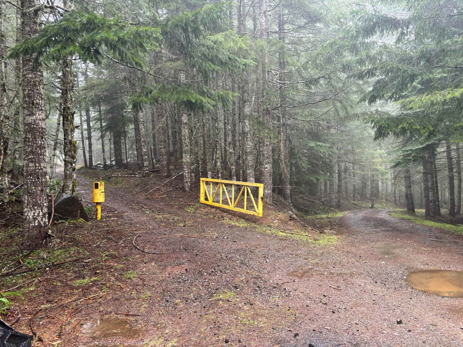
Start just west of McGuire Reservoir, turn left into an opening, and look for a bridge. This is a 6.7-mile route. Be aware that it crosses through Weyerhaeuser land with gates. The gates may be open or closed. At the end of the first section, there is a short (approximately 25 yards) of pavement on Bald Mountain Road. If the gates are closed, there is a nearly all-pavement option on Bald Mountain Road, although the entrance to Bald Mountain isn't paved. There are several open areas at the top of Bald Mountain to explore. Bald Mountain is 3,060-foot-tall and one of the taller mountains in the Upper Nestucca OHV area.
Photos of Bald Mountain
Difficulty
The trail is one vehicle wide and its potholes are frequent. In the spring, there may be debris on the trail or blocking the trail. The final climb to the top of Bald Mountain is not particularly difficult, although weather conditions may vary.
Status Reports
Popular Trails
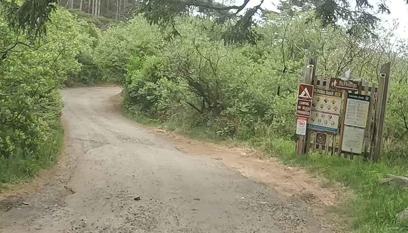
McPhillips Beach Trail
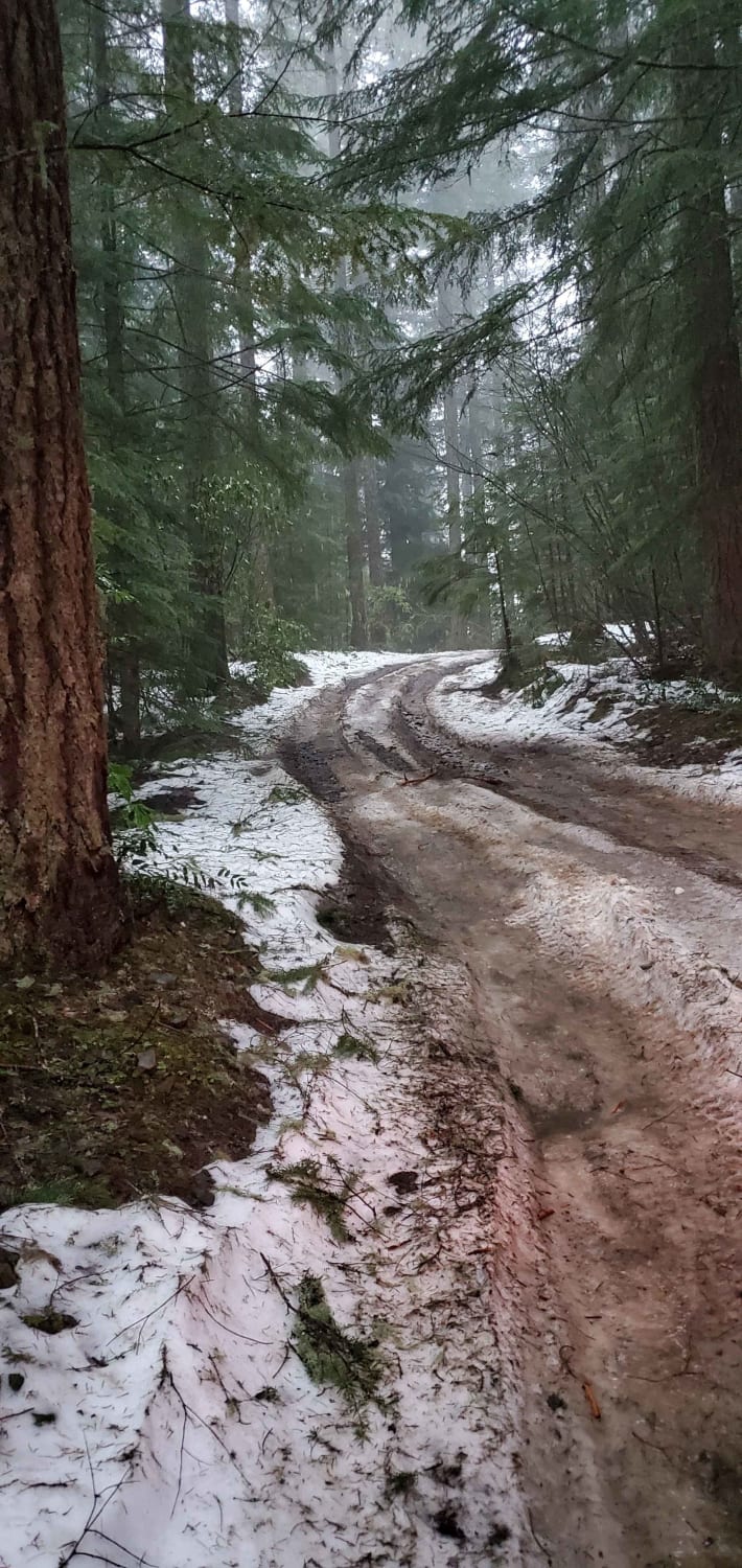
OHV Abbott Road Quarry
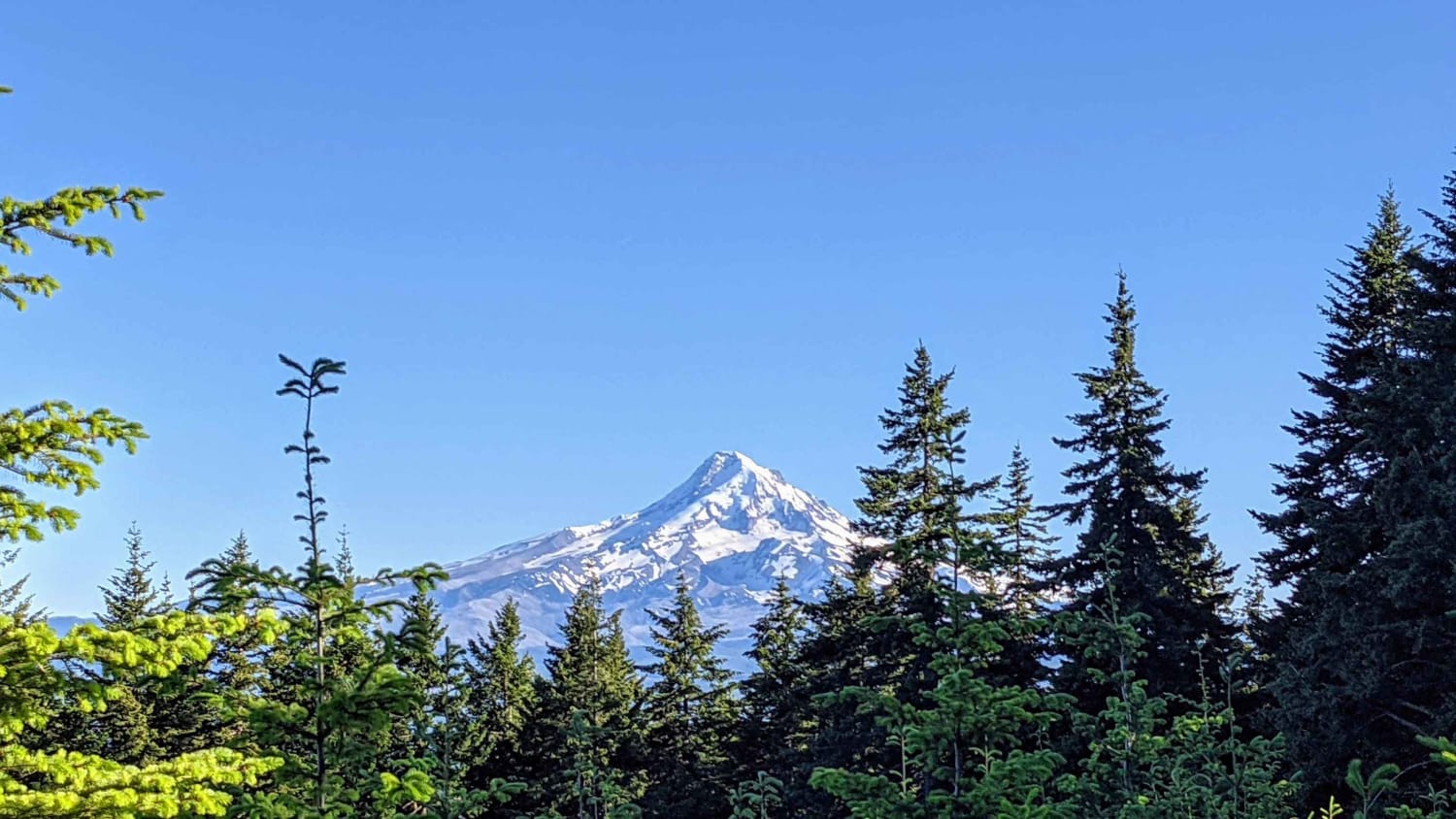
Mount Defiance - NF 2821000
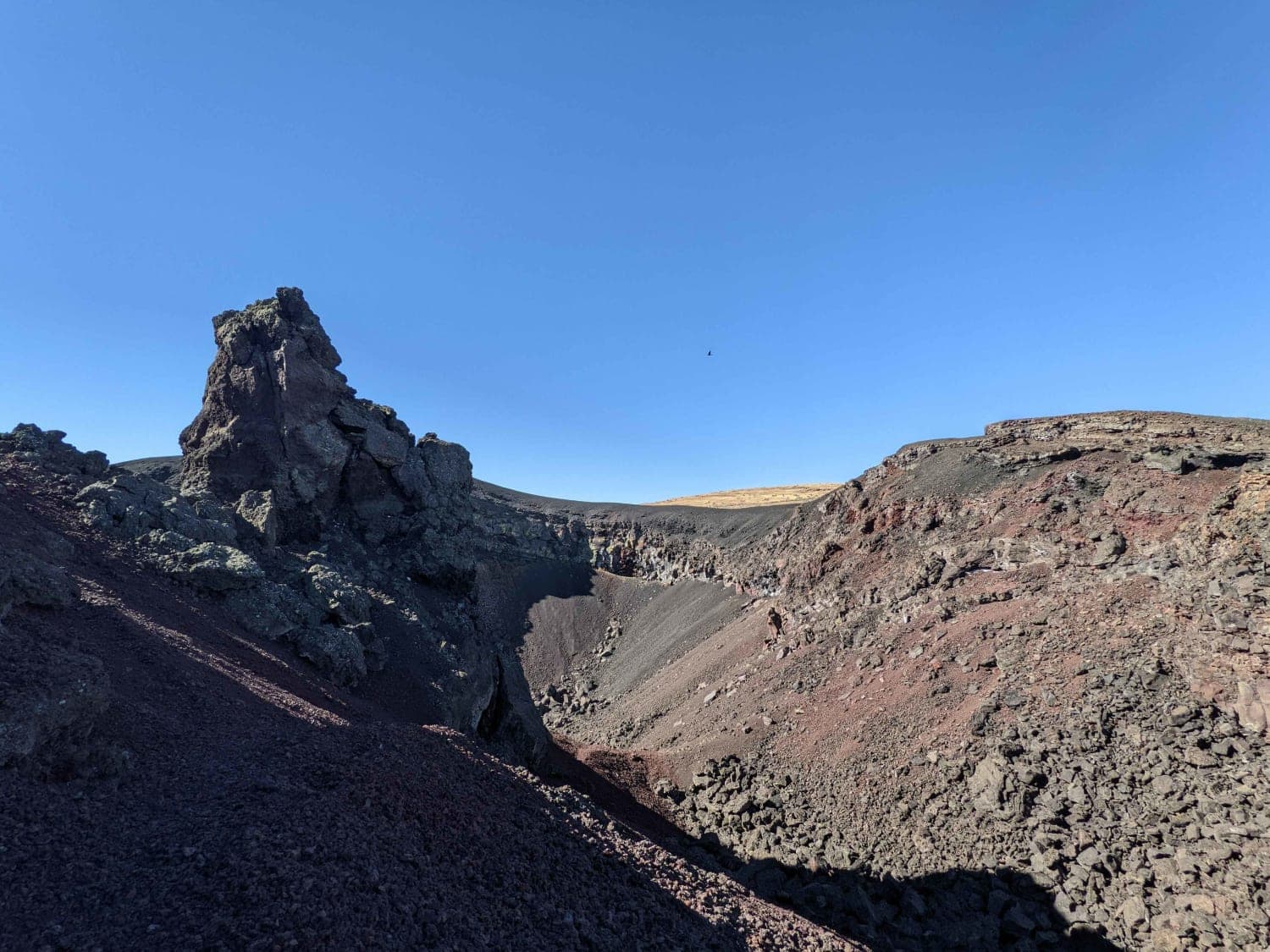
Coffeepot Crater Road
The onX Offroad Difference
onX Offroad combines trail photos, descriptions, difficulty ratings, width restrictions, seasonality, and more in a user-friendly interface. Available on all devices, with offline access and full compatibility with CarPlay and Android Auto. Discover what you’re missing today!
