Bull Run
Total Miles
4.8
Technical Rating
Best Time
Spring, Summer, Fall
Trail Type
Full-Width Road
Accessible By
Trail Overview
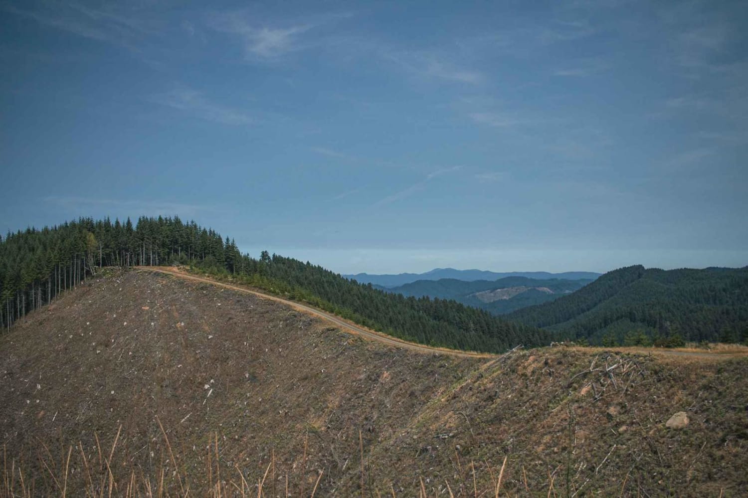
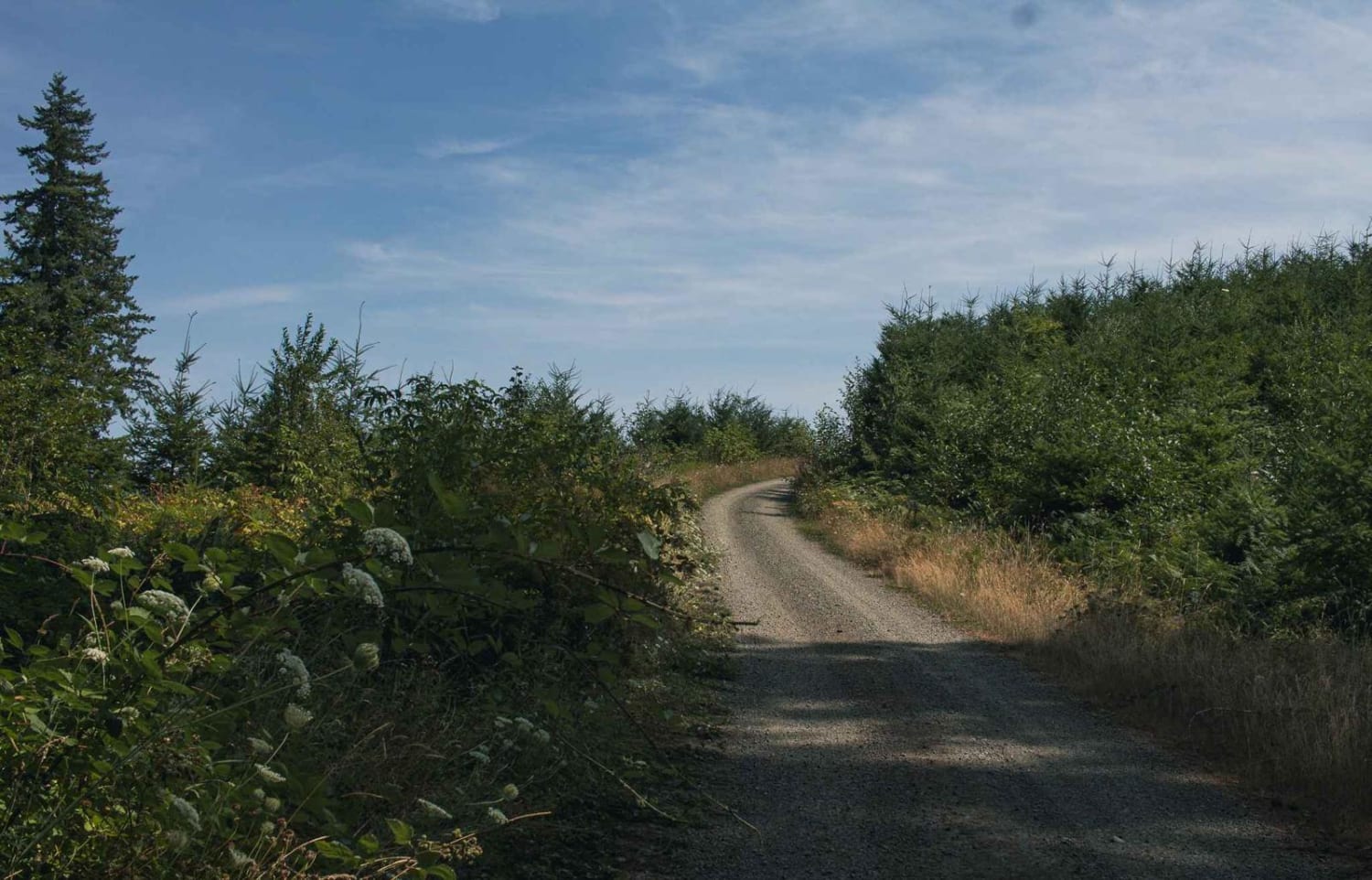
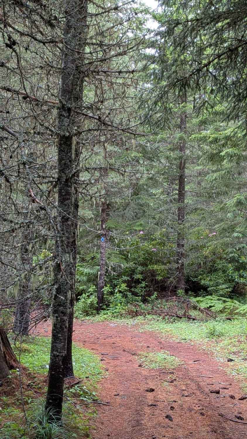
Bull Run is a loose gravel road that runs through the Siuslaw National Forest, most of the road is surrounded by thick trees. At the very top, the road becomes steep where logging is done. The trees have been cleared up there, offering a large open view and on a clear day, there is a beautiful viewing of rolling mountain tops for miles. The road does end at a large white gate that enters Weyerhaeuser's private property. Access to a hiking and biking trail called the C2C aka (The Corvallis to the Sea) Hiking Trail. This 60-mile-long trail connects the Heart of the Willamette Valley with the Central Oregon Coast.
Photos of Bull Run
Difficulty
typically unmaintained after rain or snow
Status Reports
Bull Run can be accessed by the following ride types:
- High-Clearance 4x4
- SUV
- SxS (60")
- ATV (50")
- Dirt Bike
Bull Run Map
Popular Trails

Carlson Creek Road
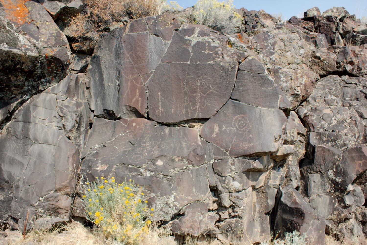
Hart Mountain Antelope Refuge
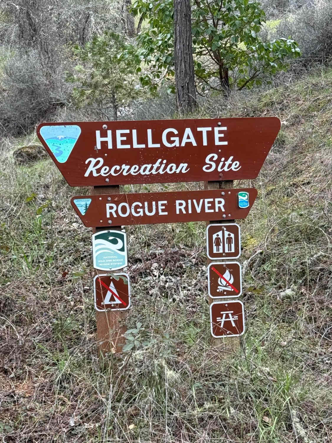
Hellgate Recreation Site
The onX Offroad Difference
onX Offroad combines trail photos, descriptions, difficulty ratings, width restrictions, seasonality, and more in a user-friendly interface. Available on all devices, with offline access and full compatibility with CarPlay and Android Auto. Discover what you’re missing today!
