Cache Mountain - NF 2067900
Total Miles
3.7
Technical Rating
Best Time
Summer, Fall
Trail Type
Full-Width Road
Accessible By
Trail Overview
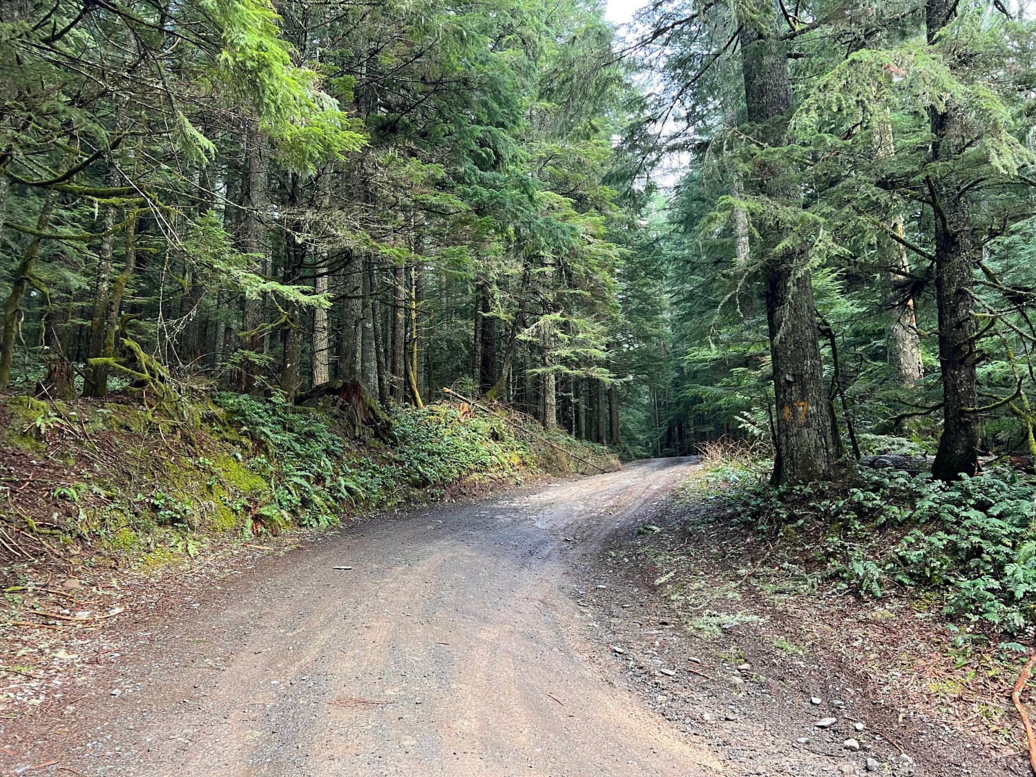
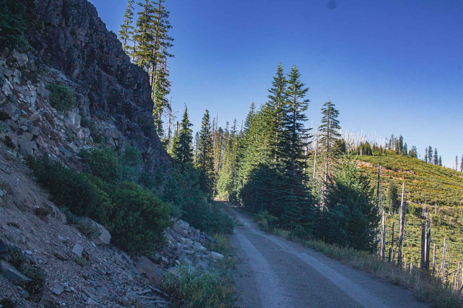
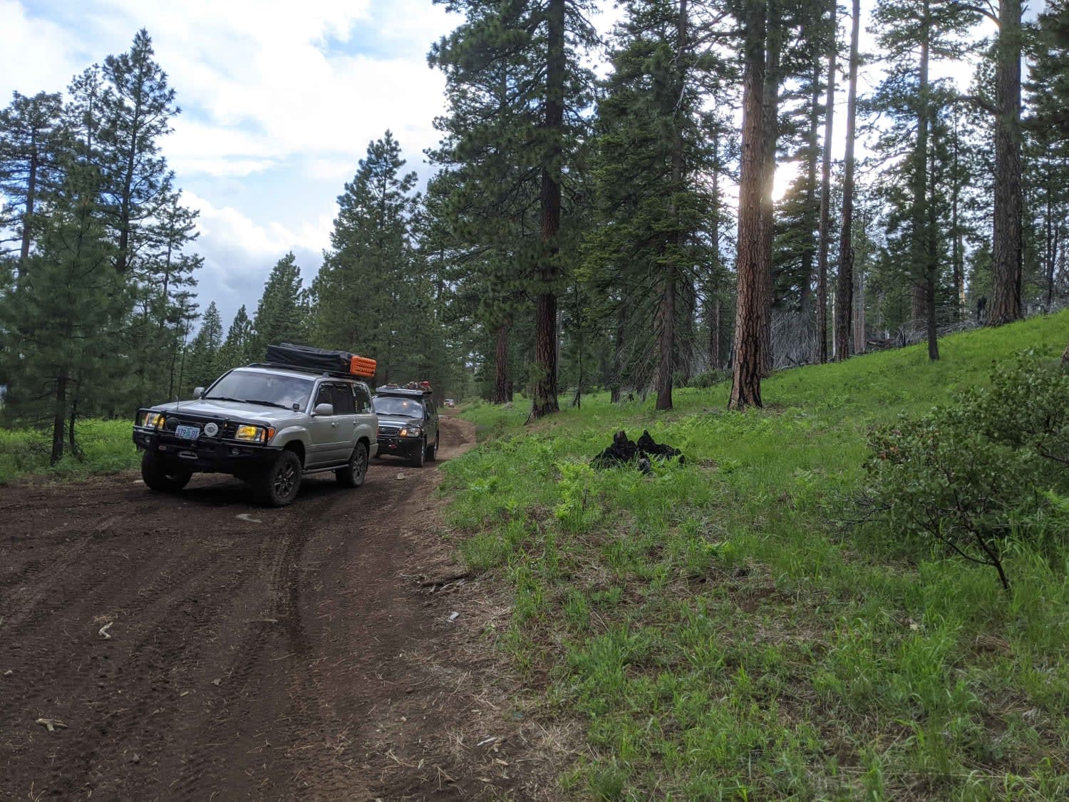
Tight Forest Service road that leads from the Old Santiam Wagon Road up to the summit of Cache Mountain at 5800'. Many of the roads in this area are overgrown with manzanita bushes that will scratch and pinstripe larger vehicles. Once it gets tight, do not venture further if you value your paint. The views of the surrounding peaks from the summit of Cache Mountain are beautiful. There is only room for a small group at the summit and very few options to turn around as you make your way up. If you see that the summit is occupied, turn back.
Photos of Cache Mountain - NF 2067900
Difficulty
tight trail
Popular Trails

Green Mountain Gravel Pits

Rolling Grounds

Millican Plateau Trail 84

Shotgun to McGowan - Mainline
The onX Offroad Difference
onX Offroad combines trail photos, descriptions, difficulty ratings, width restrictions, seasonality, and more in a user-friendly interface. Available on all devices, with offline access and full compatibility with CarPlay and Android Auto. Discover what you’re missing today!


