Calf Ridge
Total Miles
13.7
Technical Rating
Best Time
Spring, Summer, Fall
Trail Type
Full-Width Road
Accessible By
Trail Overview
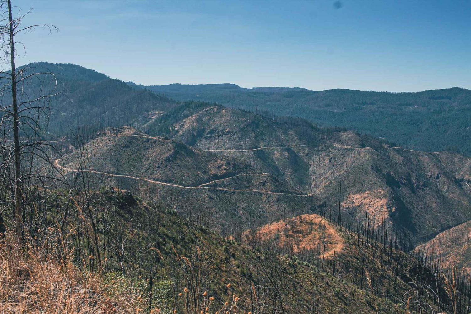
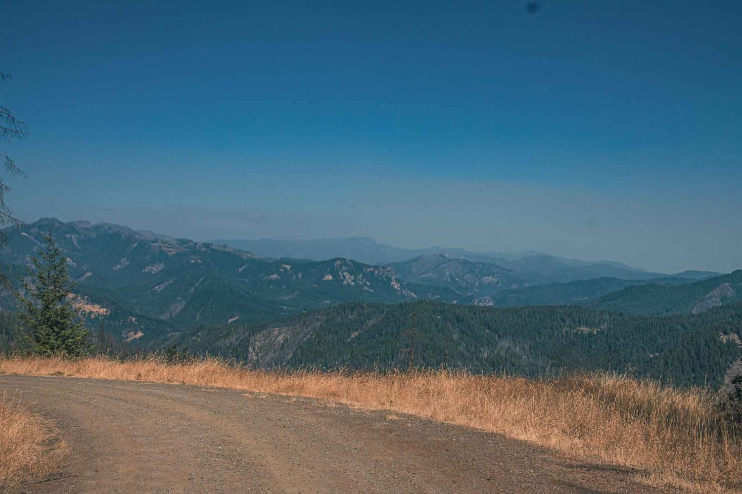
Calf Ridge road number 4720 is an easy gravel road that runs through the Umpqua National Forest. There are plenty of beautiful views to enjoy on this route, it is in a burned area so be mindful of rocks and falling debris, but don't like that take away from the stunning views. You will find Horseshoe Bend Campground, which is situated in a stand of old-growth Douglas fir, sugar pine, and deciduous trees, on the banks of the Wild & Scenic North Umpqua River.
Photos of Calf Ridge
Difficulty
typically unmaintained after rain or snow
Status Reports
Calf Ridge can be accessed by the following ride types:
- High-Clearance 4x4
- SUV
- SxS (60")
- ATV (50")
- Dirt Bike
Calf Ridge Map
Popular Trails
Coal Creek 2133
Antelope Crossing
Rock Creek - 4811
Page Mountain
The onX Offroad Difference
onX Offroad combines trail photos, descriptions, difficulty ratings, width restrictions, seasonality, and more in a user-friendly interface. Available on all devices, with offline access and full compatibility with CarPlay and Android Auto. Discover what you’re missing today!
