Cinnamon Butte Road
Total Miles
3.1
Technical Rating
Best Time
Summer
Trail Type
Full-Width Road
Accessible By
Trail Overview
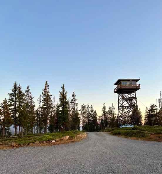
The journey begins just west of Diamond Lake, where the trail starts as a well-maintained gravel path before transitioning to a natural dirt trail. This marks the beginning of a steep, off-camber ascent to the butte. Accessibility is straightforward during the dry season, but rainfall can render the summit climb quite difficult. The butte's peak, at an elevation of 6,417 feet, is 3 miles from the start. A 41-foot fire lookout tower, constructed in 1955 and relocated to this spot in 1976 (having originally been on Buster Butte near Oakridge), stands at the summit. This treated-timber, flat-roofed lookout offers a magnificent view on clear days, encompassing Mount Thielsen to the south, Sawtooth Ridge to the southeast, Lemolo Lake, and the North Umpqua Wild and Scenic River Canyon to the northwest.
Photos of Cinnamon Butte Road

Difficulty
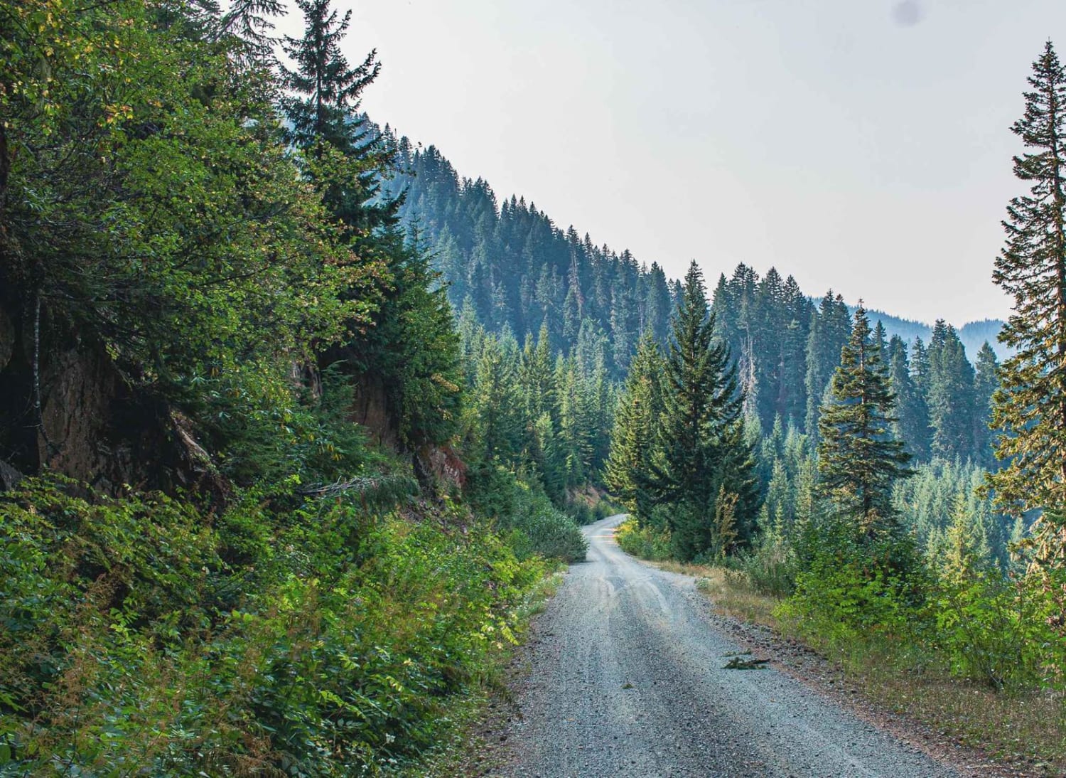
The trail begins as a well-maintained gravel road and then transitions into natural dirt as you start the steep off-camber climb to the butte. The route is easily accessible during the dry season. However, any rain could make the climb to the summit challenging.
Status Reports
Cinnamon Butte Road can be accessed by the following ride types:
- High-Clearance 4x4
- SUV
Cinnamon Butte Road Map
Popular Trails
Grass Creek - Fairview

Green Butte Summit
Horn Creek 2257

#78 (Extreme)
The onX Offroad Difference
onX Offroad combines trail photos, descriptions, difficulty ratings, width restrictions, seasonality, and more in a user-friendly interface. Available on all devices, with offline access and full compatibility with CarPlay and Android Auto. Discover what you’re missing today!