Edison #34-4-2
Total Miles
6.0
Technical Rating
Best Time
Summer, Fall
Trail Type
High-Clearance 4x4 Trail
Accessible By
Trail Overview
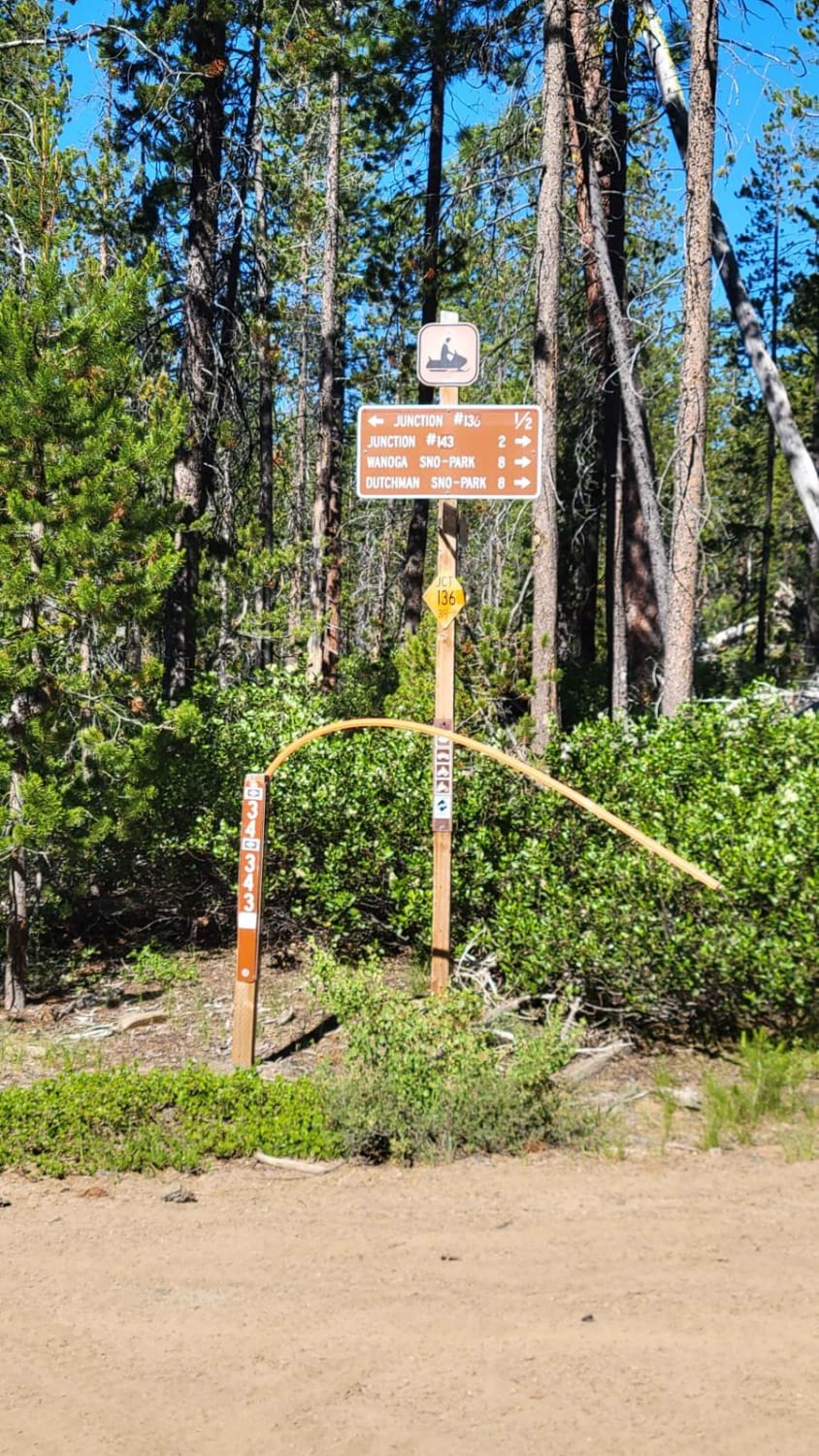
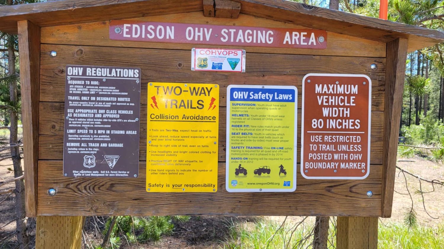
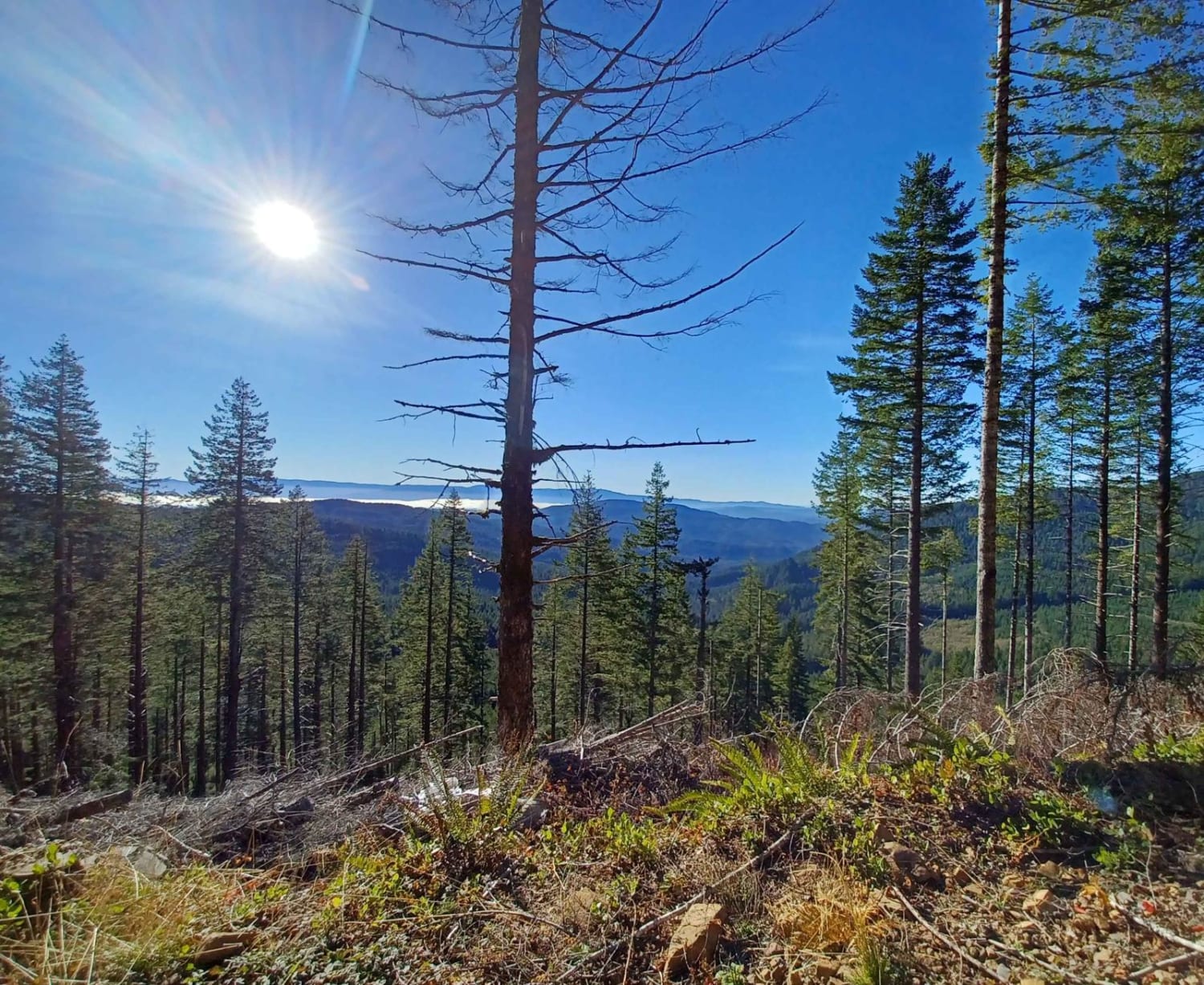
This is an advanced, slow-going trail in the Edison Butte OHV Trail System. Sharp lava rock, large rock obstacles/gardens, off-camber sections, and several steep climbs will be encountered. Airing down, 4L, and high clearance are highly recommended. When mapped in mid-July, the trail eventually became impassable due to snow. Downed trees are likely in the early season of running this trail. Higher up trail, there was a placard stating "Class II vehicles only" - no SXS, ATVs, or dirt bikes beyond. Signs at the entrance state, "Maximum vehicle width 80 inches", and "Trails are two-way". Please be respectful of all OHV area rules and regulations.
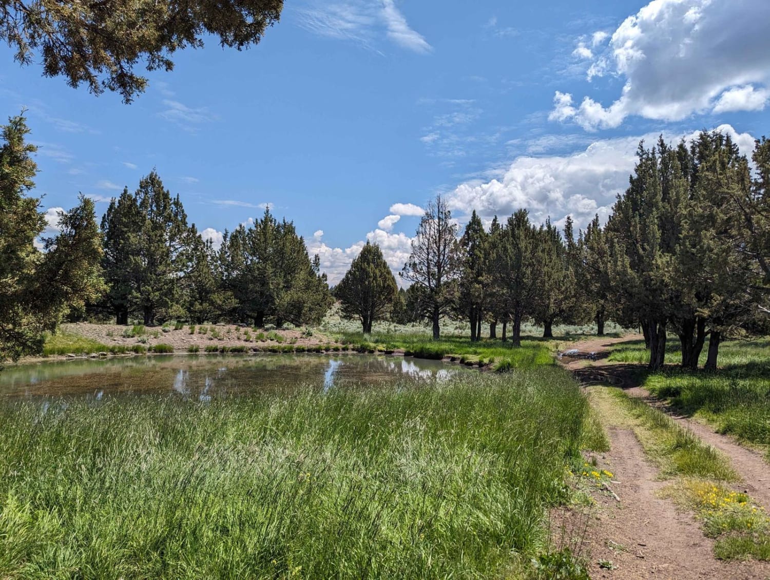
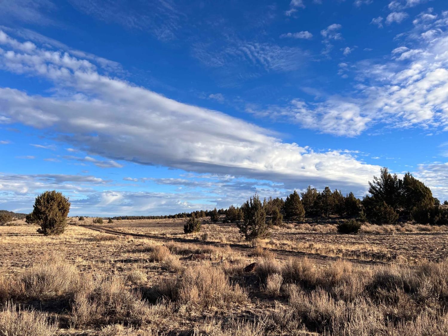
Photos of Edison #34-4-2
Difficulty
Very rocky, rutted and off-camber trail with erosion, loose rocks, sand, washes and obstacles up to 3 feet tall, including ledges and short, steep grades.
Status Reports
Edison #34-4-2 can be accessed by the following ride types:
- High-Clearance 4x4
- SxS (60")
- ATV (50")
- Dirt Bike
Edison #34-4-2 Map
Popular Trails
Moon Hill to Dust Bowl Road

Smith Flat Huffman Camp
The onX Offroad Difference
onX Offroad combines trail photos, descriptions, difficulty ratings, width restrictions, seasonality, and more in a user-friendly interface. Available on all devices, with offline access and full compatibility with CarPlay and Android Auto. Discover what you’re missing today!