Gobblers Knob
Total Miles
21.0
Technical Rating
Best Time
Spring, Summer, Fall
Trail Type
Full-Width Road
Accessible By
Trail Overview
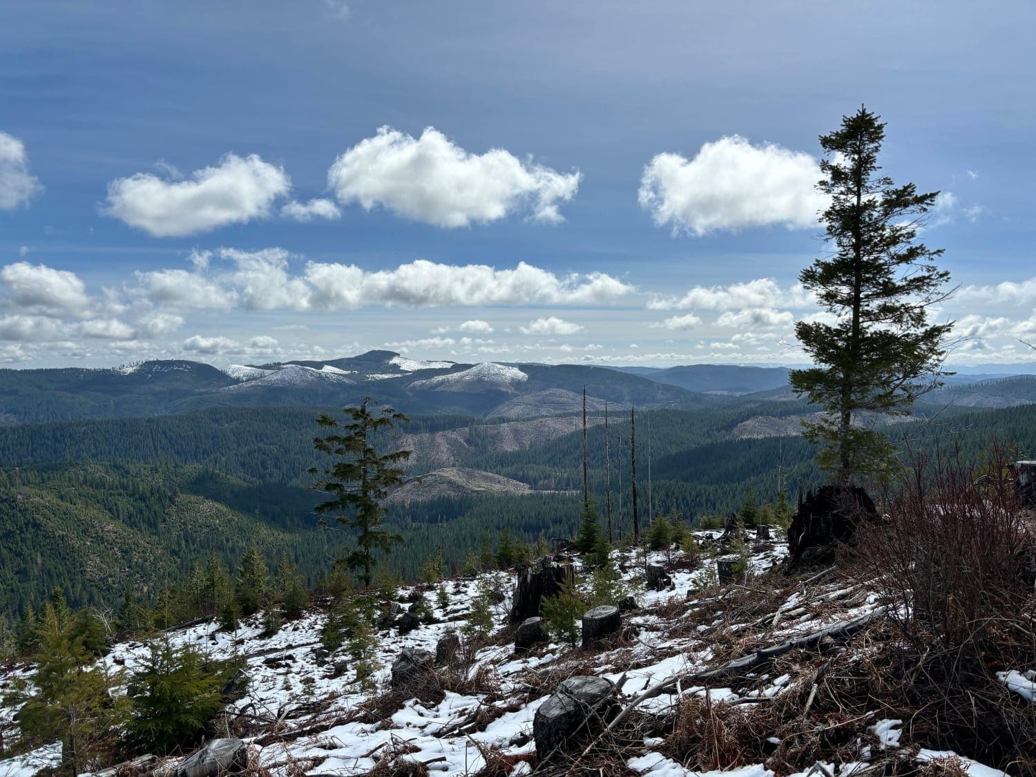
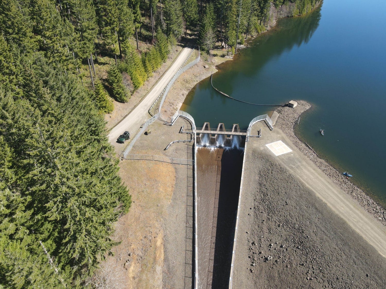
Gobblers Knob is a 3,054-foot hill in the Tillamook State Forest south of the North Fork Trask River. It offers a spectacular view of the surrounding forest and mountains, especially to the south. The trail is not difficult aside from the final climb to the summit. Of course, weather conditions will vary the trail conditions. Start at the spillway for the Barney Reservoir and head north, then west, and after crossing the North Fork Trask River, back to the east. There will be several intersections along the way. While it may only take a few hours to complete, be sure to factor in several more hours to take in the scenery along the way. There are potential stops alongside the North Fork Trask River and as you climb up to Gobblers Knob. In the spring, there will likely be many waterfalls from the spring runoff. The road surface is typically gravel and potholes. There is a gate at the junction of the North Fork North Fork Trask River (this is not a made-up name) and the North Fork Trask River that can be closed during fire season. As mentioned, the final climb to the summit of Gobblers Knob is probably the most difficult section, as there is loose gravel and potentially streaming water. It's steep and may be a challenge for some vehicles.
Photos of Gobblers Knob
Difficulty
The vast majority of the trail is easy gravel road with occasional potholes. The final climb to the summit is steep with loose gravel and the most difficult section.
Status Reports
Gobblers Knob can be accessed by the following ride types:
- High-Clearance 4x4
- SUV
Gobblers Knob Map
Popular Trails

#41E (Moderate)
Jordan Creek #84 (Part 3)
Sisters Campsite Road
Fugawe Loop
The onX Offroad Difference
onX Offroad combines trail photos, descriptions, difficulty ratings, width restrictions, seasonality, and more in a user-friendly interface. Available on all devices, with offline access and full compatibility with CarPlay and Android Auto. Discover what you’re missing today!
