High Rock
Total Miles
0.5
Technical Rating
Best Time
Summer, Fall, Spring
Trail Type
Full-Width Road
Accessible By
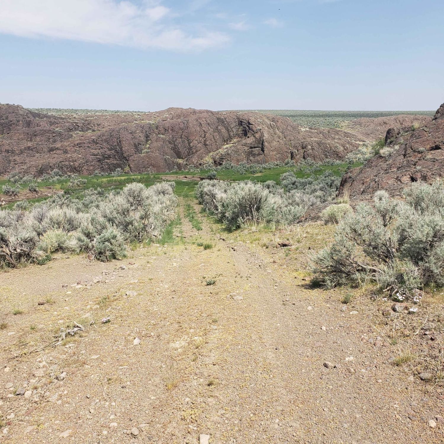
Trail Overview
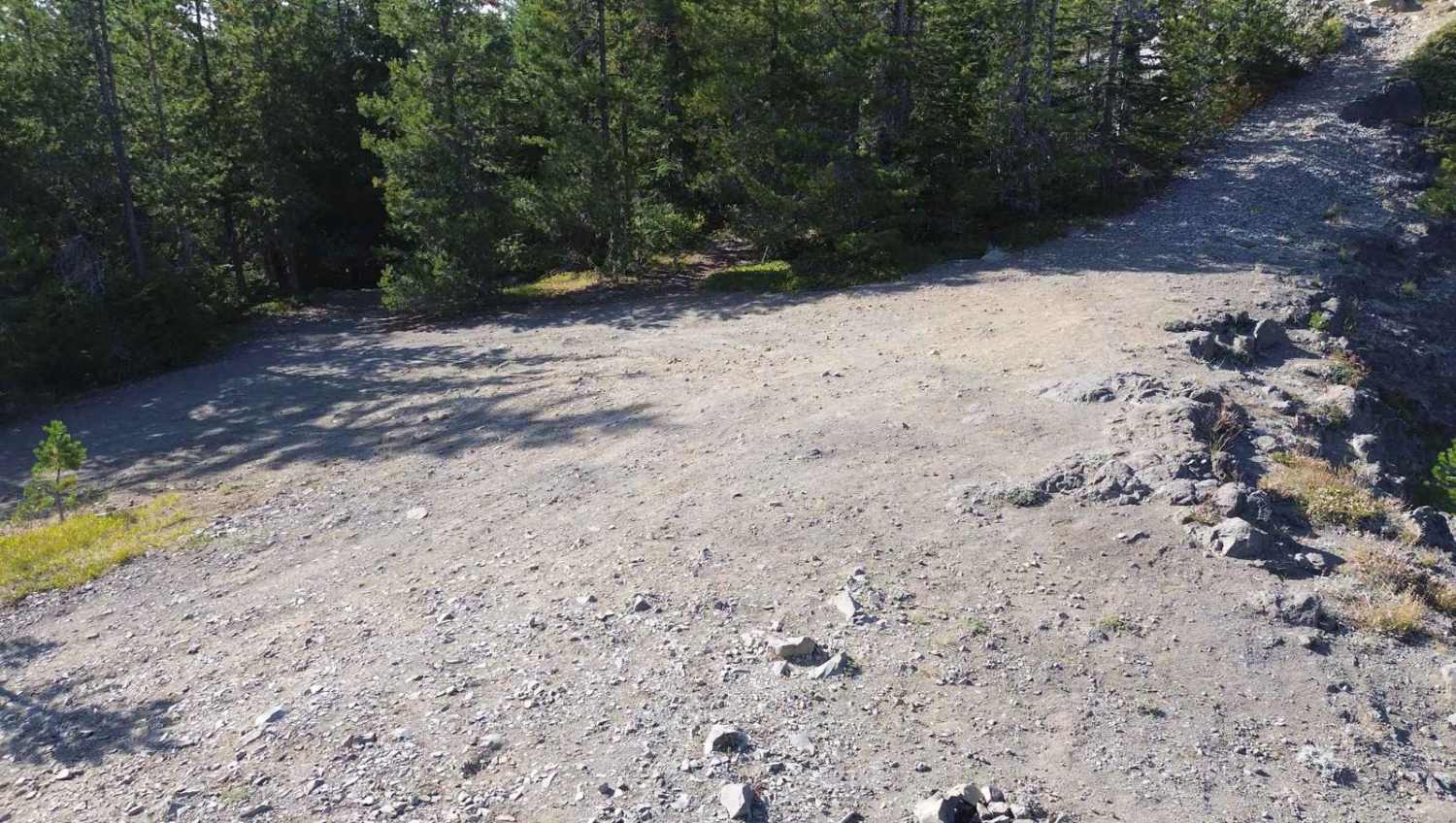
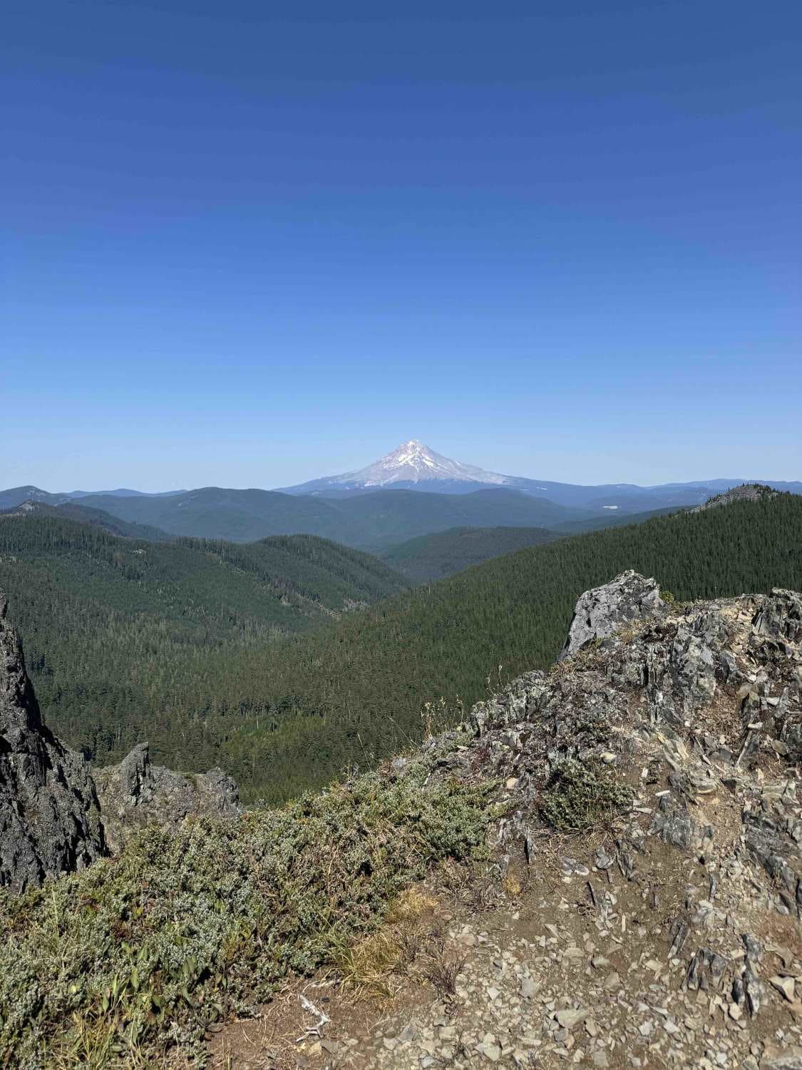
This is a short offshoot trail from FR-58 that offers spectacular 360-degree views of Mt. Hood, Mt. Jefferson, and more, depending on visibility. As soon as you turn off FR-58, you'll see a stunning view of Mount Hood. It's only about a 20-minute hike from the bottom if you are unsure whether your vehicle can manage the narrow, rutted, off-camber, and rocky trail. Once you reach the end of the drivable portion, there is a large turnaround and a walking trail to the top of High Rock.
Photos of High Rock
Difficulty
This trail should not be attempted in anything less capable than a full-size 4x4. The beginning is heavily rutted with one off-camber section. On the switchback up to the viewpoint there are medium-sized rocks jutting sharply out of the ground, take care here to not damage the underside of your vehicle.
Status Reports
High Rock can be accessed by the following ride types:
- High-Clearance 4x4
- SUV
High Rock Map
Popular Trails
Pine Mountain Observatory Back Road

National Forest Development Road 4660
Scenic Loop To Leslie Gulch Cutoff
The onX Offroad Difference
onX Offroad combines trail photos, descriptions, difficulty ratings, width restrictions, seasonality, and more in a user-friendly interface. Available on all devices, with offline access and full compatibility with CarPlay and Android Auto. Discover what you’re missing today!