Horse Creek Road
Total Miles
9.4
Technical Rating
Best Time
Spring, Summer, Fall
Trail Type
Full-Width Road
Accessible By
Trail Overview
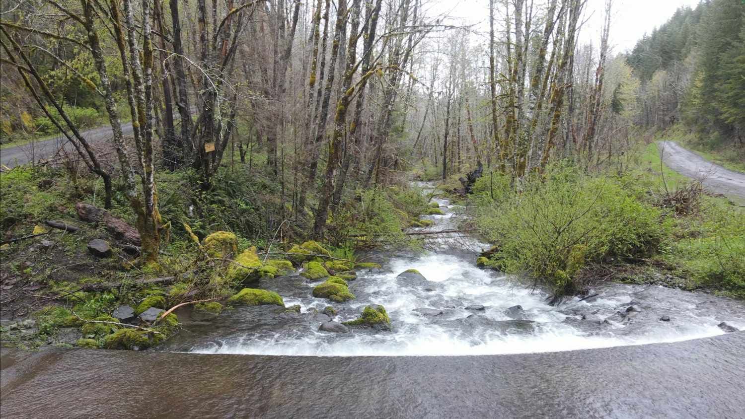
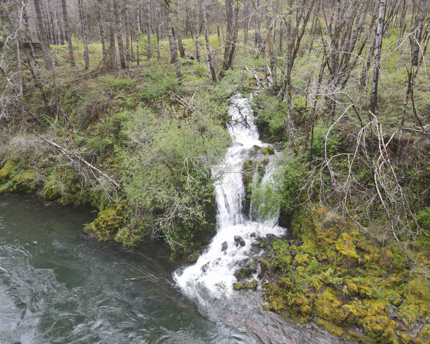
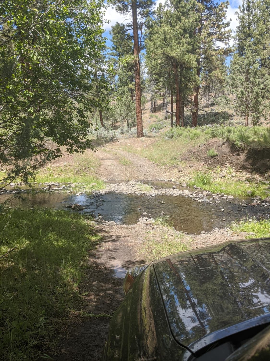
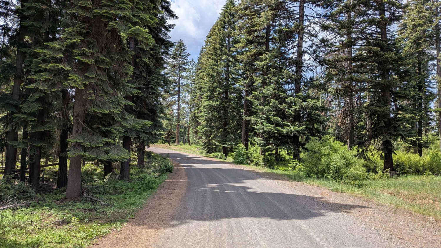
Horse Creek Road connects the Santiam State Forest entrance area with the Molalla River. It starts on South Family Camp Road and goes to the South Fork Molalla River Road. The Santiam State Forest may be closed because of forest fire damage. Horse Creek Road crosses several private properties, so closed gates are a possibility. A majority of the road is on BLM land. There are several creeks that the road crosses, including Horse Creek and Gawley Creek. When overflowing, Gawley Creek crosses over the road, so be aware of creek levels and the fording capabilities of your vehicle. There are many falls alongside the road, so be sure to look out for them, especially in the S]spring or after rain.
Photos of Horse Creek Road
Difficulty
When overflowing, Gawley Creek actually crosses over the road, so be aware of creek levels and the fording capabilities of your vehicle. Otherwise, the road is fairly smooth, although some sections may be rough.
Status Reports
Horse Creek Road can be accessed by the following ride types:
- High-Clearance 4x4
- SUV
Horse Creek Road Map
Popular Trails

Paulina Valley Rd / 4200 / 4250 / 1200
Wellamockin Road North NF46

Cramlets Cliff #67
The onX Offroad Difference
onX Offroad combines trail photos, descriptions, difficulty ratings, width restrictions, seasonality, and more in a user-friendly interface. Available on all devices, with offline access and full compatibility with CarPlay and Android Auto. Discover what you’re missing today!