Jones Creek Road
Total Miles
2.8
Technical Rating
Best Time
Spring, Summer, Fall
Trail Type
Full-Width Road
Accessible By
Trail Overview
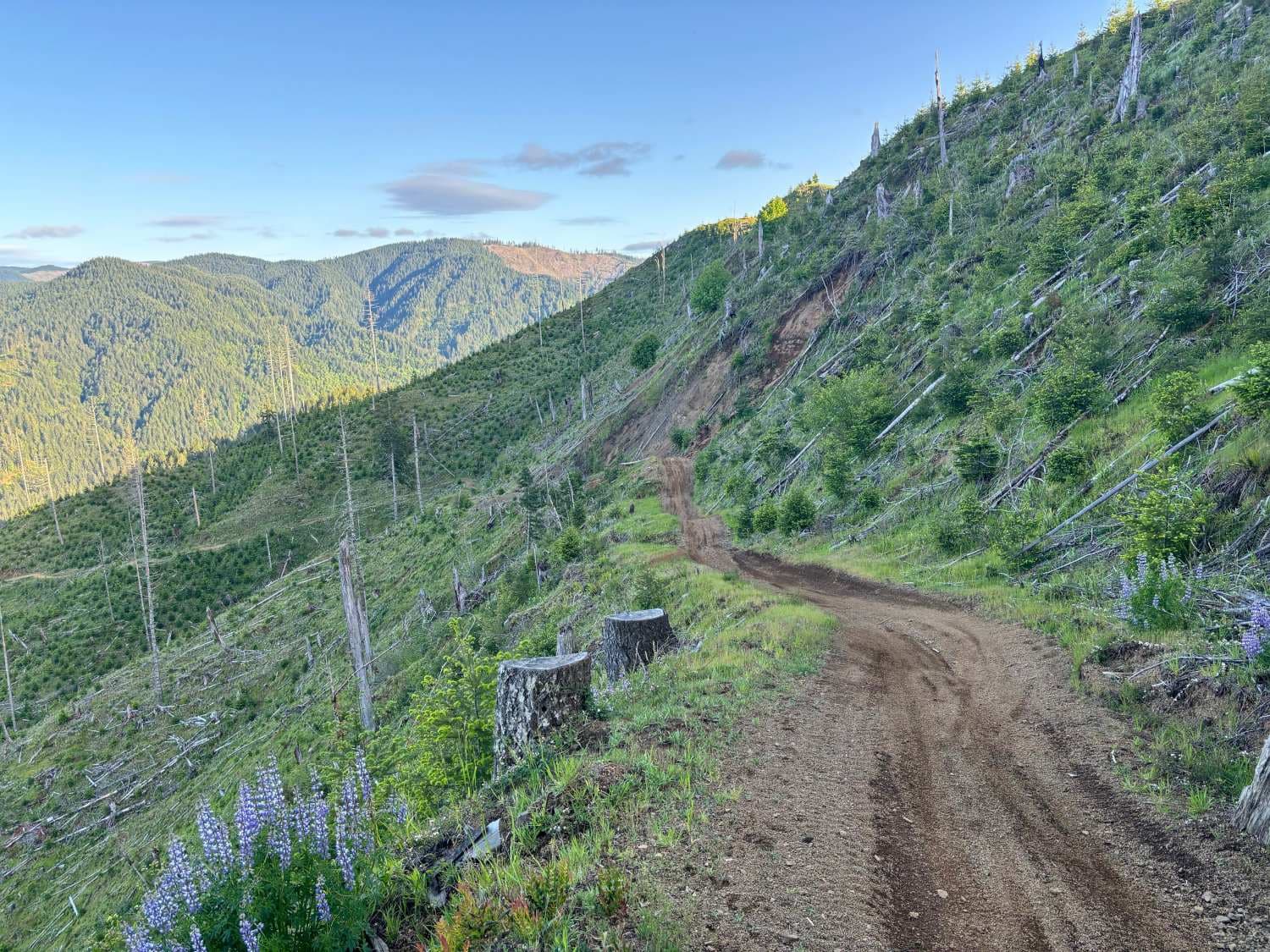
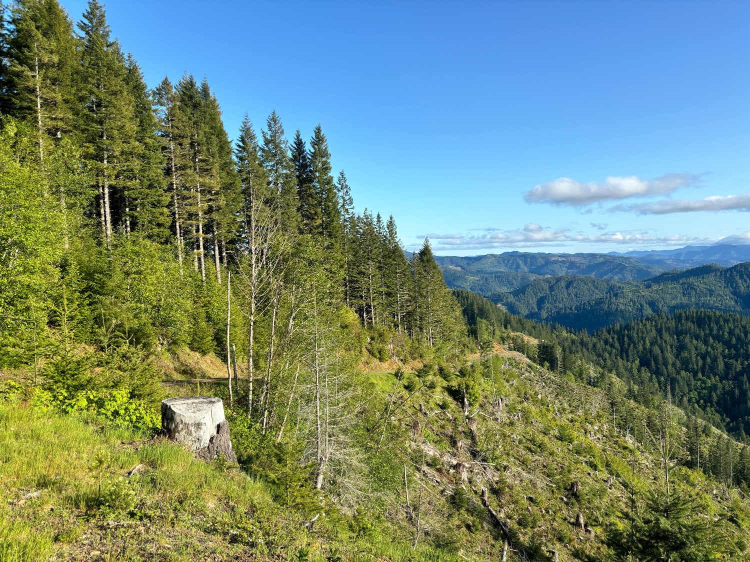
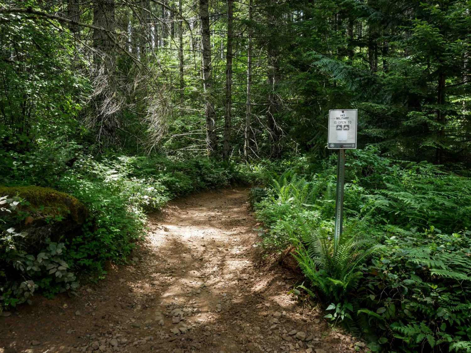
From the Cook Creek Road Trail (also known as Diamond Mill Road), turn onto Jones Creek Road. There is no signage. Approximately 1.3 miles down Jones Creek Road there will be an intersection; if you take the right, it will bring you along the ridge and a dead end for 4x4s (there may be single-track options off the ridge). To the left is a gatekeeper and a trail sign. This will take you down the side of the ridge. The trail is narrow and the upper (north end) is steep with berms (high clearance required). At the bottom of the ridge, the trail opens slightly and is less challenging. The trail can be taken from either end (north from Diamond Mill Road/Cook Creek Road Trail) or from the south near the Jones Creek Campground.
Photos of Jones Creek Road
Difficulty
The upper part of the trail along the ridge is steep and narrow with severe drop-offs. The trail was mapped going from north to south down slope; the difficulty going the opposite direction may vary.
Jones Creek Road can be accessed by the following ride types:
- High-Clearance 4x4
- SUV
- SxS (60")
- ATV (50")
- Dirt Bike
Jones Creek Road Map
Popular Trails
The onX Offroad Difference
onX Offroad combines trail photos, descriptions, difficulty ratings, width restrictions, seasonality, and more in a user-friendly interface. Available on all devices, with offline access and full compatibility with CarPlay and Android Auto. Discover what you’re missing today!


