Lower McKay Creek Road to West Fork Mill Creek Road
Total Miles
10.1
Technical Rating
Best Time
Spring, Summer, Fall
Trail Type
Full-Width Road
Accessible By
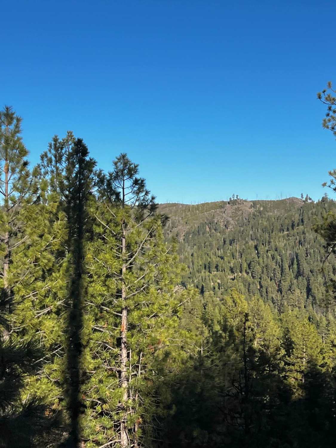
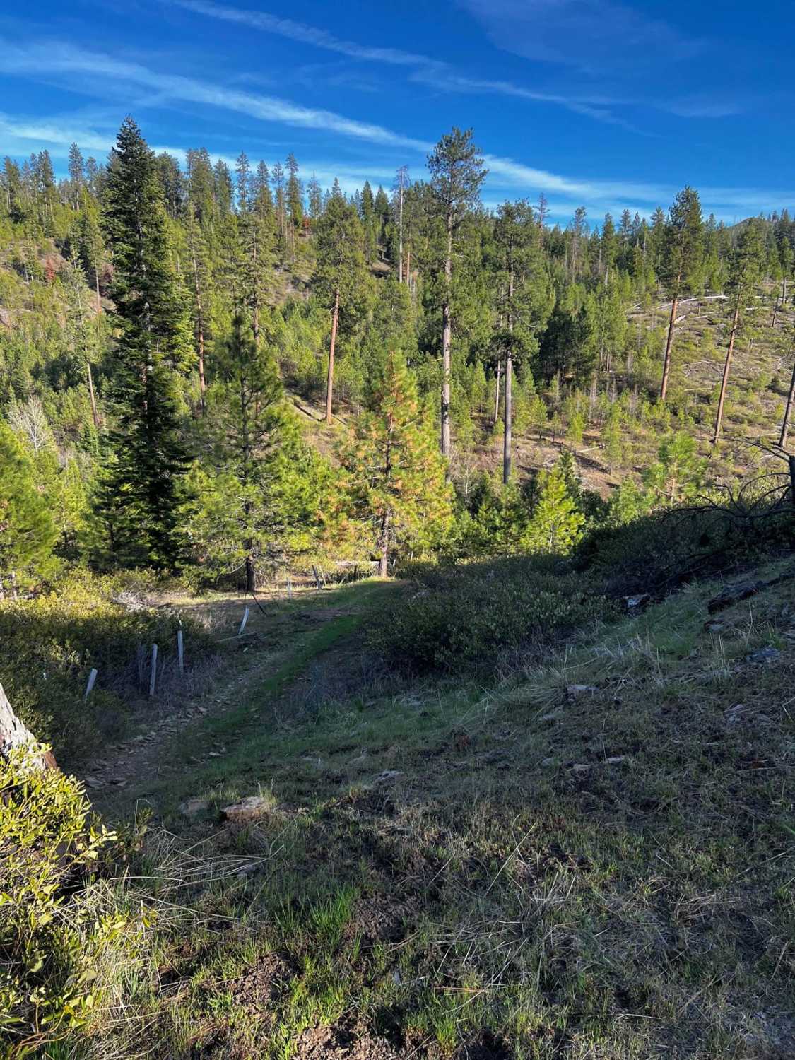
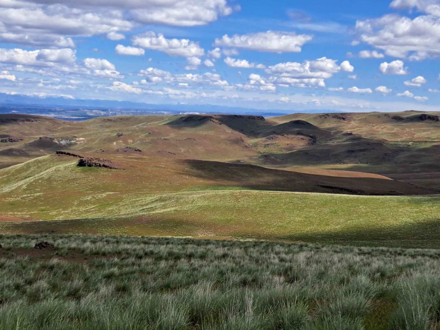
Trail Overview
This route winds through the Ochoco National Forest and is composed mainly of Forest Service roads that are washboarded and rutted. About halfway through the route, you will be following along a creek with downed trees and fallen rocks. With four creek crossings, this is a beautiful route to drive.
Photos of Lower McKay Creek Road to West Fork Mill Creek Road
Difficulty
Just remember to drive slow and keep an eye on the road.
Status Reports
Lower McKay Creek Road to West Fork Mill Creek Road can be accessed by the following ride types:
- High-Clearance 4x4
- SUV
- SxS (60")
- ATV (50")
- Dirt Bike
Lower McKay Creek Road to West Fork Mill Creek Road Map
Popular Trails
Graveyard Rim Trail


Bob Straub Beach Trail

The onX Offroad Difference
onX Offroad combines trail photos, descriptions, difficulty ratings, width restrictions, seasonality, and more in a user-friendly interface. Available on all devices, with offline access and full compatibility with CarPlay and Android Auto. Discover what you’re missing today!