Lower Nehalem Road Beach Route
Total Miles
11.1
Technical Rating
Best Time
Spring, Summer, Fall, Winter
Trail Type
Full-Width Road
Accessible By
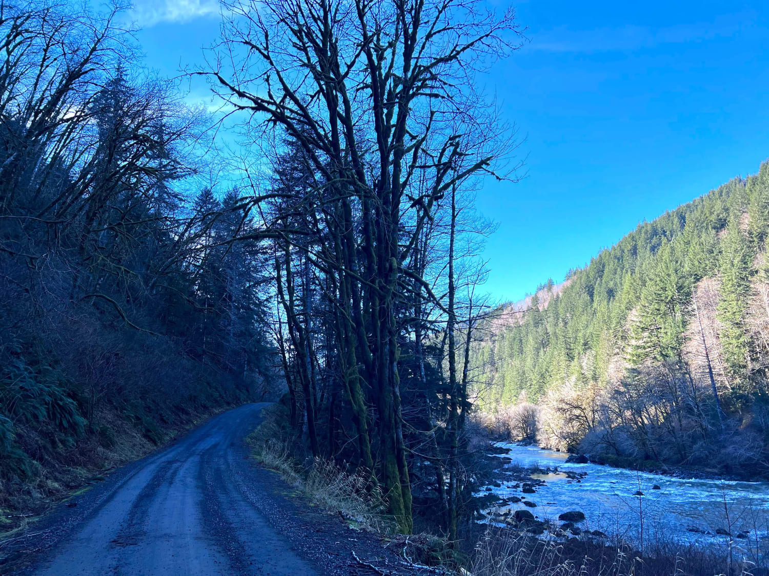
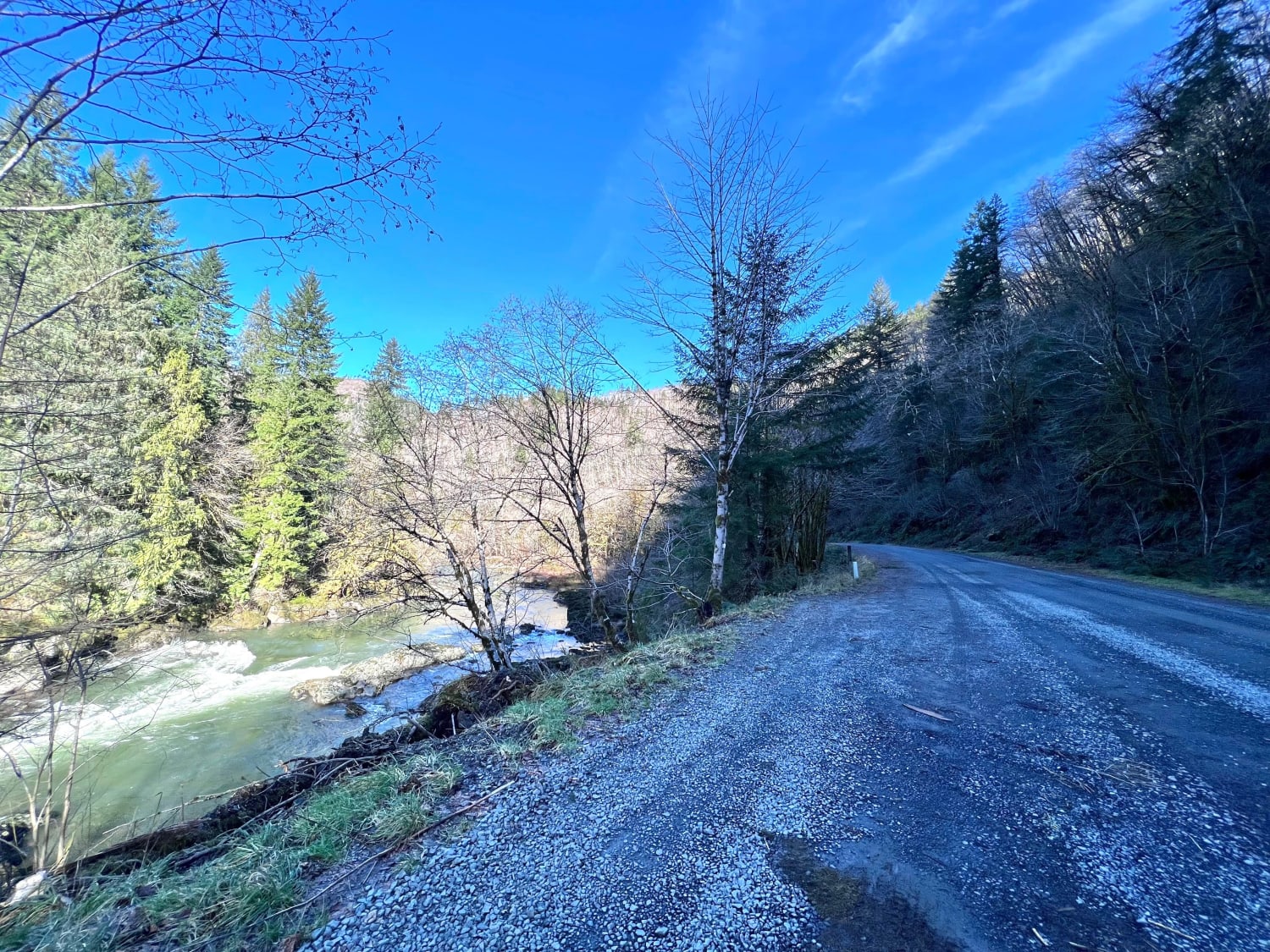
Trail Overview
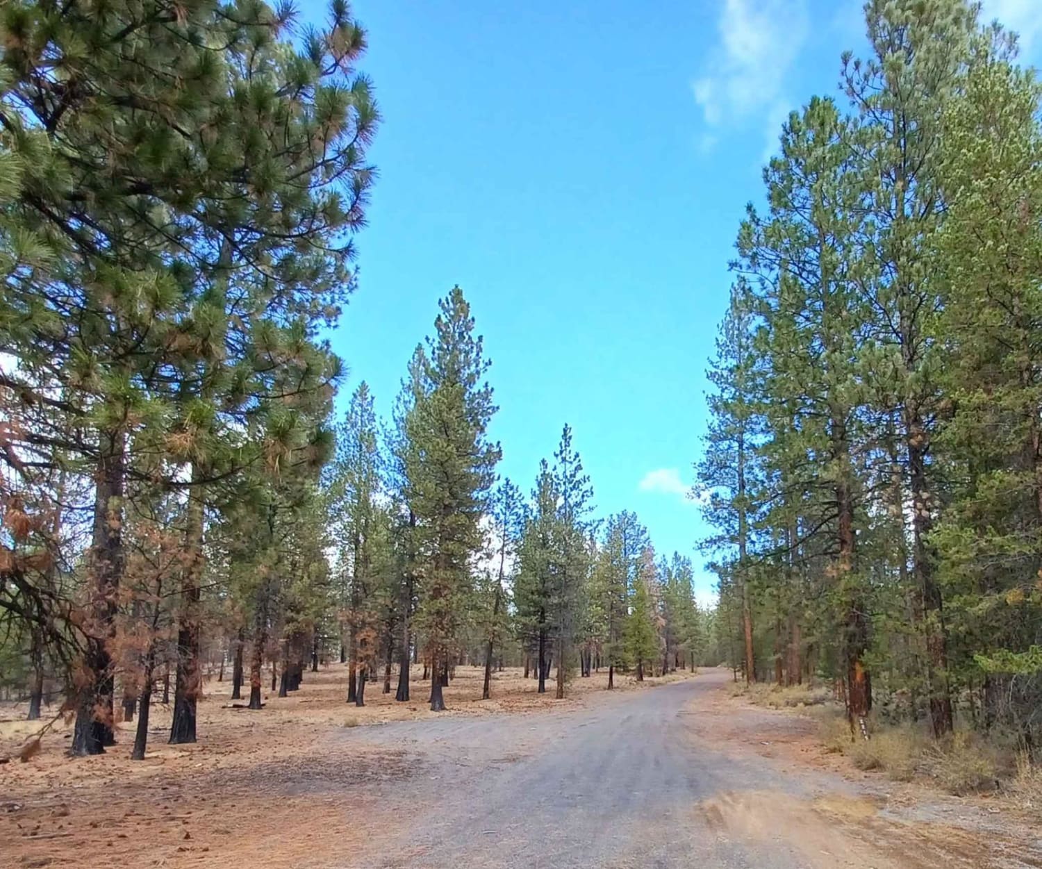
This route is a nice backcountry route that leads from HWY 26 towards Nehalem Bay. The first section of this road is paved and then turns into 11 miles of gravel. There are a couple of state-run campgrounds along the route, as well as many dispersed camping spots right along the river. It's a very scenic drive with the river flowing alongside and a few small waterfalls dropping from the cliff sides. During the right time of year, there are great fishing opportunities.
Photos of Lower Nehalem Road Beach Route
Difficulty
The road has many potholes and gets to single wide in a few areas. Most vehicles will make the road just fine as long it's taken slow.
Status Reports

Popular Trails
Gate Creek 5875565

Eastern Alvord Desert Plateau
Pipeline #2215
The onX Offroad Difference
onX Offroad combines trail photos, descriptions, difficulty ratings, width restrictions, seasonality, and more in a user-friendly interface. Available on all devices, with offline access and full compatibility with CarPlay and Android Auto. Discover what you’re missing today!