Lucky Butte Lakes
Total Miles
22.5
Technical Rating
Best Time
Summer, Spring, Fall
Trail Type
Full-Width Road
Accessible By
Trail Overview
Depending on your starting location, North or South, either end of this trail is an great place to start. There are plenty of campsites and day use areas to stage your group in or just relax before heading out on the trail. For the South to North route, starting at the Yellowbottom Campground and day use area is the easiest place to stage. The beginning few miles of the route is a single lane paved road with turnoffs for passing cars. There is also a few misleading turns on this route so be sure to follow the route closely until onto the dirt sections. Once the dirt begins most of the drive is smooth dirt roads with only potholes to avoid and mild washouts. The climb up NF-349 is steeper and has loose gravel and some deep ruts in sections, 4WD is strongly recommended for this section. This is also an optional portion of the trail so 2WD vehicles can skip but the views from the butte are unmatched. Along the way the terrain changes from lush ferns and deciduous to pine trees and rock fields at the peaks on Lucky Butte. There is one obstacle that can prevent lower clearance vehicles from completing the trail at the North end of the trail. One side of the single track trail is significantly sunken compared to the other for a 25ft distance so clearance and the ability for the vehicle to flex is necessary.
Photos of Lucky Butte Lakes
Difficulty
Only a few obstacles that fall into the 3 category but they are in places that make the trail impassable if the vehicle cannot handle them.
Status Reports
Lucky Butte Lakes can be accessed by the following ride types:
- High-Clearance 4x4
- SUV
Lucky Butte Lakes Map
Popular Trails

Onion Mountain, Shan Creek
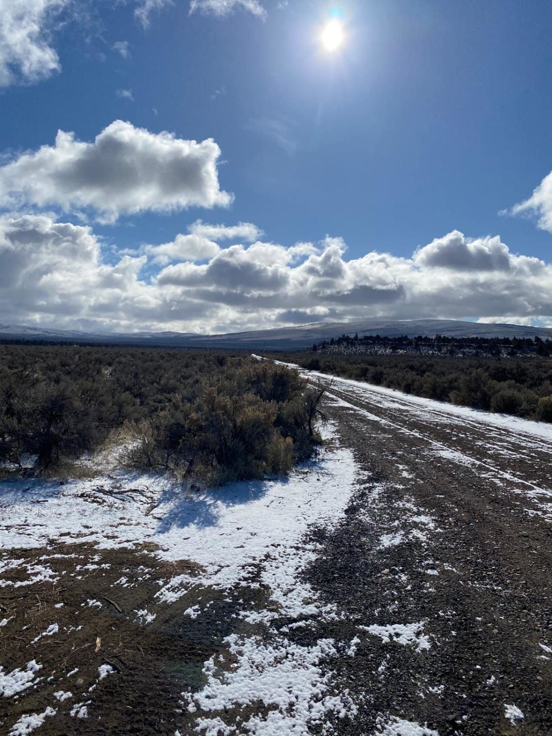
Cinder Butte Viewpoint
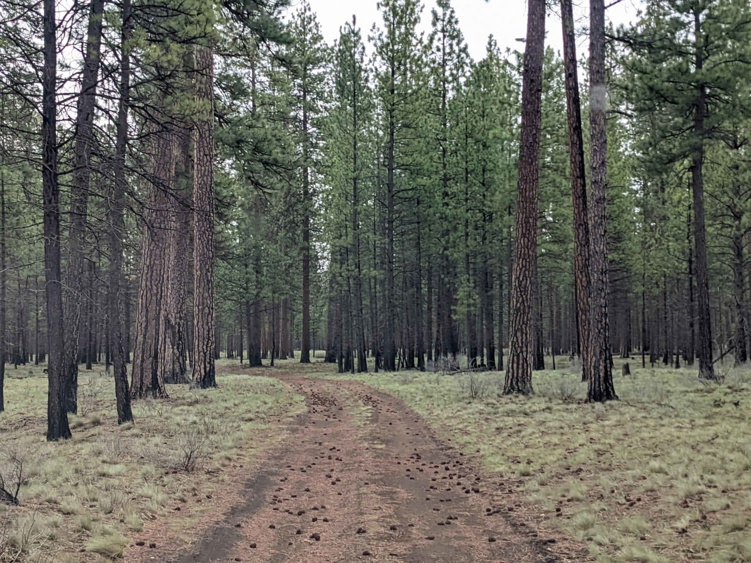
Black Butte Backdoor - NF1012-500
The onX Offroad Difference
onX Offroad combines trail photos, descriptions, difficulty ratings, width restrictions, seasonality, and more in a user-friendly interface. Available on all devices, with offline access and full compatibility with CarPlay and Android Auto. Discover what you’re missing today!
