Miller Canyon
Total Miles
9.1
Technical Rating
Best Time
Summer, Spring, Fall
Trail Type
Full-Width Road
Accessible By
Trail Overview
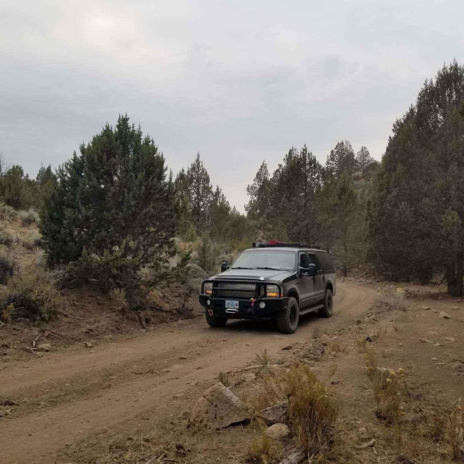
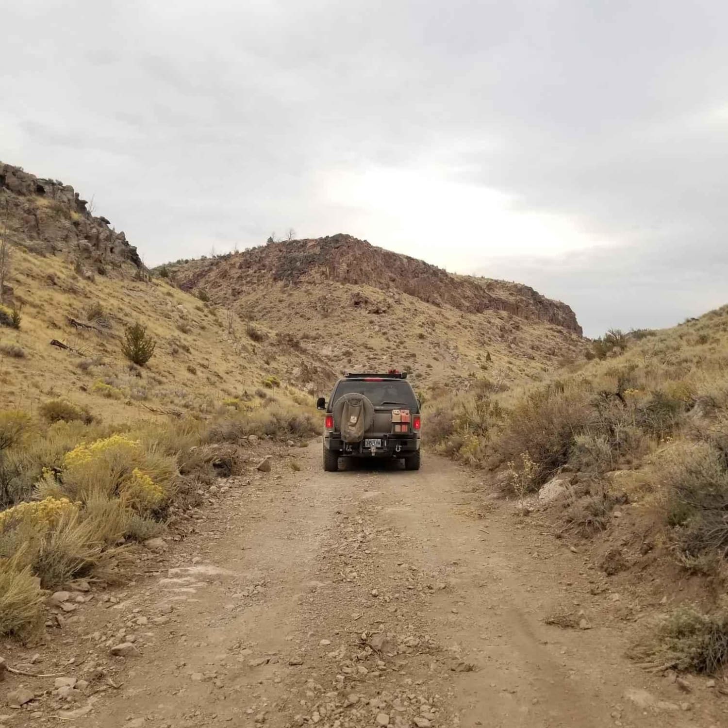
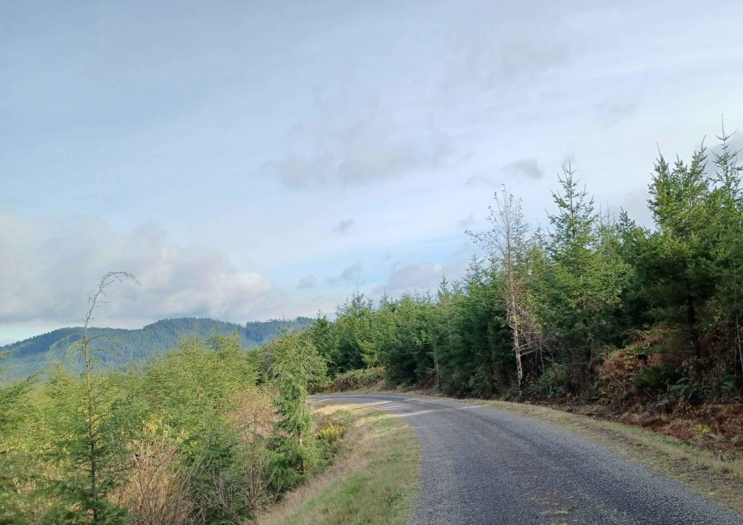
This trail is a unique way to access the Malheur National Forest near Riley, Oregon. The route follows Miller Canyon and has been used for around 100 years or more. There was a fire in this area and the landscape is still recovering from that. There are many side routes and interesting destinations in the area that can be found with a little exploration.
Photos of Miller Canyon
Difficulty
Mostly gravel but quite rough in steep areas and there are large rocks and other obstacles occasionally which can easily be avoided with careful driving.
Status Reports
Miller Canyon can be accessed by the following ride types:
- High-Clearance 4x4
- SUV
- SxS (60")
- ATV (50")
- Dirt Bike
Miller Canyon Map
Popular Trails
Domingo to Hart Mountain

Patterson Mountain
Fugawe Loop
The onX Offroad Difference
onX Offroad combines trail photos, descriptions, difficulty ratings, width restrictions, seasonality, and more in a user-friendly interface. Available on all devices, with offline access and full compatibility with CarPlay and Android Auto. Discover what you’re missing today!
