Owyhee River Trail
Total Miles
5.1
Technical Rating
Best Time
Fall
Trail Type
Full-Width Road
Accessible By
Trail Overview
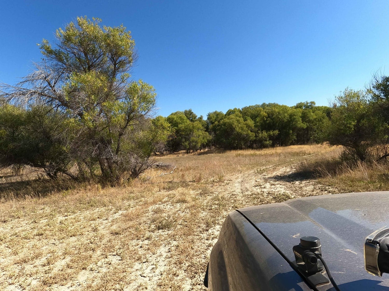
The Owyhee River Trail follows Watson Road for the portion along the West Bank of the Owyhee River from the South end of the Owyhee Reservoir to a historic ranch. There is an old washout out at 43.272697, -117.488411 and the two track is reduced to less than 50". 4WD vehicles cannot pass this point. Fording the river to continue South is illegal as the Owhyee River has a Wild and Scenic River designation along this section. This is part of a long and very remote route that accesses the backcountry and numerous Wilderness Study Areas along the West side of the Owyhee Reservoir and Owyhee Canyonlands. There is very little traffic out here. Bring extra fuel, water, and spare tires. There is a high silica content in the dirt in this region. When dry, it's fine talc dust that gets everywhere and in everything. When wet, it becomes a slippery mess and dries hard on your vehicle like concrete. Be prepared to hike out if traveling in this area during the wet season.
Photos of Owyhee River Trail

Difficulty
Easy dirt road with 2-4 river fords depending on route.
Status Reports
Owyhee River Trail can be accessed by the following ride types:
- High-Clearance 4x4
- SUV
- SxS (60")
- ATV (50")
- Dirt Bike
Owyhee River Trail Map
Popular Trails
Doe Head Mountain

The onX Offroad Difference
onX Offroad combines trail photos, descriptions, difficulty ratings, width restrictions, seasonality, and more in a user-friendly interface. Available on all devices, with offline access and full compatibility with CarPlay and Android Auto. Discover what you’re missing today!