Pittsburg Road
Total Miles
10.2
Elevation
535.14 ft
Duration
2 Hours
Technical Rating
Best Time
Spring, Summer, Fall, Winter
Trail Overview
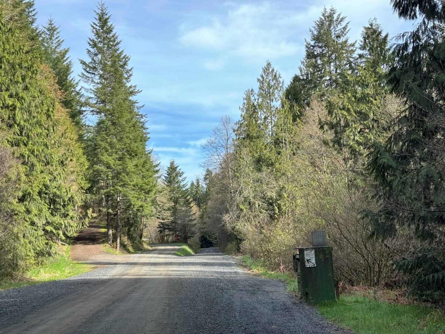
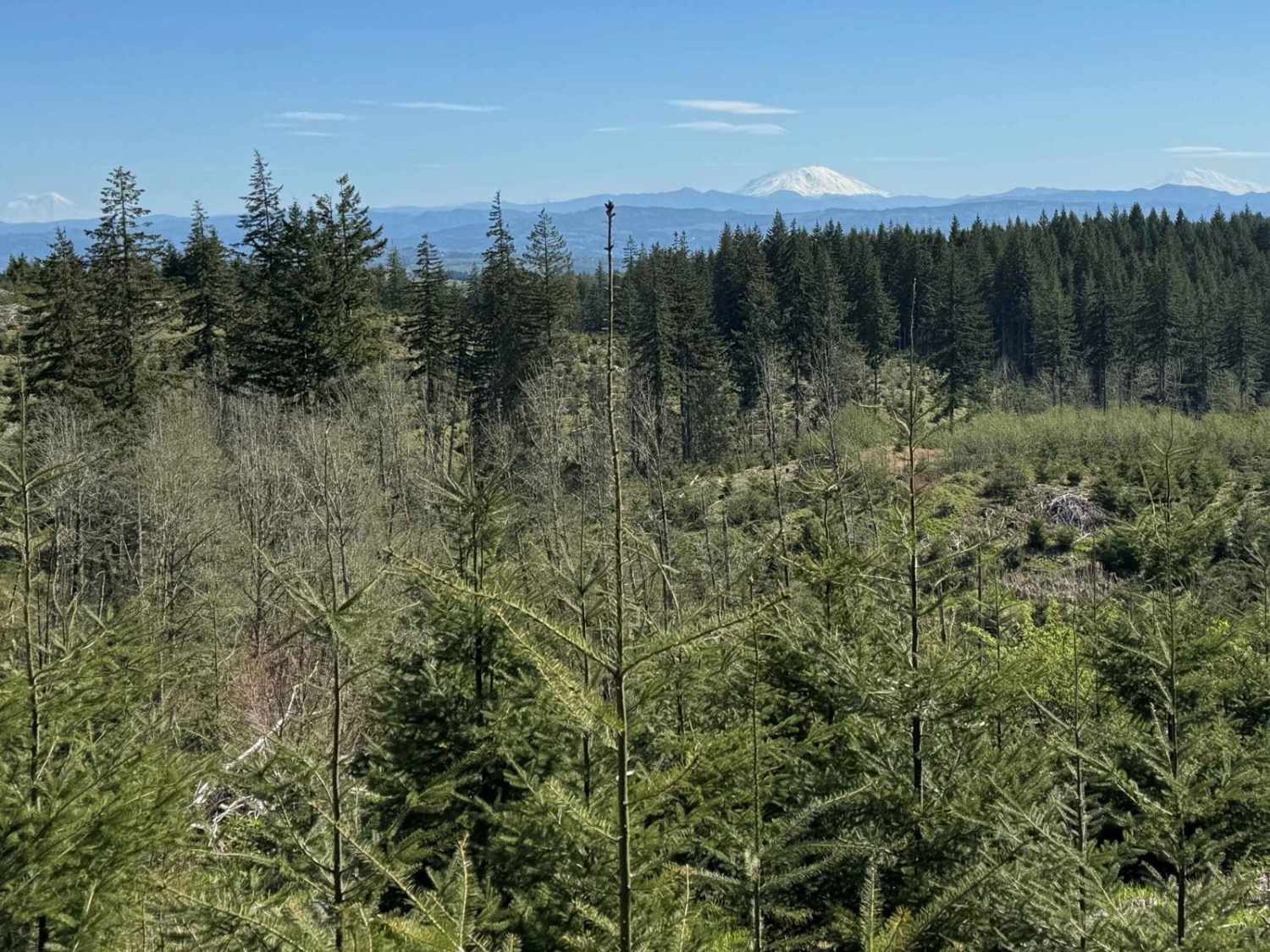
This timberland traverse route offers a journey through lush landscapes of private timber company land and access to the pristine Tillamook State Forest. Adventurers are immediately greeted with a canopy of towering conifers and the soothing sounds of nature. The trail gradually ascends, providing glimpses of the surrounding managed timberland and occasional wildlife sightings. Within the first 1.5 miles on clear days, travelers are treated to peek-a-boo views to the east of three majestic snow-capped mountains: Mt. Rainier, Mount St. Helens, and Mt. Adams. At the 3-mile mark, explorers encounter a pivotal junction where they can turn onto Karth Road, leading to Apiary Road and Camp Wilkerson in the Tillamook State Forest. Continuing along the main route, you soon reach the highest elevation point and are rewarded with sweeping vistas of the surrounding valleys and ridges. From here, the trail gently descends into the serene East Fork Nehalem River Valley and the Scappoose-Nehalem Highway. Throughout the journey, visitors are encouraged to tread lightly and respect the natural environment and private property boundaries.
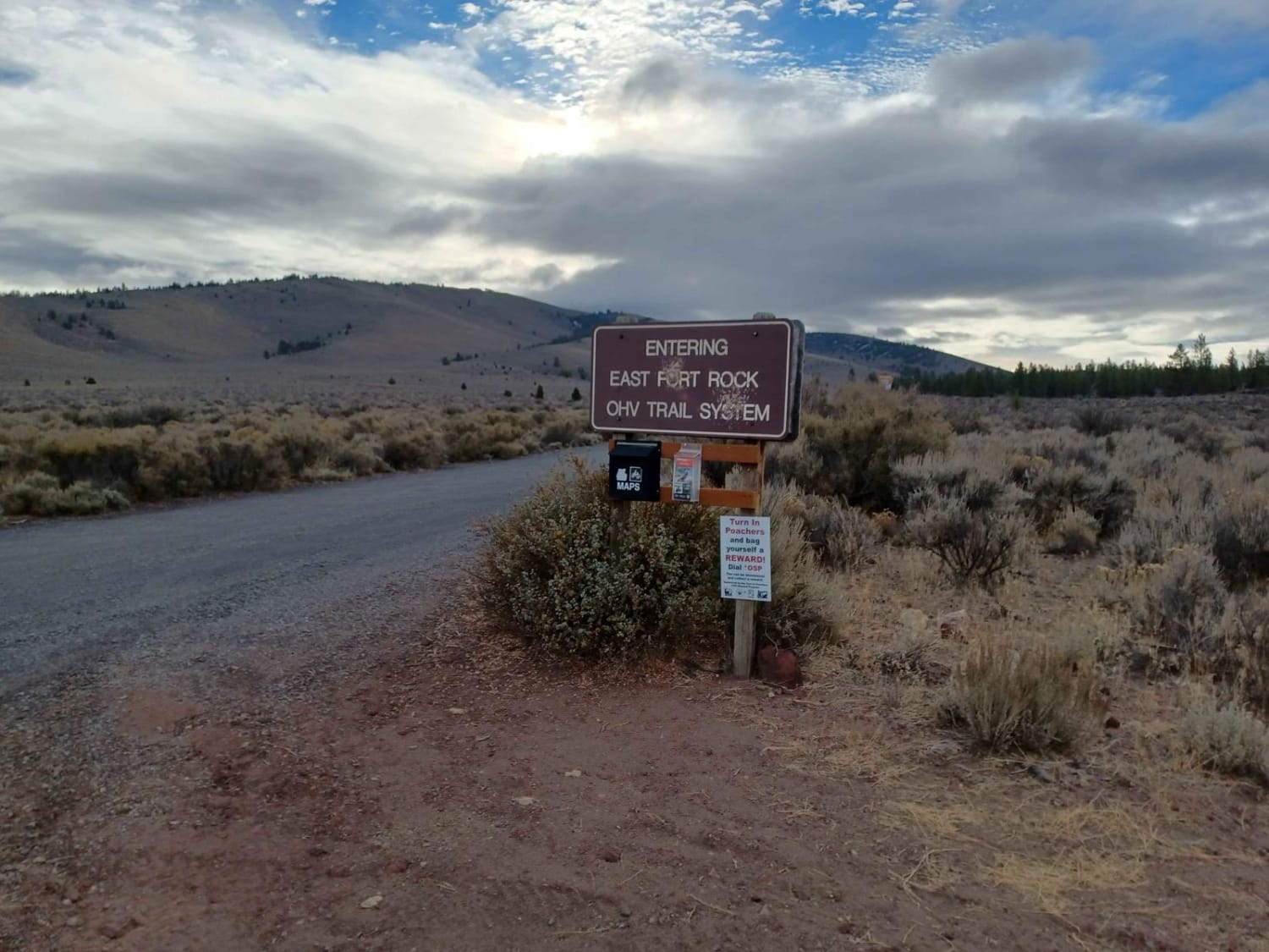
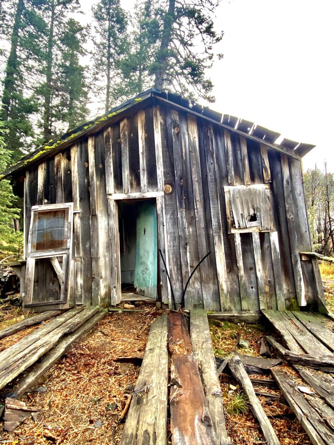
Photos of Pittsburg Road
Difficulty
This route passes through privately managed timberland with periods of busy log truck traffic. Drive slowly and be prepared for oncoming traffic.
Popular Trails

High Lakes to North Blowout Shelter

Spencer Wells

Patterson Mountain
The onX Offroad Difference
onX Offroad combines trail photos, descriptions, difficulty ratings, width restrictions, seasonality, and more in a user-friendly interface. Available on all devices, with offline access and full compatibility with CarPlay and Android Auto. Discover what you’re missing today!


