Riddle Mountain
Total Miles
8.0
Technical Rating
Best Time
Summer
Trail Type
Full-Width Road
Accessible By
Trail Overview
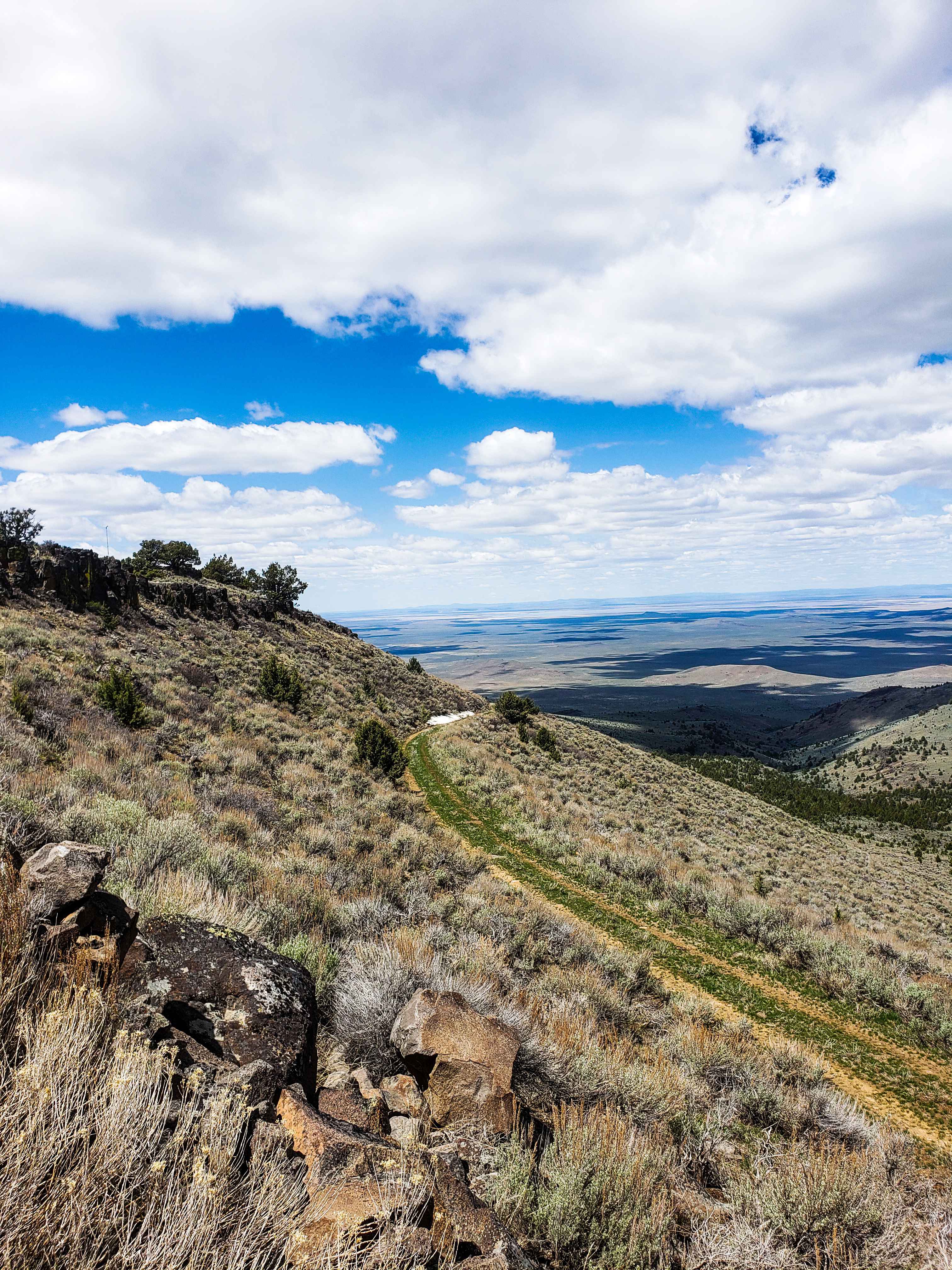
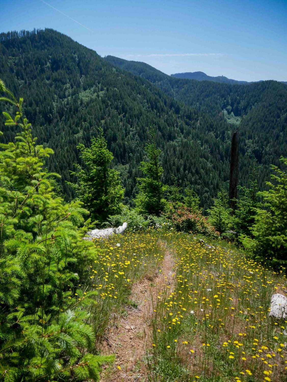
Riddle Mountain Trail reaches the top of Mountain at the BLM fire lookout. The trail crosses public land for much of the route. Please treat the private land sections with care and leave every gate as you found it. There are several fences and gates, which may be open or closed seasonally.The trail is relatively easy to drive but the route is one long unbroken grade to the top. The trail surface has been graded to be very wide and well drained. The BLM uses this road for their fire crews. This route can become treacherous with a small amount of precipitation or snow. The nearest town with services is Burns, 75 miles away, although the small towns of Diamond, Frenchglen, and Crane are nearby. Most of the route has poor cell reception, however it is reliable at the top. Excellent views of Steens Mountain, Little Riddle Mountain, and the Harney Basin can be seen in the distance.
Photos of Riddle Mountain
Difficulty
Trail is quite easy but very remote.
Riddle Mountain can be accessed by the following ride types:
- High-Clearance 4x4
- SUV
- SxS (60")
- ATV (50")
- Dirt Bike
Riddle Mountain Map
Popular Trails
Three Springs Offshoot
Myrtle Park Ice Cave
Cook creek Road
Doughboy Meets Dirt #94
The onX Offroad Difference
onX Offroad combines trail photos, descriptions, difficulty ratings, width restrictions, seasonality, and more in a user-friendly interface. Available on all devices, with offline access and full compatibility with CarPlay and Android Auto. Discover what you’re missing today!

