Skull Creek to Horton MIll Connector
Total Miles
14.8
Technical Rating
Best Time
Summer, Fall
Trail Type
Full-Width Road
Accessible By
Trail Overview
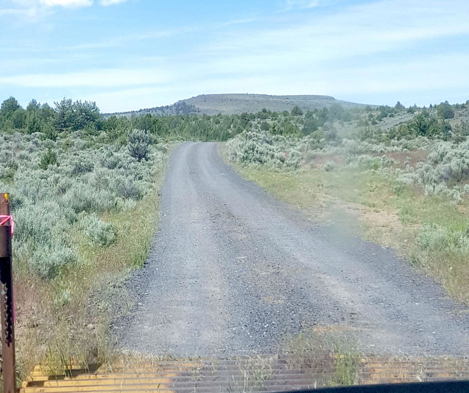
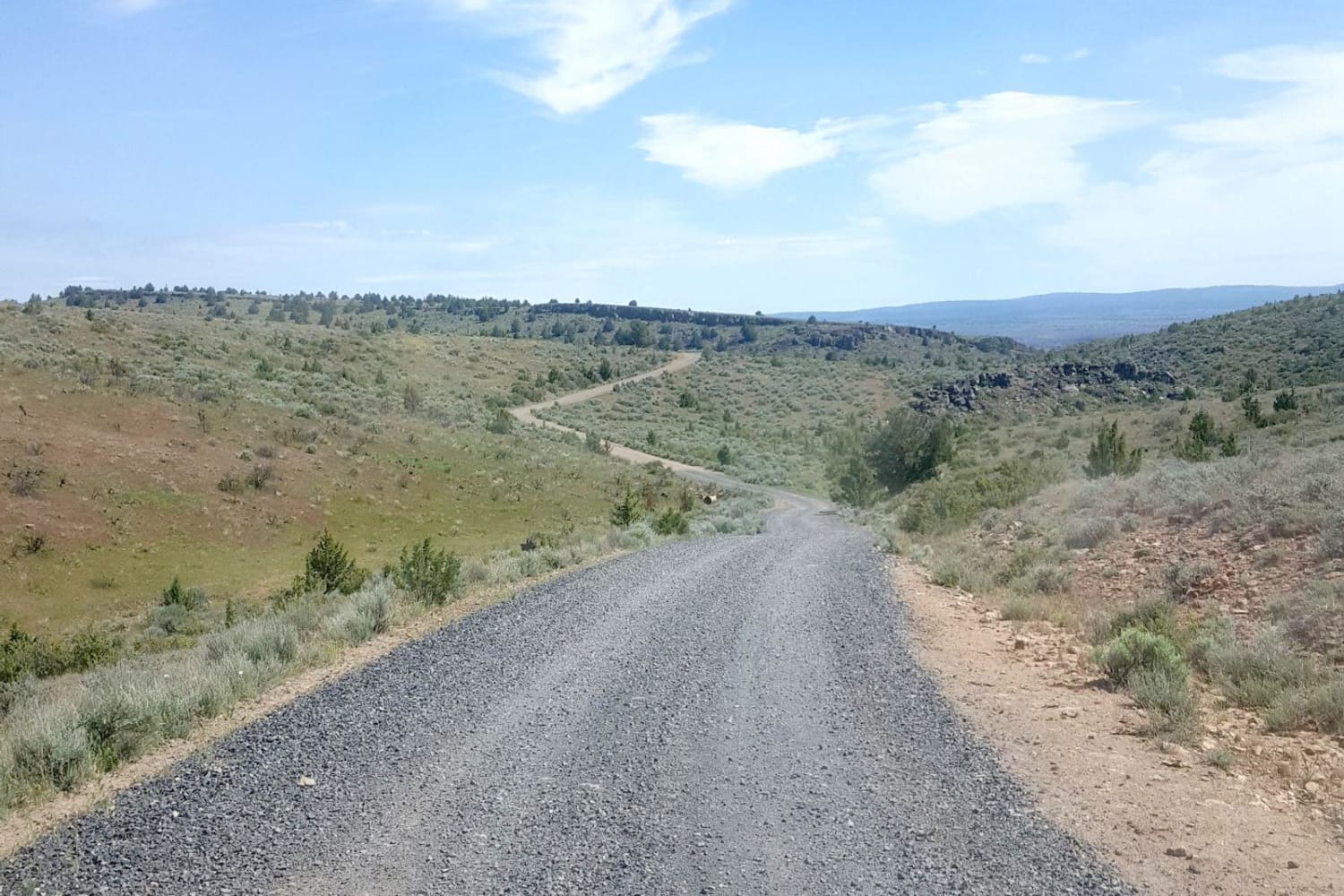
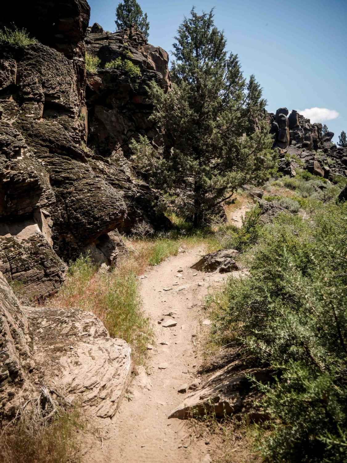
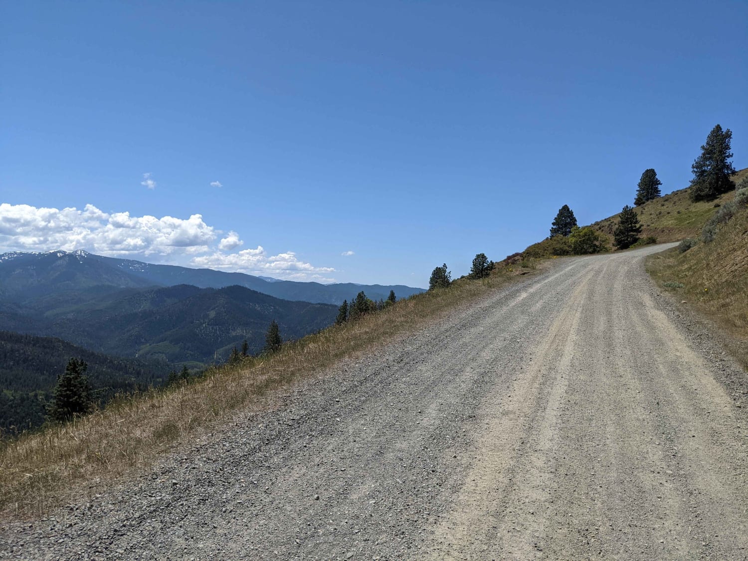
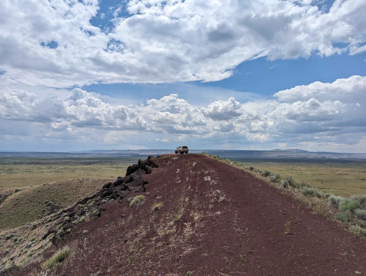
This trail passes through many high-desert landscapes such as sagebrush, mountain mahogany slopes, and ponderosa pine forests. The road surface is variable between decent gravel and deeply rutted 2-track, with some areas having recently been completely replaced. There are several excellent views of the nearby town of Burns/Harney Basin, Rimrock Canyon, and many beautiful high desert vistas. Hot and dry days with cold, windy nights, bring more water than you think you will need.
Photos of Skull Creek to Horton MIll Connector
Difficulty
This trail is 60% gravel and easy, but it also has several mud holes and small ledges which can be bypassed if desired. It's a very remote area.
History
This area has traditionally been open-range and has also been used to access obsidian collecting for generations.
Status Reports
Skull Creek to Horton MIll Connector can be accessed by the following ride types:
- High-Clearance 4x4
- SUV
- SxS (60")
- ATV (50")
- Dirt Bike
Skull Creek to Horton MIll Connector Map
Popular Trails
Anderson Butte Road
Diamond Craters Auto Tour Route
The onX Offroad Difference
onX Offroad combines trail photos, descriptions, difficulty ratings, width restrictions, seasonality, and more in a user-friendly interface. Available on all devices, with offline access and full compatibility with CarPlay and Android Auto. Discover what you’re missing today!
