South Fork Road
Total Miles
29.5
Technical Rating
Best Time
Summer
Trail Type
Full-Width Road
Accessible By
Trail Overview
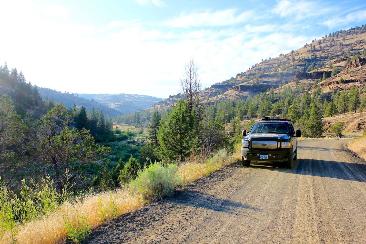
This trail follows the South Fork of the John Day River and crosses a very remote area. It's a great area for camping and hiking. Destinations include Blacks Canyon, Izee Falls, and several historical sites, as well as remote hunting access. The road generally opens in late spring and closes early in the fall. The road is smooth and gravel, however some areas are very rough and some of the longer, steeper slopes are impassible when wet. The road passes Izee Falls, which is a great spot to swim and wade in the heat of summer, but completely unapproachable in spring. The river gets very swollen in spring but water levels dwindle by late summer. There is no cell service, carry water always as temperatures in the high desert can get very hot and dry.
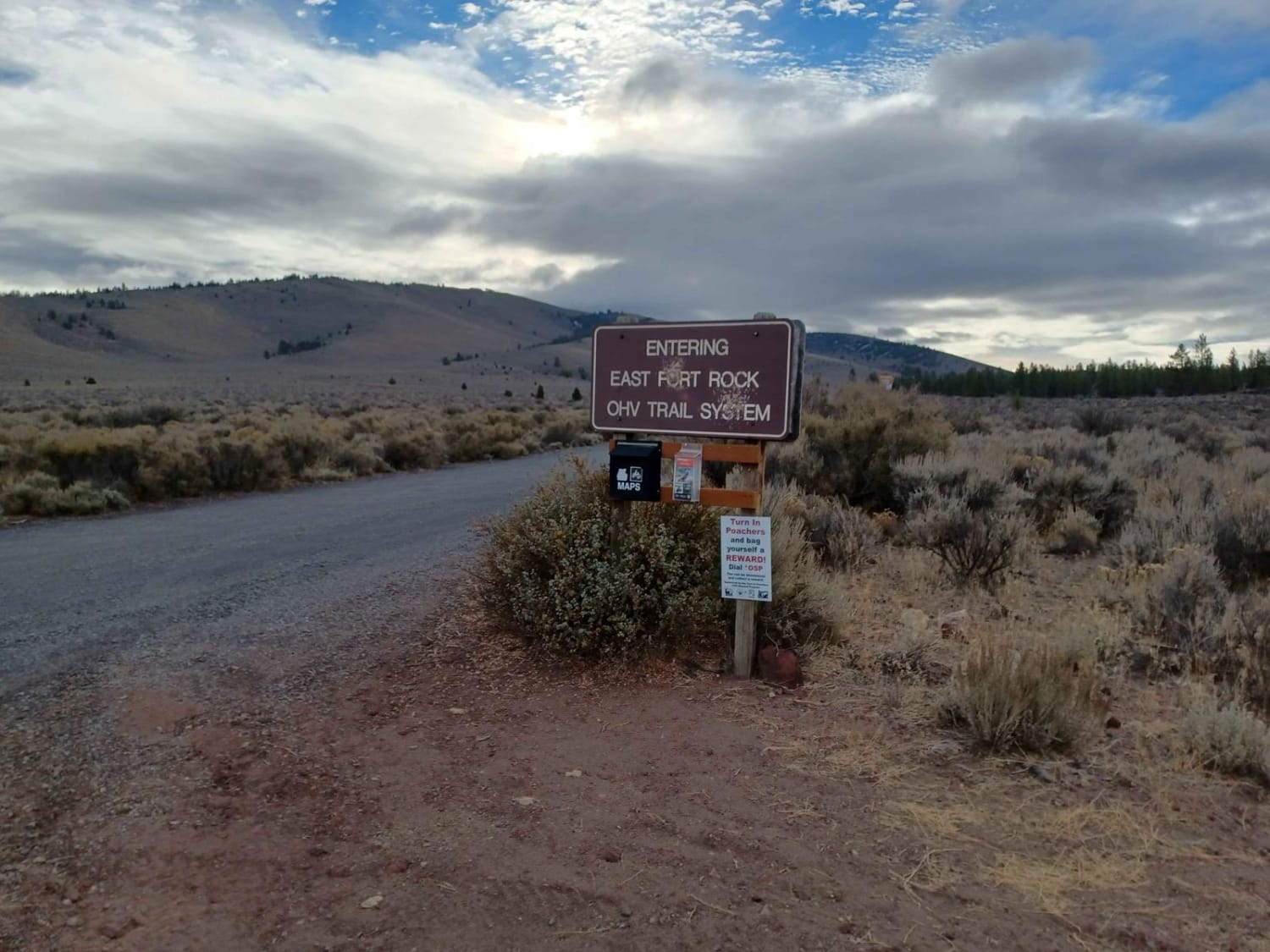
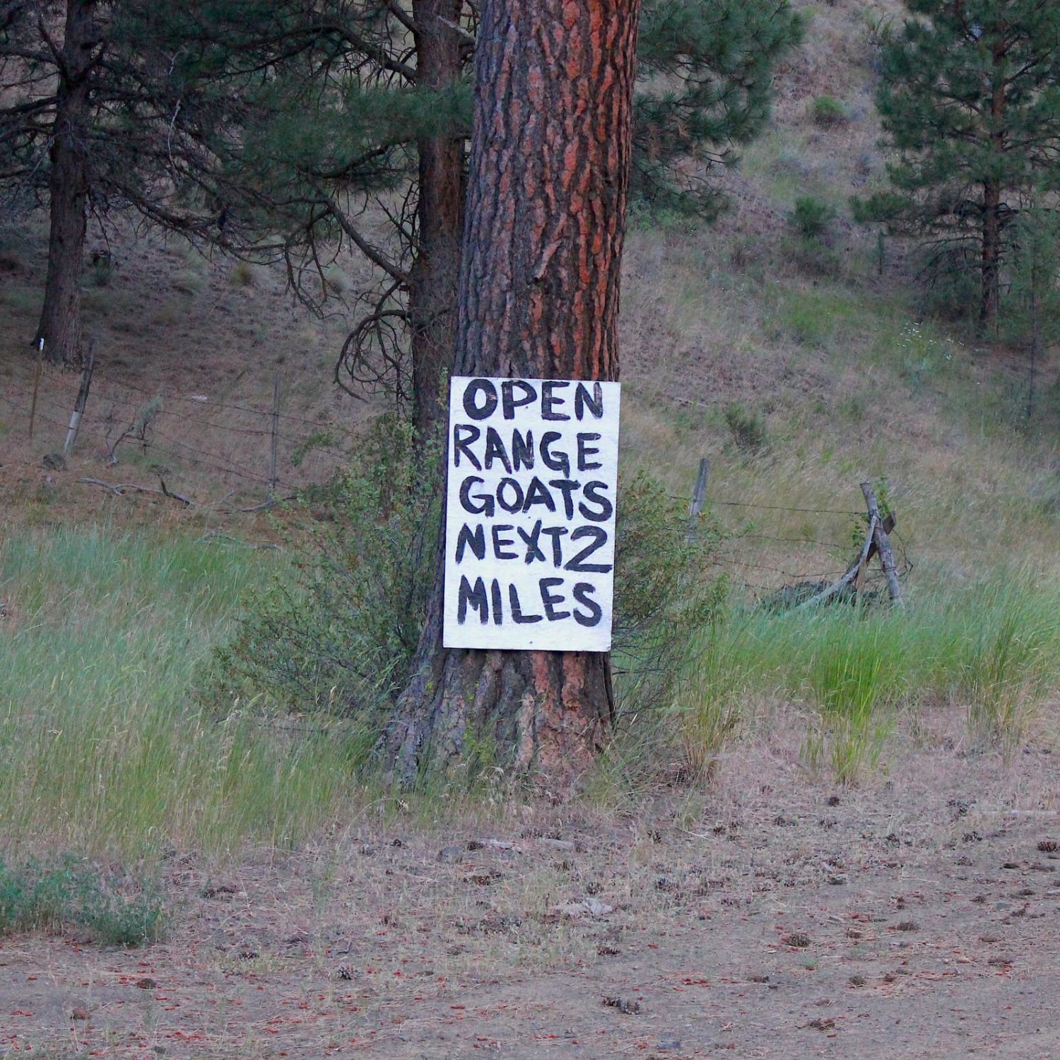
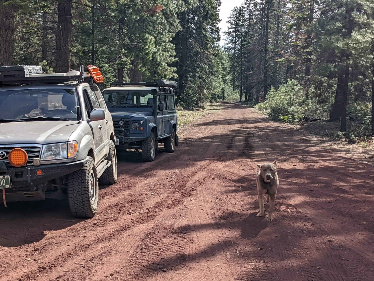
Photos of South Fork Road
Difficulty
The road is easy but remote with some long grades. Most of it is nice, but there are some rough spots and it can be difficult when wet.
History
The "IZ" Ranch operated in this area. Many historical sites can be found along the way.
Status Reports
South Fork Road can be accessed by the following ride types:
- High-Clearance 4x4
- SUV
- SxS (60")
- Dirt Bike
South Fork Road Map
Popular Trails

Spencer Wells

#104 (Moderate)
The onX Offroad Difference
onX Offroad combines trail photos, descriptions, difficulty ratings, width restrictions, seasonality, and more in a user-friendly interface. Available on all devices, with offline access and full compatibility with CarPlay and Android Auto. Discover what you’re missing today!


