Upper Cold Spring
Total Miles
2.6
Elevation
2,502.62 ft
Duration
0.5 Hours
Technical Rating
Best Time
Fall, Summer
Trail Overview
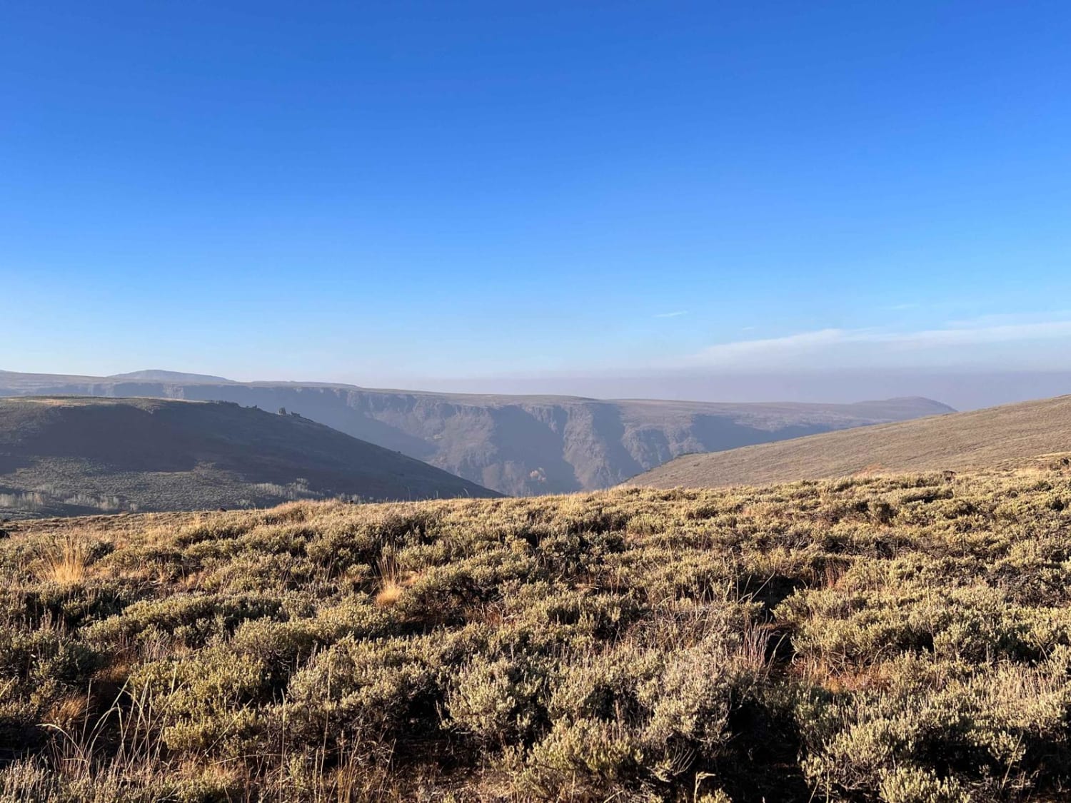
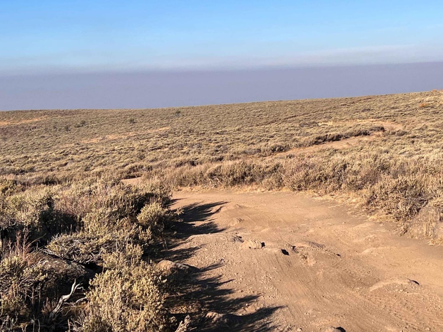
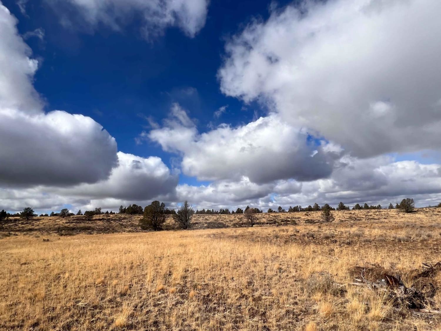
This is the more heavily traveled section of the trail. It leads to the crossroads of Grove Creek (more traveled) and Lower Cold Springs. "Less Traveled" the trail travels along a fence line and primarily through fields of Sagebrush. There are a few large boulders to climb and some moon dust sections as well. Be aware of sharp boulders along the trail's edge that may cause sidewall damage. Mostly the route is easy, with a few pullouts scattered here and there, but oncoming traffic may have to reverse to pass. There are no natural spots to disperse camp. Two bars of Verizon LTE service.
Photos of Upper Cold Spring
Difficulty
Mostly easy with some larger boulders that may catch a differential. Some tighter turns and narrow sections with occasional pullouts.
Status Reports
Popular Trails
Dovre Peak to Tahoe Lake
Lookout Mountain Road - FR 4410000
Three Springs Dead End
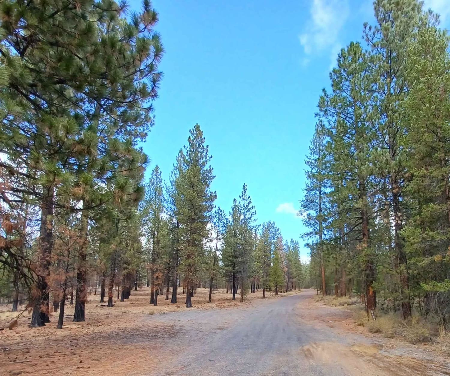
Pipeline #2215
The onX Offroad Difference
onX Offroad combines trail photos, descriptions, difficulty ratings, width restrictions, seasonality, and more in a user-friendly interface. Available on all devices, with offline access and full compatibility with CarPlay and Android Auto. Discover what you’re missing today!
