Upper Cross District Trail - NF 103000
Total Miles
5.4
Technical Rating
Best Time
Spring, Summer, Fall
Trail Type
Full-Width Road
Accessible By
Trail Overview
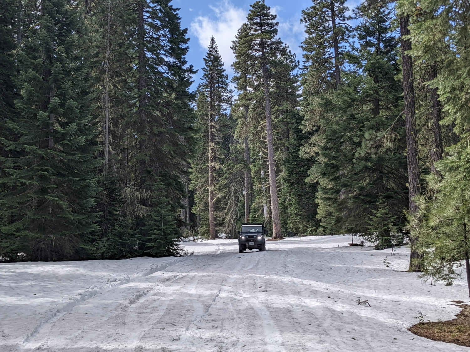
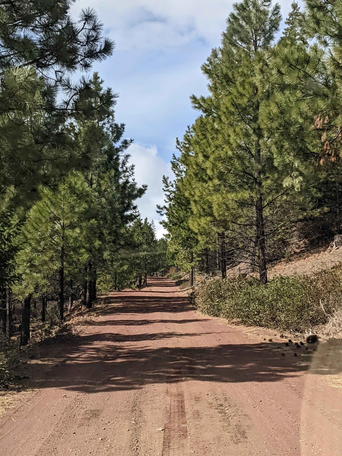
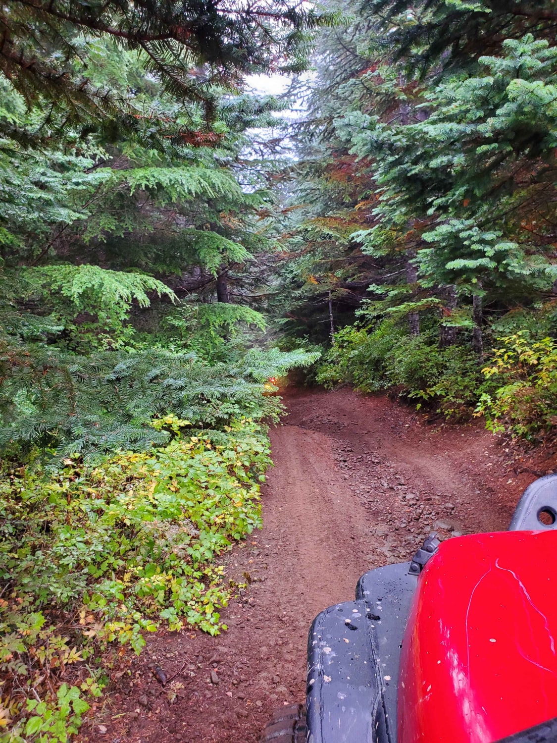
Mostly graded cinder Forest Service Road looping off of the Lower Cross District Trail. This road skirts the edge of the Mount Washington Wilderness and leads to spurs that dead-ends along the wilderness boundary. This road ranges in elevation between 4200'-4400' so it is snowbound and not maintained in winter.
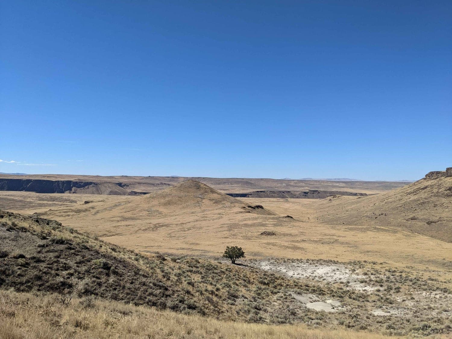
Photos of Upper Cross District Trail - NF 103000
Difficulty
Little used forest service road.
Status Reports
Popular Trails
Remington Ranch Road Loop
Jackson's Cat Trail

Painted Cove Nature Trail Access
The onX Offroad Difference
onX Offroad combines trail photos, descriptions, difficulty ratings, width restrictions, seasonality, and more in a user-friendly interface. Available on all devices, with offline access and full compatibility with CarPlay and Android Auto. Discover what you’re missing today!
