ZigZag Road - North
Total Miles
2.5
Technical Rating
Best Time
Spring, Summer, Fall
Trail Type
Full-Width Road
Accessible By
Trail Overview
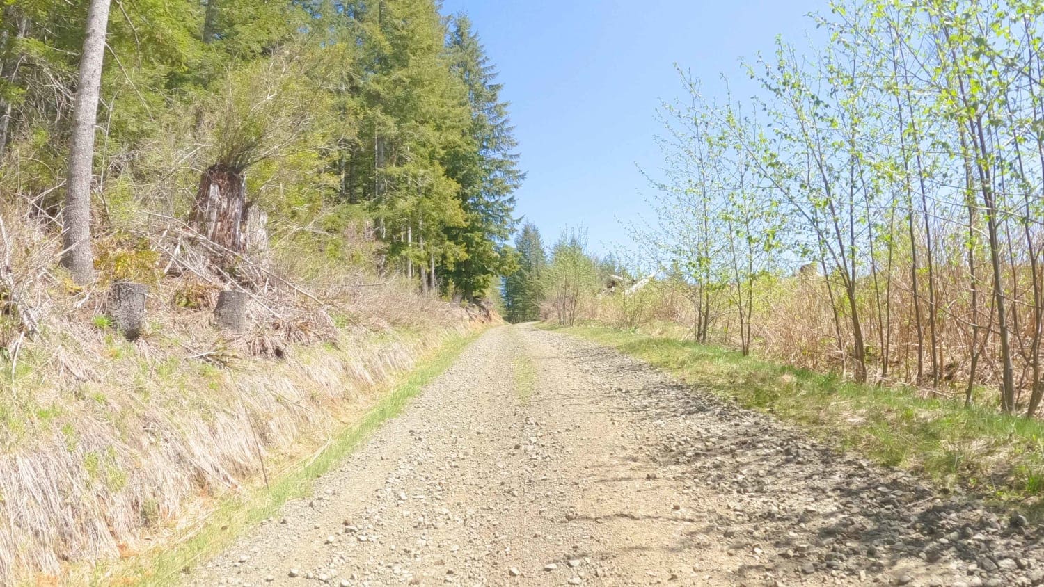
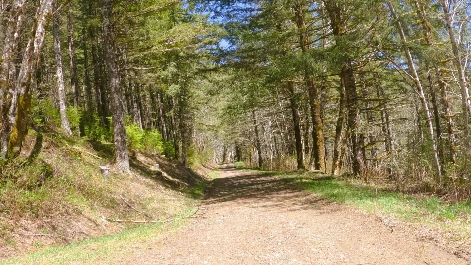
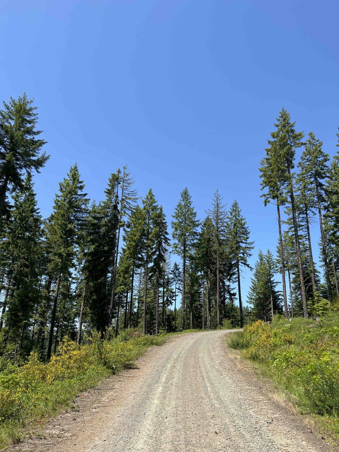
Zig Zag Road is an easy 3.8 mile gravel forest service road in the Tillamook Range. It is split into three sections (ZigZag Road North - 2.8 miles, ZigZag Road South - .5 miles, and the ZigZag Trail - .5 miles) by a change in road surface and character. This easy level-two gravel road changes to a level-five trail as it drops over 600 feet in half a mile in a tightly forested two-track with thirteen switchbacks. If not prepared for the challenge, return to Hembre Ridge and seek an alternate route.
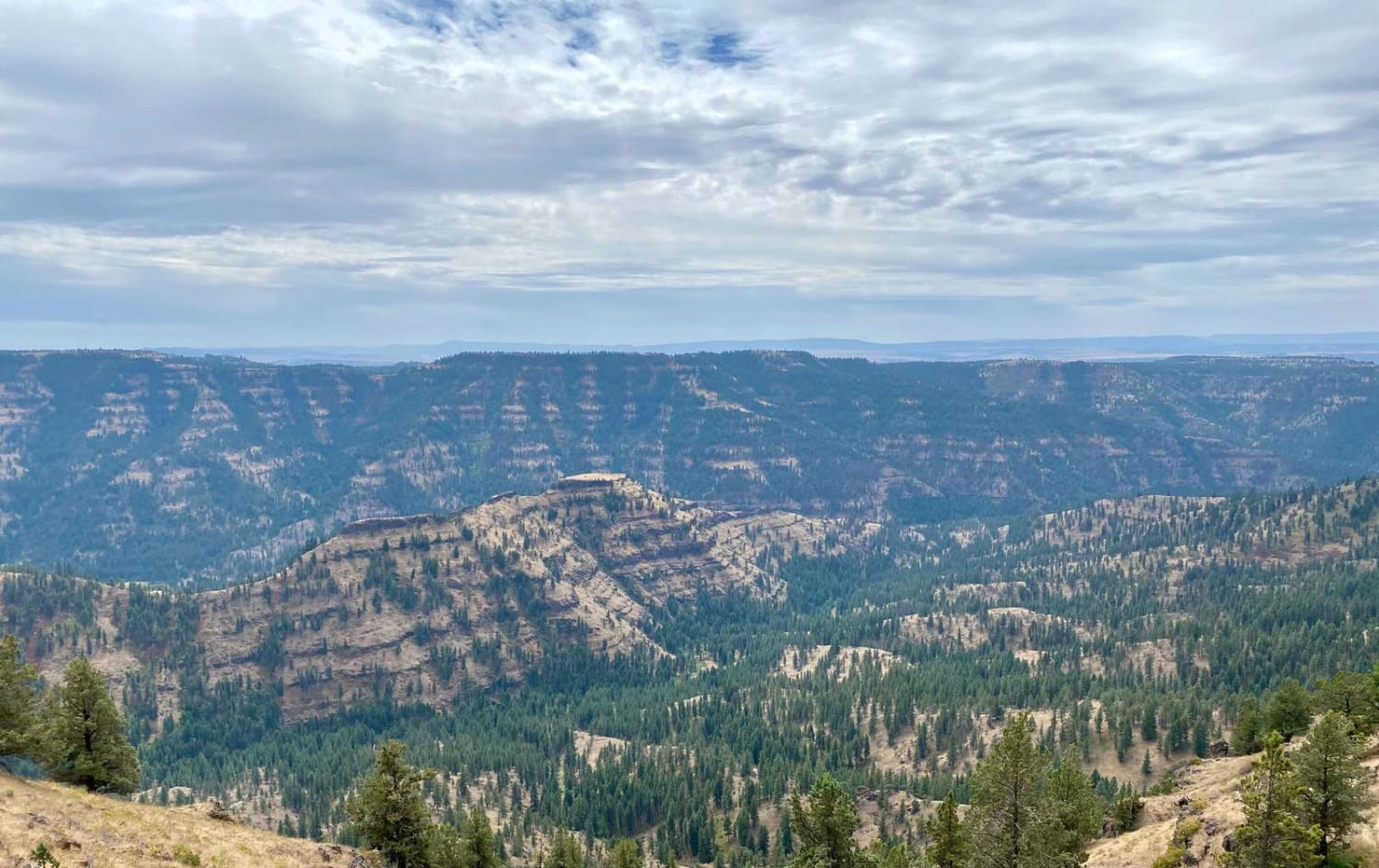
Photos of ZigZag Road - North
Difficulty
This is an easy gravel FS road.
Popular Trails
Route 5506 - Siuslaw Natl Forest
Grease Monkey James
Skyline Drive Trail
The onX Offroad Difference
onX Offroad combines trail photos, descriptions, difficulty ratings, width restrictions, seasonality, and more in a user-friendly interface. Available on all devices, with offline access and full compatibility with CarPlay and Android Auto. Discover what you’re missing today!
