Ashland 54
Total Miles
0.1
Technical Rating
Best Time
Spring, Summer, Fall, Winter
Trail Type
Full-Width Road
Accessible By
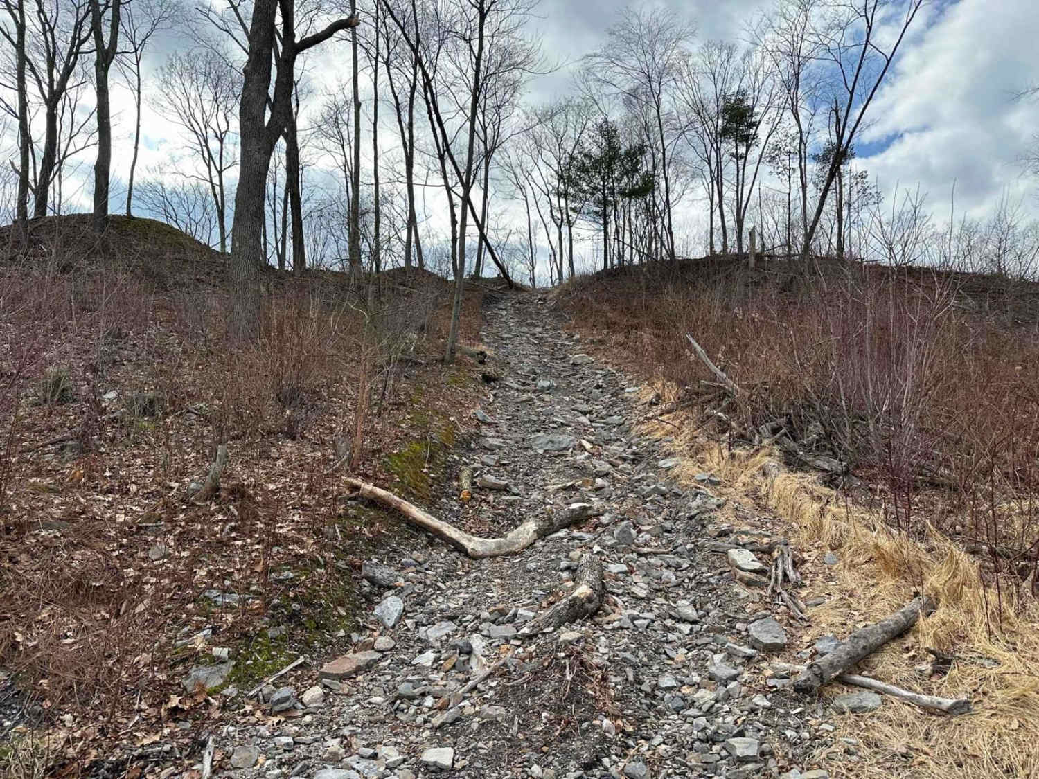
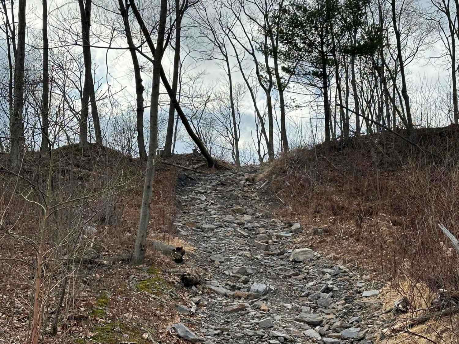
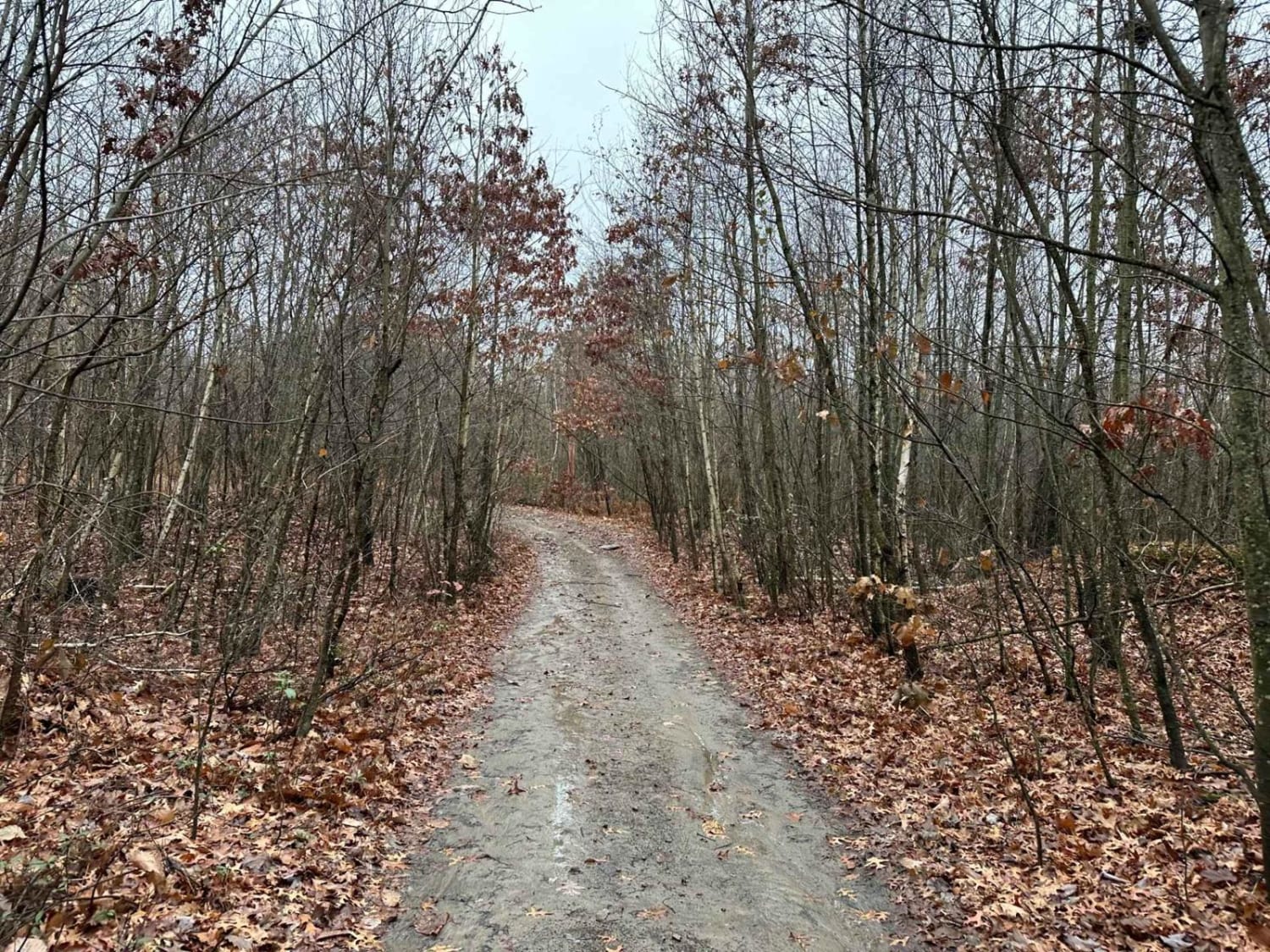
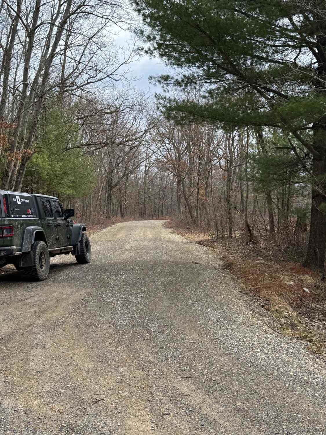
Trail Overview
Ashland 54 starts as an easy flat coal dirt trail in the wide open area. Then it turns and goes up a steep and rocky hill. This hill is full of rocks and changes constantly. Sometimes it can be easy and sometimes it can be more challenging.
Photos of Ashland 54
Difficulty
Flat and easy trail turning into a rocky hill climb.
Status Reports
Ashland 54 can be accessed by the following ride types:
- High-Clearance 4x4
- SUV
- SxS (60")
- ATV (50")
- Dirt Bike
Ashland 54 Map
Popular Trails

Ashland 175
Wolf Run Road

Trail 8D - Rock Run Recreation Area
The onX Offroad Difference
onX Offroad combines trail photos, descriptions, difficulty ratings, width restrictions, seasonality, and more in a user-friendly interface. Available on all devices, with offline access and full compatibility with CarPlay and Android Auto. Discover what you’re missing today!