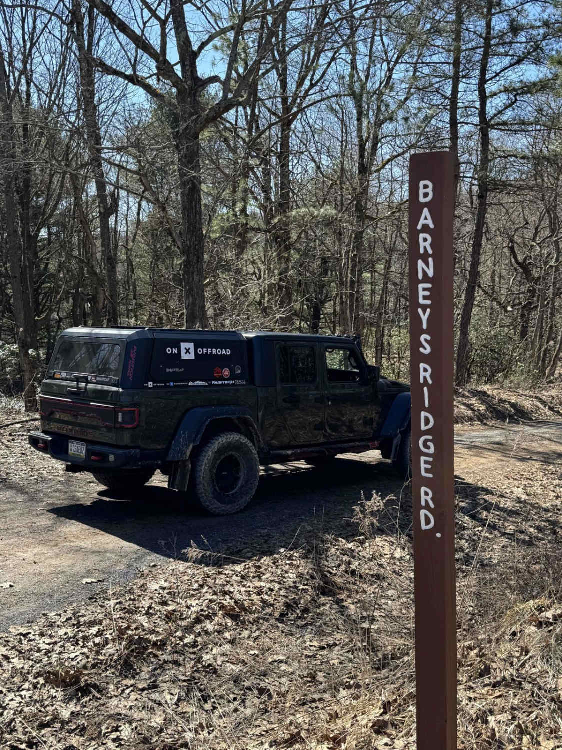
Beidleheimer Trail
Total Miles
4.7
Technical Rating
Best Time
Spring, Summer, Fall, Winter
Trail Type
Full-Width Road
Accessible By
Trail Overview
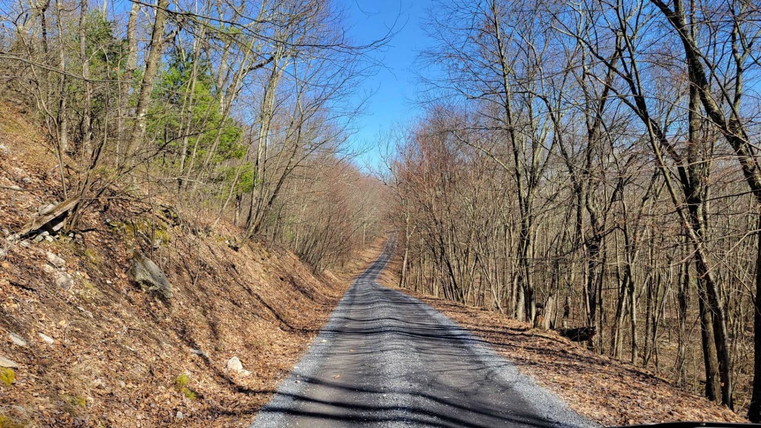
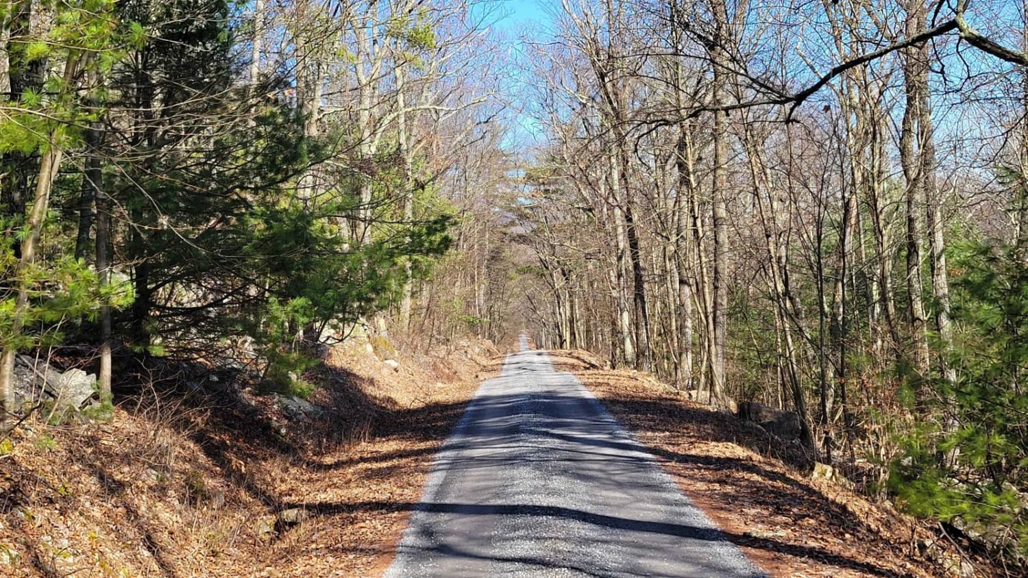
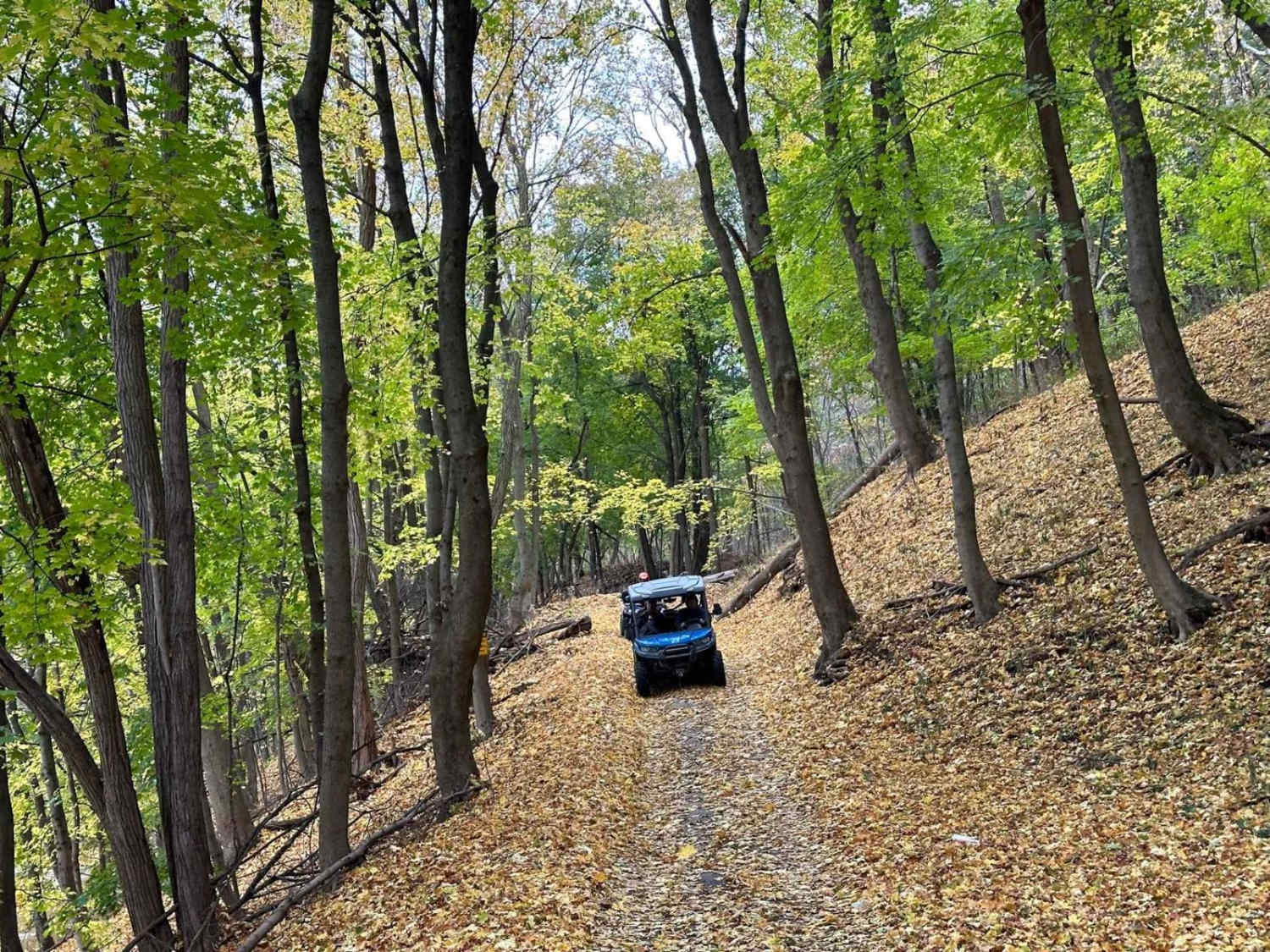
The Beidleheimer Trail runs East to West through Rothrock State Forest in Pennsylvania. This road offers a pleasant and easy drive along Bell Ridge. While there are no motorized campsites on this trail, Bear Meadows Road connects to the East with one motorized campsite. Whipple Dam State Park is a short drive 2 miles to the West. Cell Phone service is very limited in this State Forest so be sure to download offline maps.
Photos of Beidleheimer Trail
Difficulty
This trail should be suitable for most stock SUVs.
Status Reports
Beidleheimer Trail can be accessed by the following ride types:
- High-Clearance 4x4
- SUV
Beidleheimer Trail Map
Popular Trails

A Hill Climb Black East

Darkwater Single Track 3

Barney's Ridge Road
The onX Offroad Difference
onX Offroad combines trail photos, descriptions, difficulty ratings, width restrictions, seasonality, and more in a user-friendly interface. Available on all devices, with offline access and full compatibility with CarPlay and Android Auto. Discover what you’re missing today!


