K
Total Miles
0.8
Elevation
405.03 ft
Duration
0.75 Hours
Technical Rating
Best Time
Spring, Summer, Fall, Winter
Trail Overview
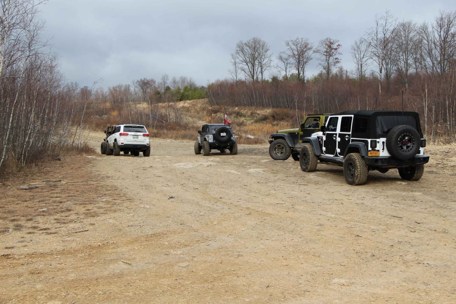
Trail K serves as the main route through the southern section of the northeast property. Originating from Blacktop Road, it leads down to K1. This stock-friendly trail features small washouts, water puddles, small rocks, and some brush. As you drive south on this trail, you'll encounter some nice views along the way.
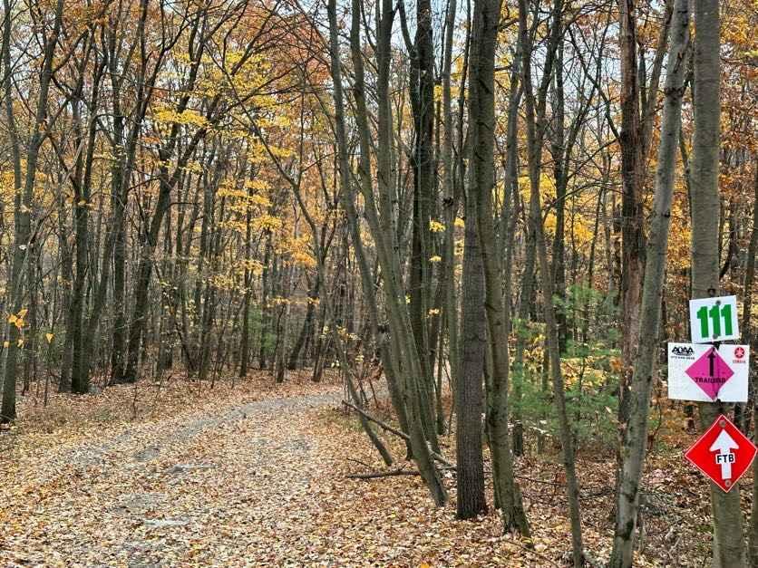
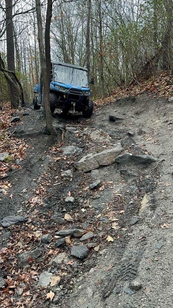
Photos of K

Difficulty
This is an easier trail with small rocks, washouts, and puddles. It can be a little brushy in the summer.
Status Reports
Popular Trails

ATV Trail Pines Bypass

The onX Offroad Difference
onX Offroad combines trail photos, descriptions, difficulty ratings, width restrictions, seasonality, and more in a user-friendly interface. Available on all devices, with offline access and full compatibility with CarPlay and Android Auto. Discover what you’re missing today!