Knob Ridge Road
Total Miles
8.4
Technical Rating
Best Time
Spring, Summer, Fall, Winter
Trail Type
Full-Width Road
Accessible By
Trail Overview
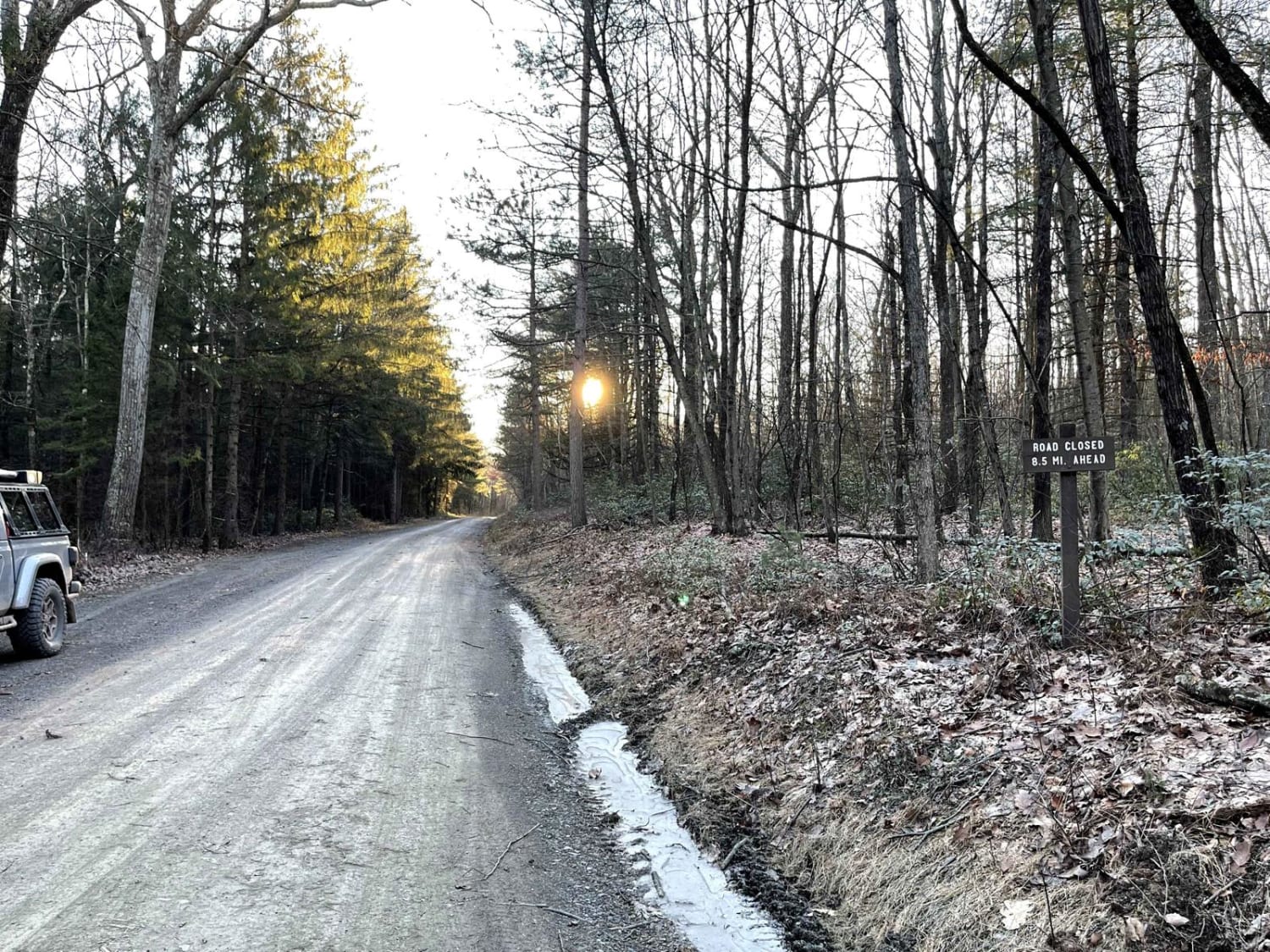
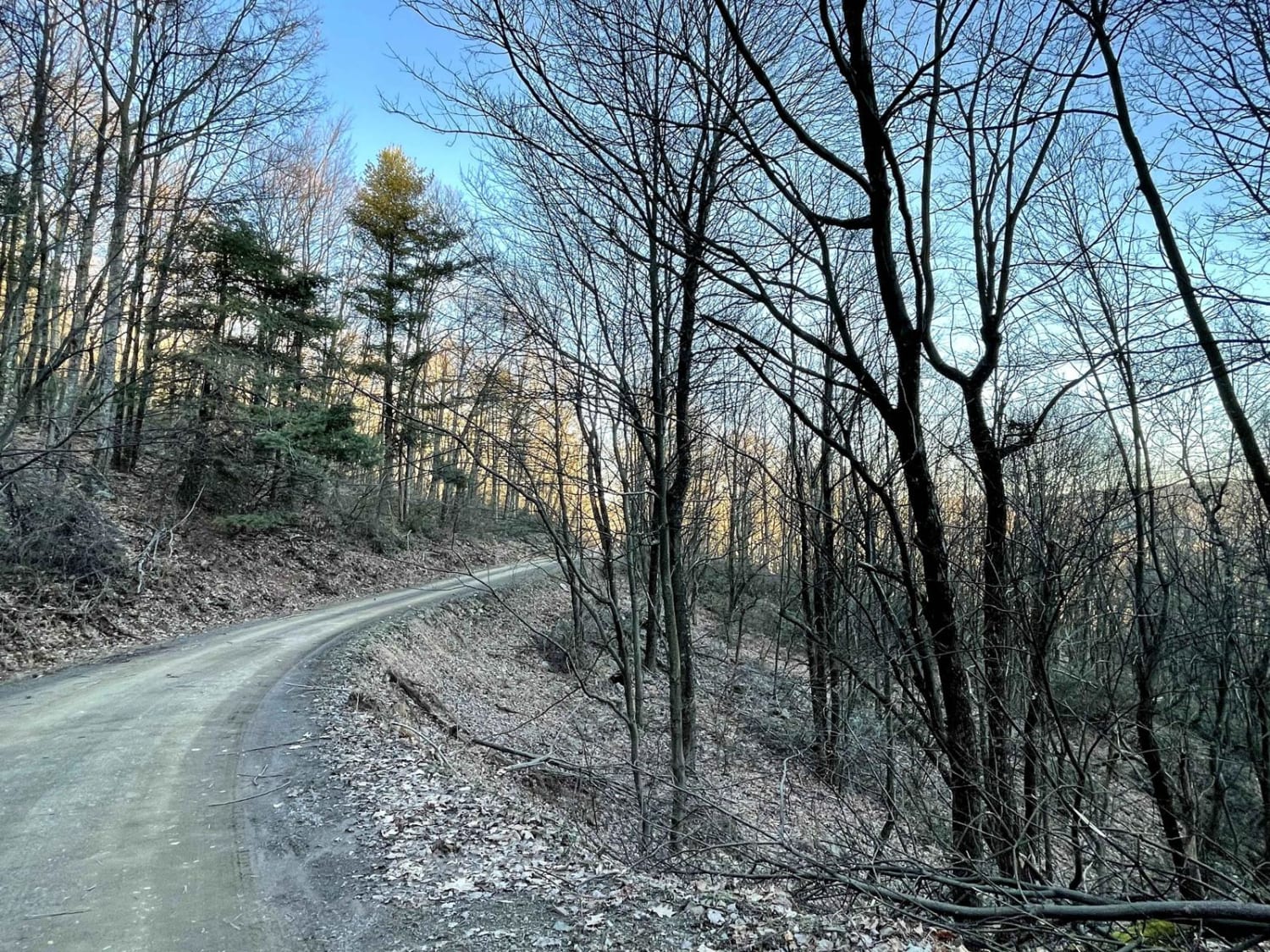
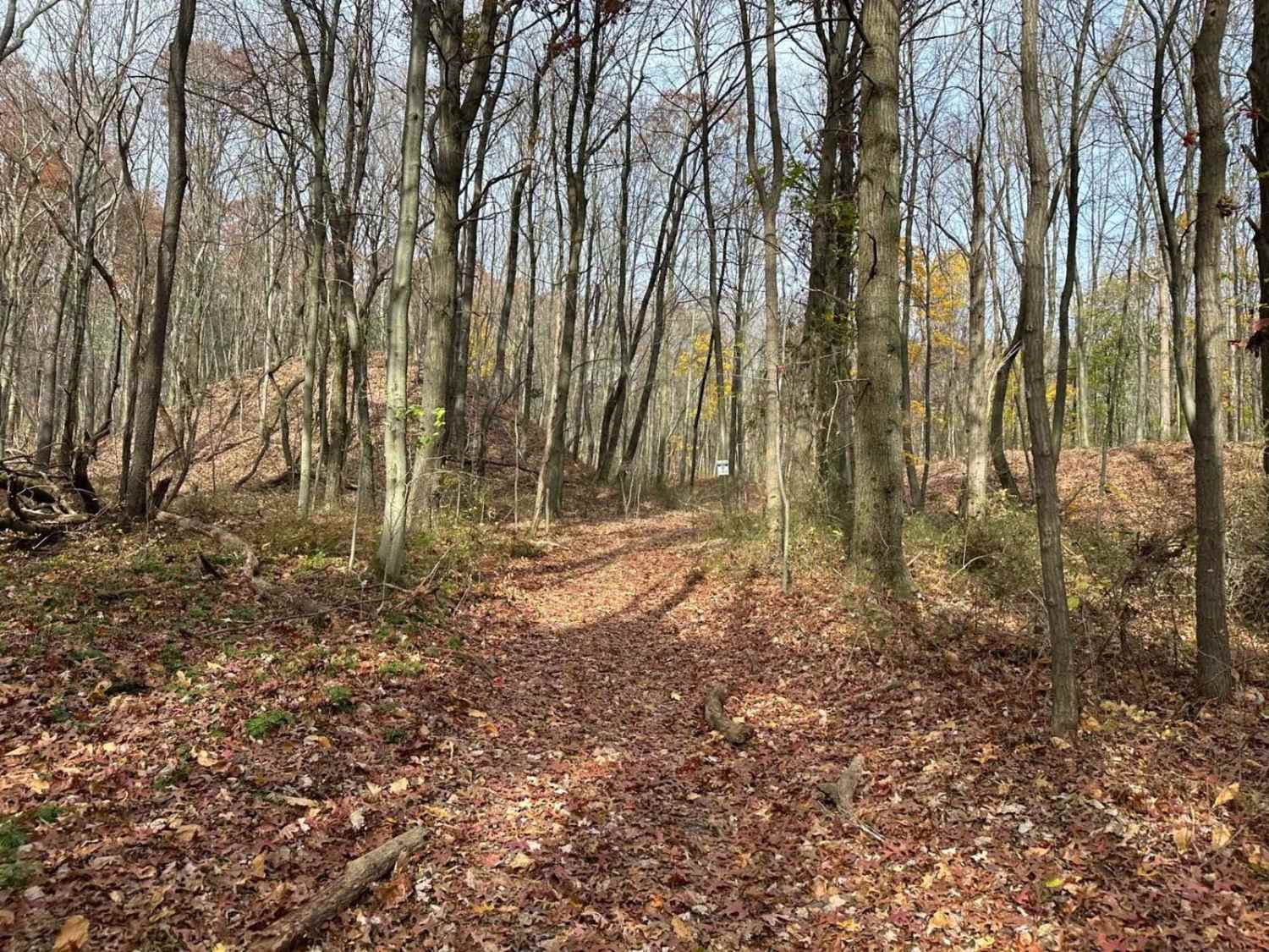
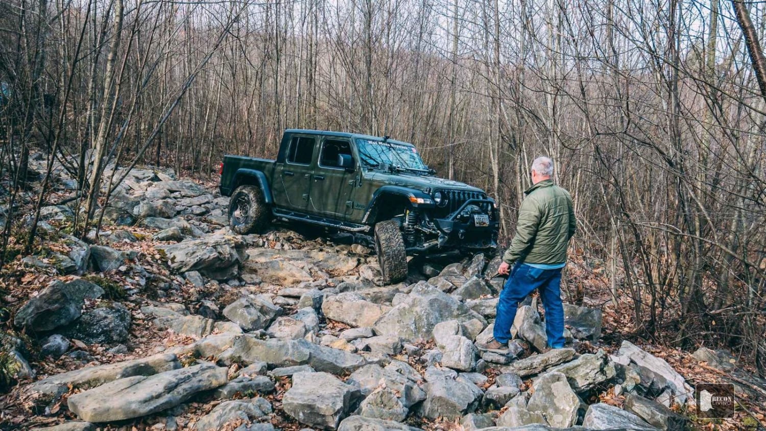
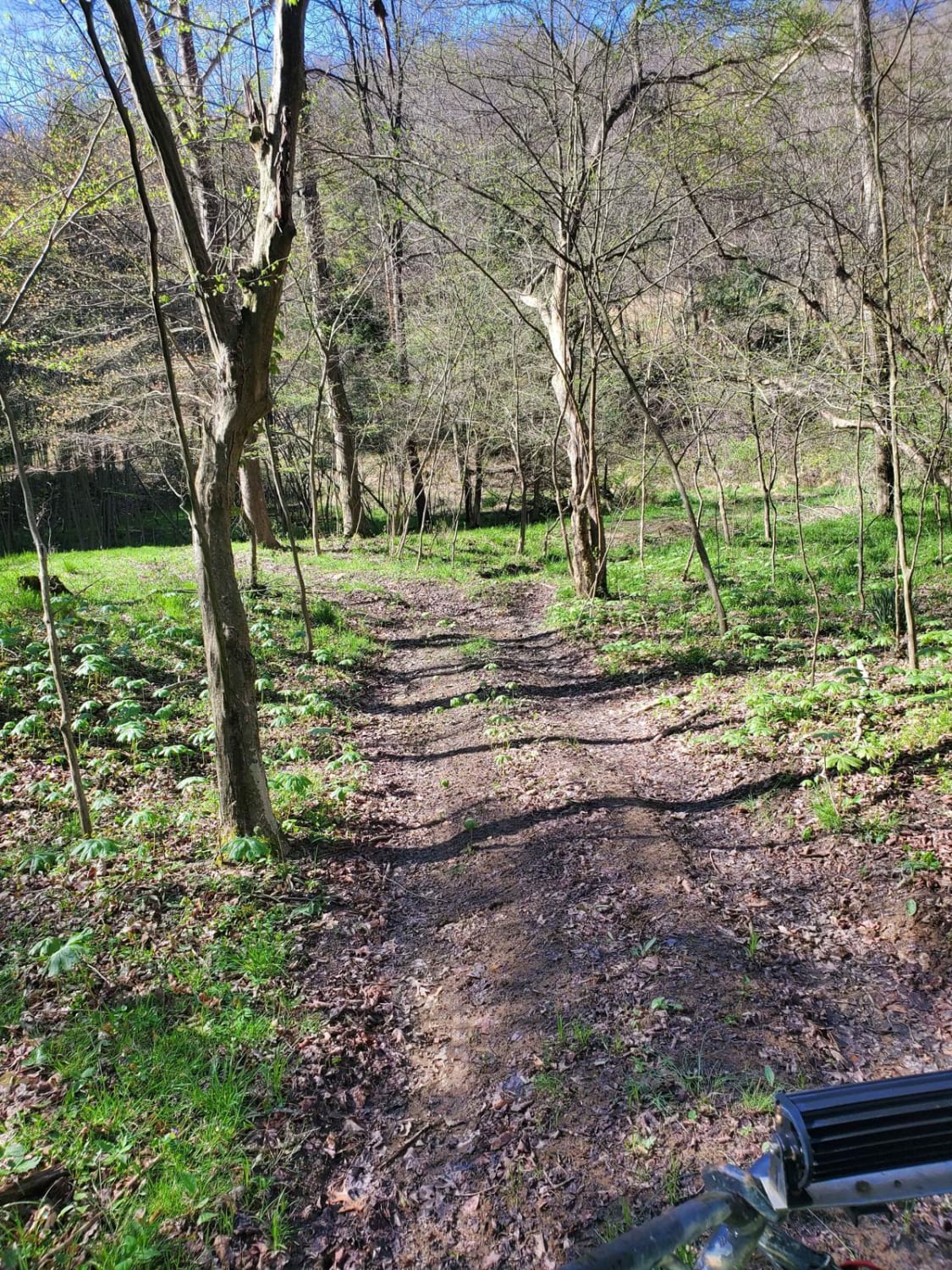
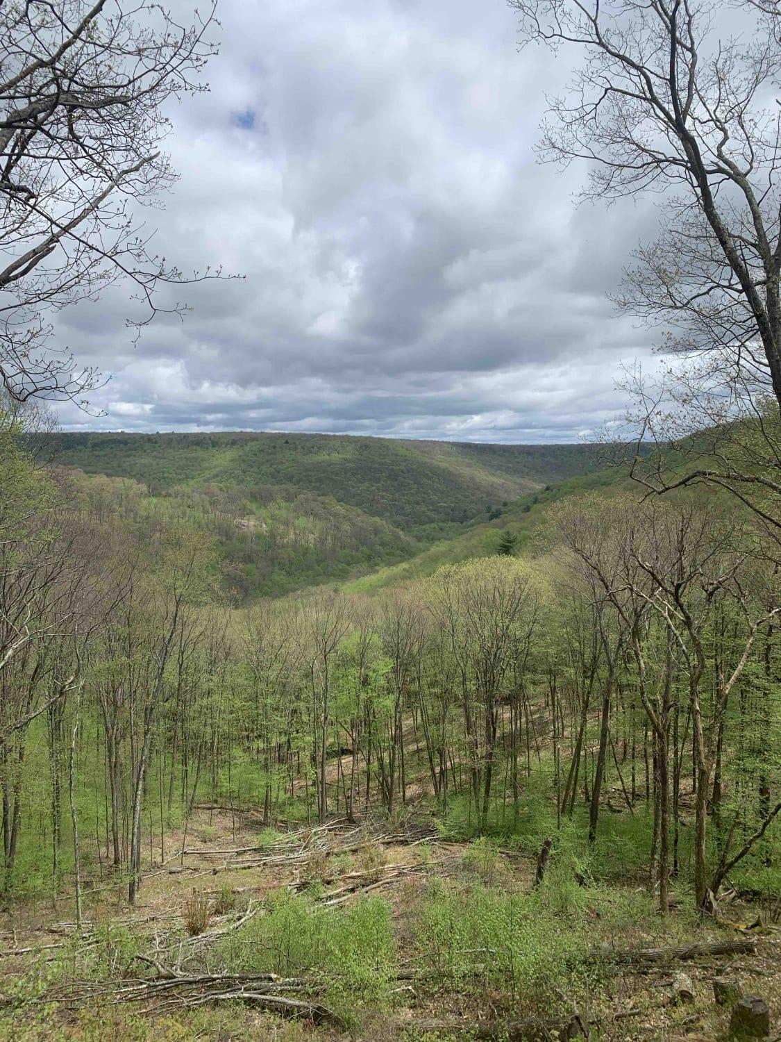
Knob Ridge Road is a dead-end road covering roughly 8.5 miles while crossing through state and private property. It is a hard-packed, smooth, dirt road that will turn muddy when wet. It offers a beautiful, scenic, relaxing drive across the mountain ridge with occasional views of New Lancaster Valley below. At the intersection with Ridge Trail, roughly 7.5 miles from Red Ridge Road, the road changes drastically. A high-clearance vehicle will be required to go further due to basketball size rocks, washes, and ruts. If you choose to turn back now, there is plenty of room to turn several vehicles around at the Ridge Trail intersection and head back out. Pressing on, you will reach the end at a private property that is posted. There is a large cleared area with enough room for several vehicles to turn around or stop, throw out a blanket and have a nice picnic. During the winter, this road can also be traveled via snowmobile.
Photos of Knob Ridge Road
Difficulty
It is a very easy road until you reach the Ridge Trail intersection. A high-clearance vehicle is required to travel the last mile.
Status Reports
Popular Trails
45 - BFR - Blue - Moderate
Lost Reactor Trail
The onX Offroad Difference
onX Offroad combines trail photos, descriptions, difficulty ratings, width restrictions, seasonality, and more in a user-friendly interface. Available on all devices, with offline access and full compatibility with CarPlay and Android Auto. Discover what you’re missing today!
