McIntyre Road
Total Miles
4.3
Technical Rating
Best Time
Summer, Fall, Spring
Trail Type
Full-Width Road
Accessible By
Trail Overview
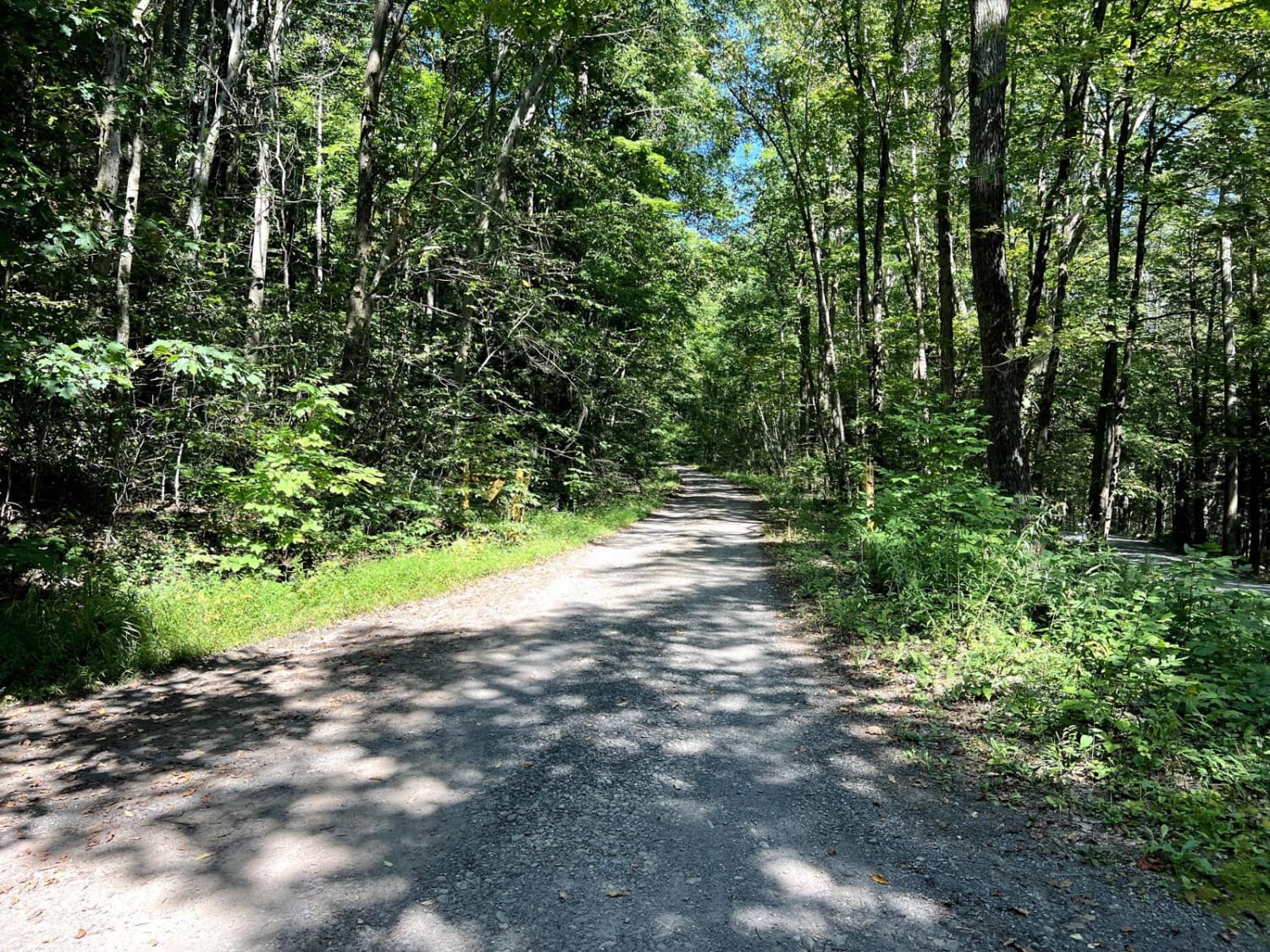
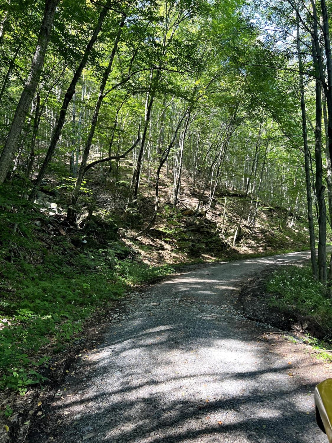
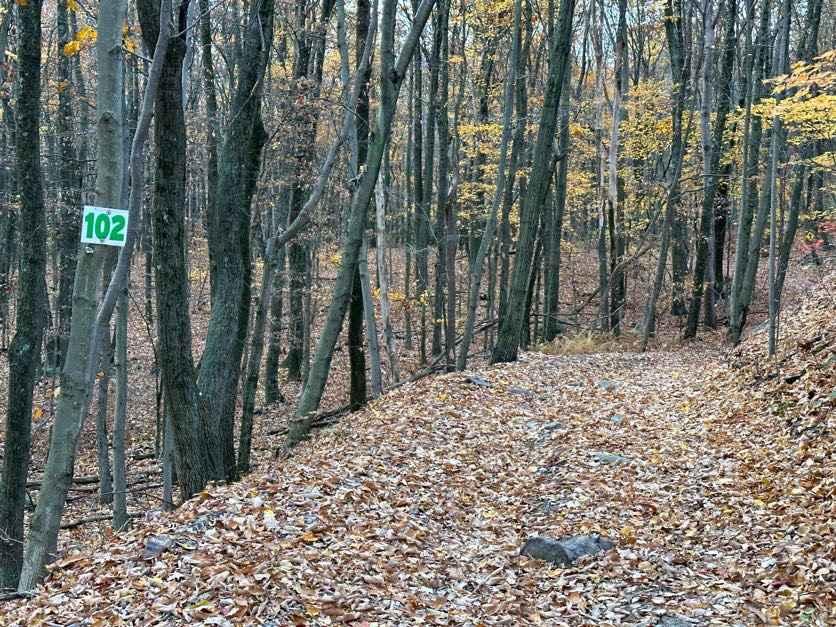
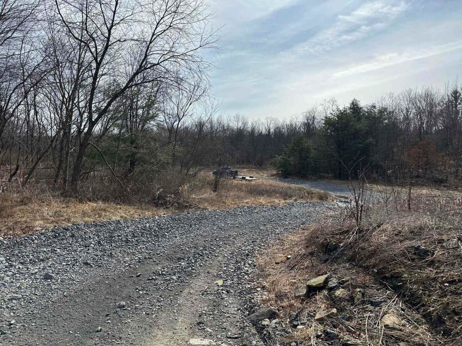
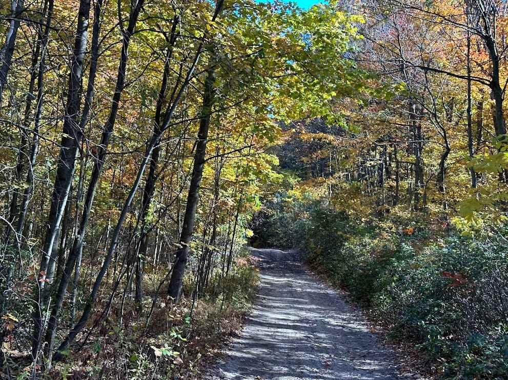
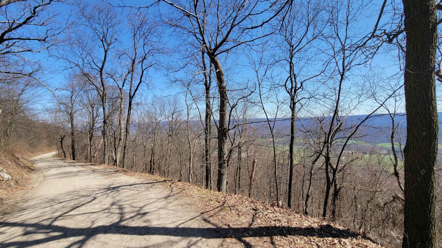
This is a rugged road to the top of a mountain, with a short hike to Band Rock overlook. The road turns from gravel at the bottom to dirt towards the top. There are several small ledgy climbs and potential for washouts and ruts. It's very muddy and wet at the top, but mostly flat at that point. Mud holes are not entirely avoidable, but the deepest sections of them can be mostly avoided.
Photos of McIntyre Road
Difficulty
The majority of the climb is well-maintained gravel. There is some potential for washout immediately following or during heavy rain. The road is much less maintained at the top, with some deep, unavoidable mud holes. 4WD and high or protected engine air intake are strongly recommended!
History
This wild area is approximately 7,500 acres and holds the complete watersheds of four small streams that cascade in numerous waterfalls. McIntyre was the site of a 19th-century mining town and contains the ruins of its buildings and facilities and a mid-19th-century graveyard. The Band Rock Vista provides a spectacular view of the Lycoming Creek Valley.
Status Reports
Popular Trails
102 to Bootlegger C
Germantown Road
The onX Offroad Difference
onX Offroad combines trail photos, descriptions, difficulty ratings, width restrictions, seasonality, and more in a user-friendly interface. Available on all devices, with offline access and full compatibility with CarPlay and Android Auto. Discover what you’re missing today!
