Two Mile
Total Miles
6.3
Technical Rating
Best Time
Fall
Trail Type
High-Clearance 4x4 Trail
Accessible By
Trail Overview
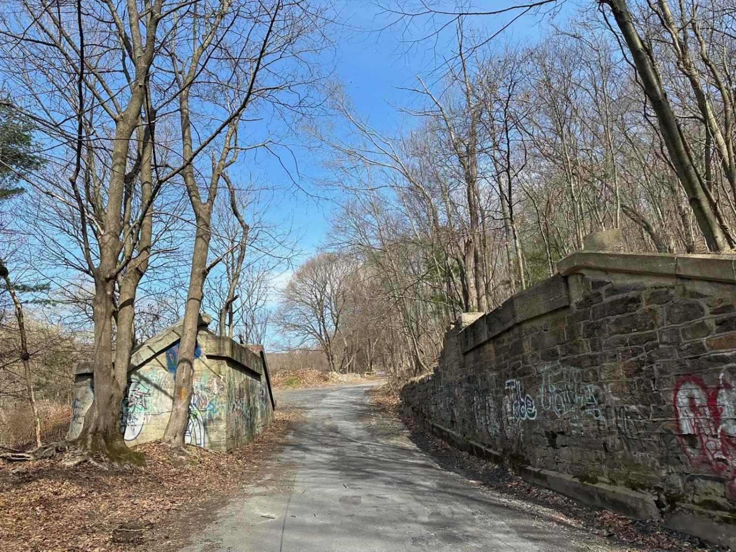
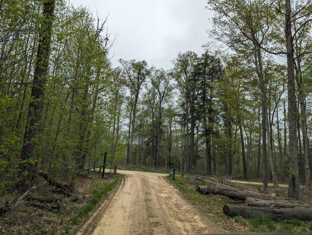
This is a winding gravel path that takes you from State Route 62 to Route 32. This is a great way to get into the Allegheny National Forest. There is one very tight section in the middle that you will come upon as you climb up; this will be the upper and lower trails.
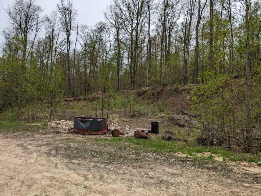
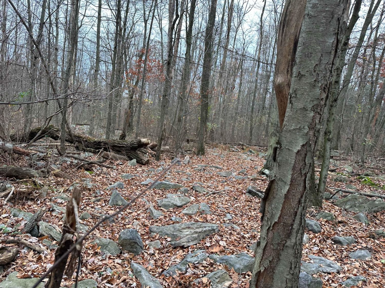
Photos of Two Mile
Difficulty
The difficulty is due to the tight steep connecting section. This is a narrow portion of trail.
Status Reports
Popular Trails

St. Keirns 58

Ashland 102
The onX Offroad Difference
onX Offroad combines trail photos, descriptions, difficulty ratings, width restrictions, seasonality, and more in a user-friendly interface. Available on all devices, with offline access and full compatibility with CarPlay and Android Auto. Discover what you’re missing today!


