Markert Road (662)
Total Miles
1.8
Technical Rating
Best Time
Spring, Summer, Fall, Winter
Trail Type
Full-Width Road
Accessible By
Trail Overview
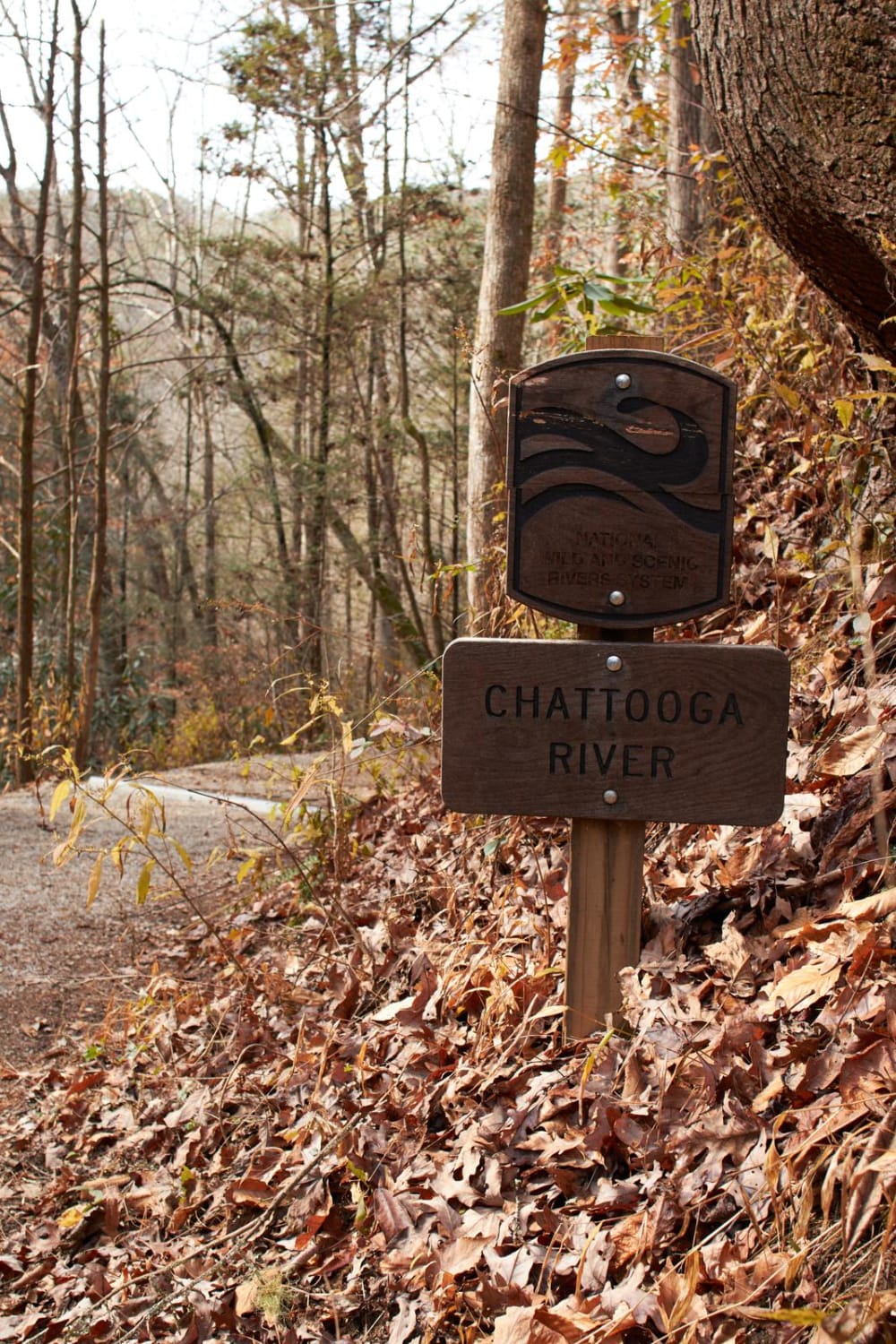
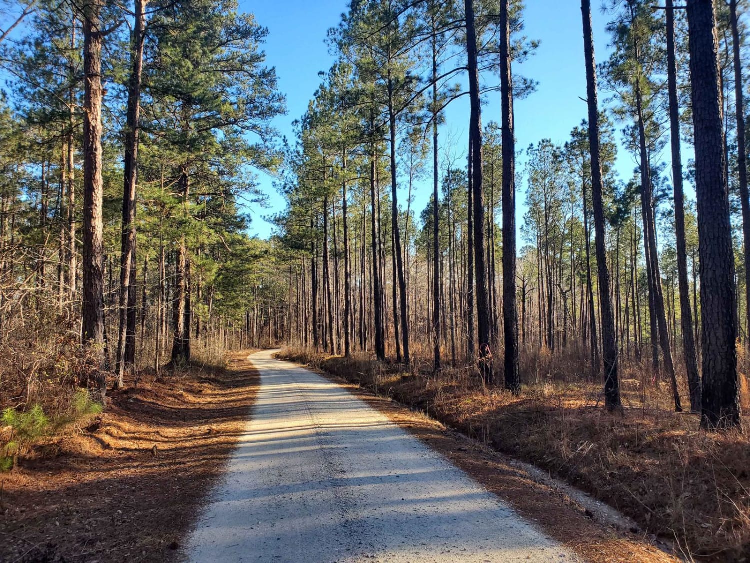
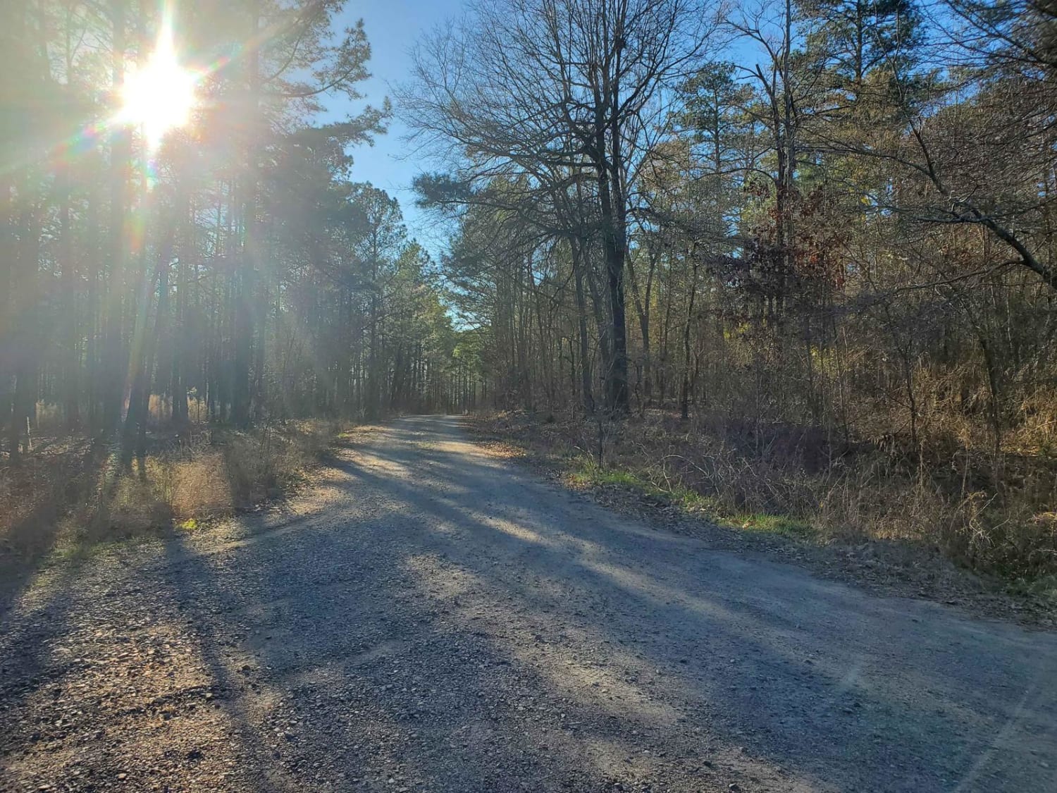
This short route is a well-maintained service road that follows a large-scale mountain bike trail system. The offshoot towards the end (662D) leads to a popular fishing spot on the Savannah River. Any vehicle should be able to explore all portions of this route without issue and is a prime location for fishing and hiking.
Photos of Markert Road (662)
Difficulty
Well-maintained road with no observed obstacles. Any motorized vehicle should be able to travel along this road under normal conditions.
Popular Trails

Woodall Shoals - Road 757

Turkey Road - Shooting Range Access

Red Shadow Road

Little North Carolina Road
The onX Offroad Difference
onX Offroad combines trail photos, descriptions, difficulty ratings, width restrictions, seasonality, and more in a user-friendly interface. Available on all devices, with offline access and full compatibility with CarPlay and Android Auto. Discover what you’re missing today!


