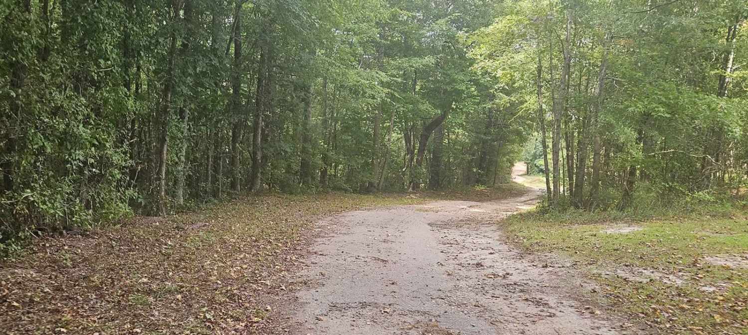
Mayson Crossroads Bypass - FS 585/585C
Total Miles
4.9
Elevation
166.13 ft
Duration
0.5 Hours
Technical Rating
Best Time
Spring, Summer, Fall, Winter
Trail Overview
The Mayson Crossroads Bypass is a commonly traveled road through Sumter National Forest between U.S. Highway 378 and Mount Vernon Road. U.S. Forestry service roads 585 and 585C are largely well-maintained where minimal obstacles should be expected. It is common for wildlife to be encountered while traveling so caution should be used.
Photos of Mayson Crossroads Bypass - FS 585/585C
Difficulty
The route is generally well-maintained and can be traveled by most vehicles with minimal issues. Under wet conditions, mud should be expected, which has the potential to alter the difficulty slightly.
Status Reports
Popular Trails
SCAR Southeast Alternate
Port Road - FSR223
South Carolina Adventure Route Segment 2

SCAR Northeast Alternate
The onX Offroad Difference
onX Offroad combines trail photos, descriptions, difficulty ratings, width restrictions, seasonality, and more in a user-friendly interface. Available on all devices, with offline access and full compatibility with CarPlay and Android Auto. Discover what you’re missing today!

