Bogus 6322
Total Miles
3.0
Elevation
1,609.10 ft
Duration
0.5 Hours
Technical Rating
Best Time
Summer, Fall, Spring
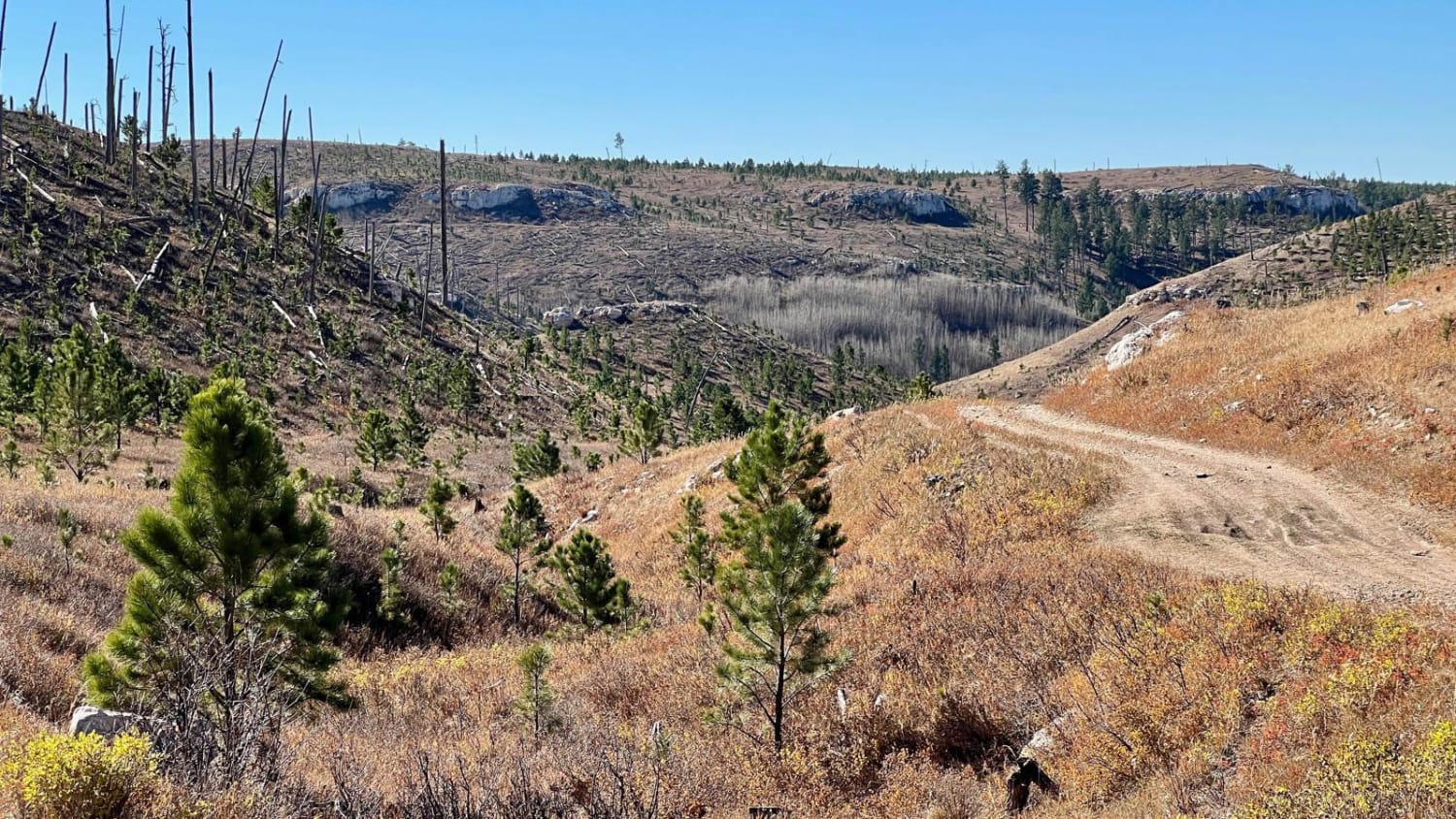
Trail Overview
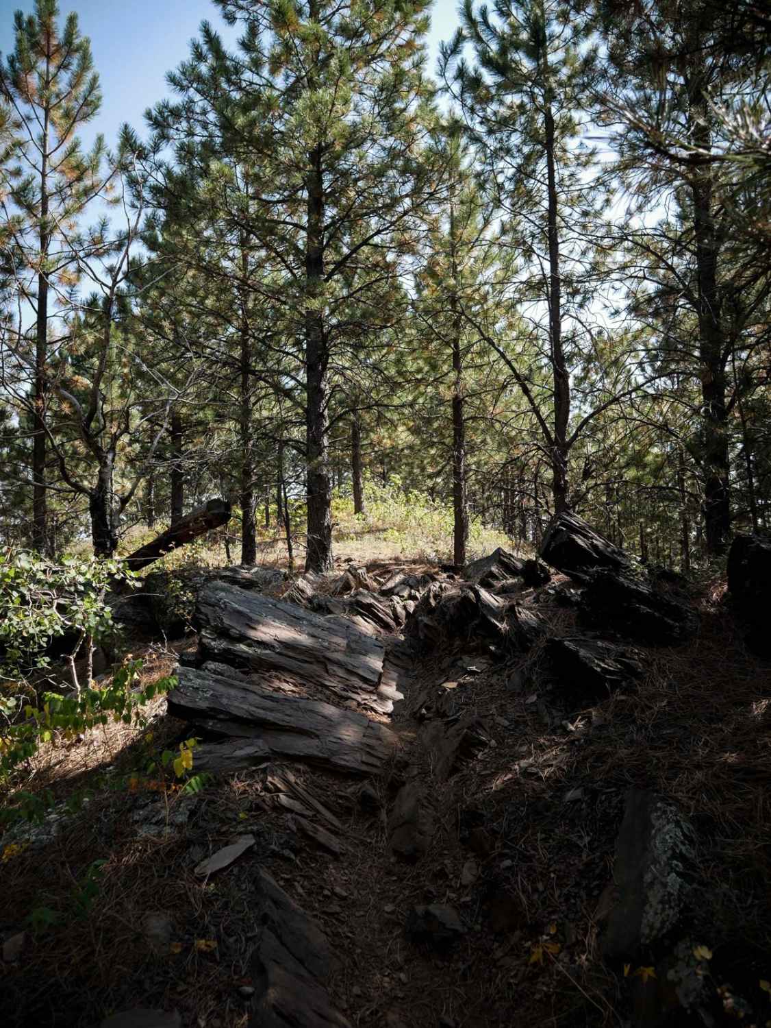
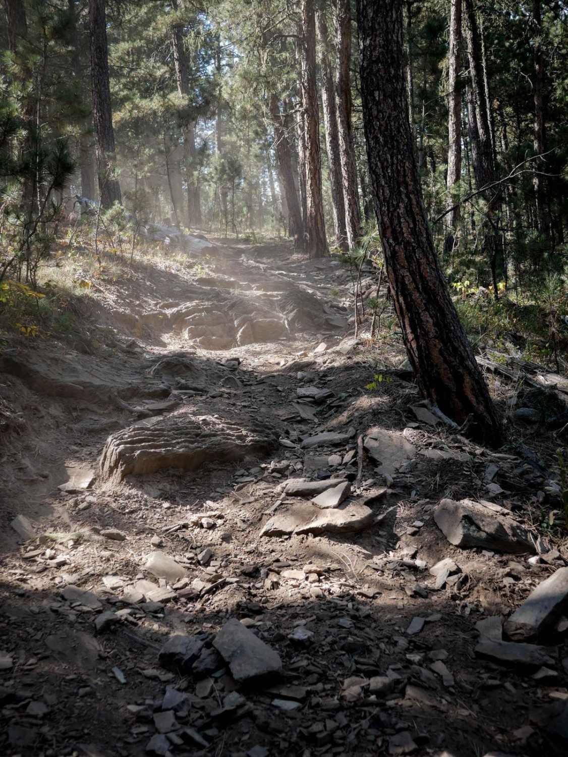
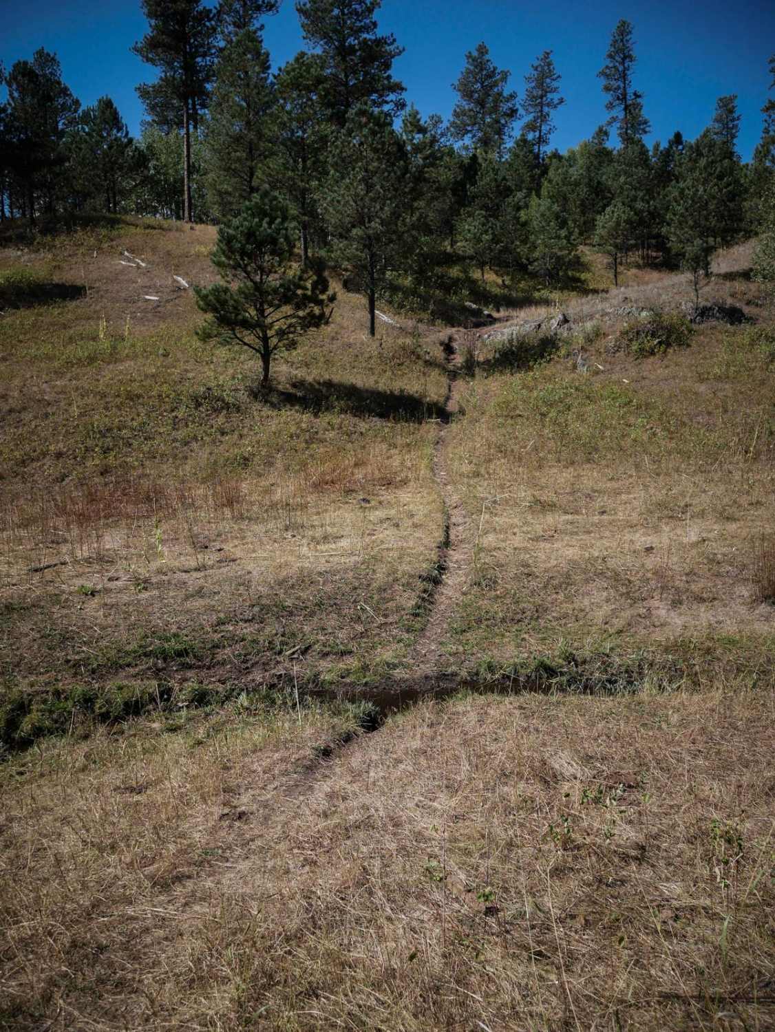
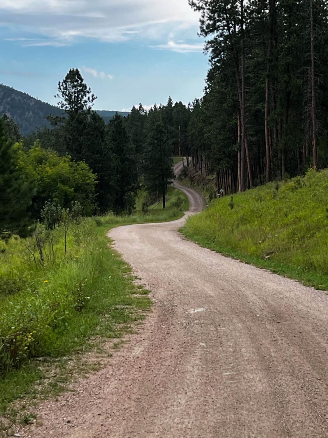
6322 winds through the Black Hills for 3 miles in the Bogus Trail System. Going west to east, it mostly goes downhill for the first half of the trail, and then goes back up for the second half. There are steep rutted climbs with loose rocks and low pine tree branches. It goes over rolling small hills and through flat forest floors. There are so many pine needles covering the trail in spots it's actually hard to see sometimes. The trail stays pretty easy, with small features like small loose rocks, and sharp turns, steep spots, and ledges less than a foot tall from embedded rock layers crossing the trail. It crosses big long grassy meadows and goes through a really pretty forest of pine trees that are widely separated with lots of open grassy areas.
Photos of Bogus 6322
Difficulty
While the majority of the trail is easy, there are a couple of climbs that are trickier due to steepness and rocks. There is a steep hill climb with small ledges and roots that will require some momentum.
Status Reports
Popular Trails
Below Pactola Dam
Windmill Draw to Hell Canyon to Alkali Ridge
Buffalo Gap Nat Grassland North
The onX Offroad Difference
onX Offroad combines trail photos, descriptions, difficulty ratings, width restrictions, seasonality, and more in a user-friendly interface. Available on all devices, with offline access and full compatibility with CarPlay and Android Auto. Discover what you’re missing today!