Bogus 6328
Total Miles
3.4
Technical Rating
Best Time
Summer, Fall, Spring
Trail Type
Single Track
Accessible By
Trail Overview
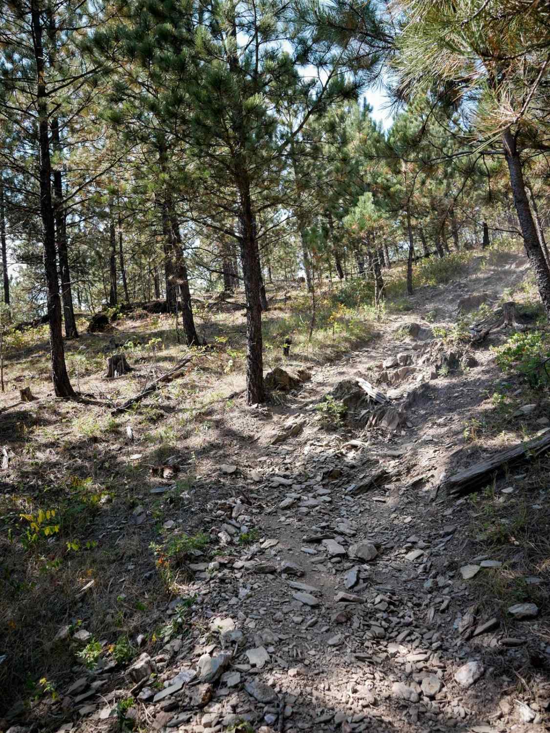
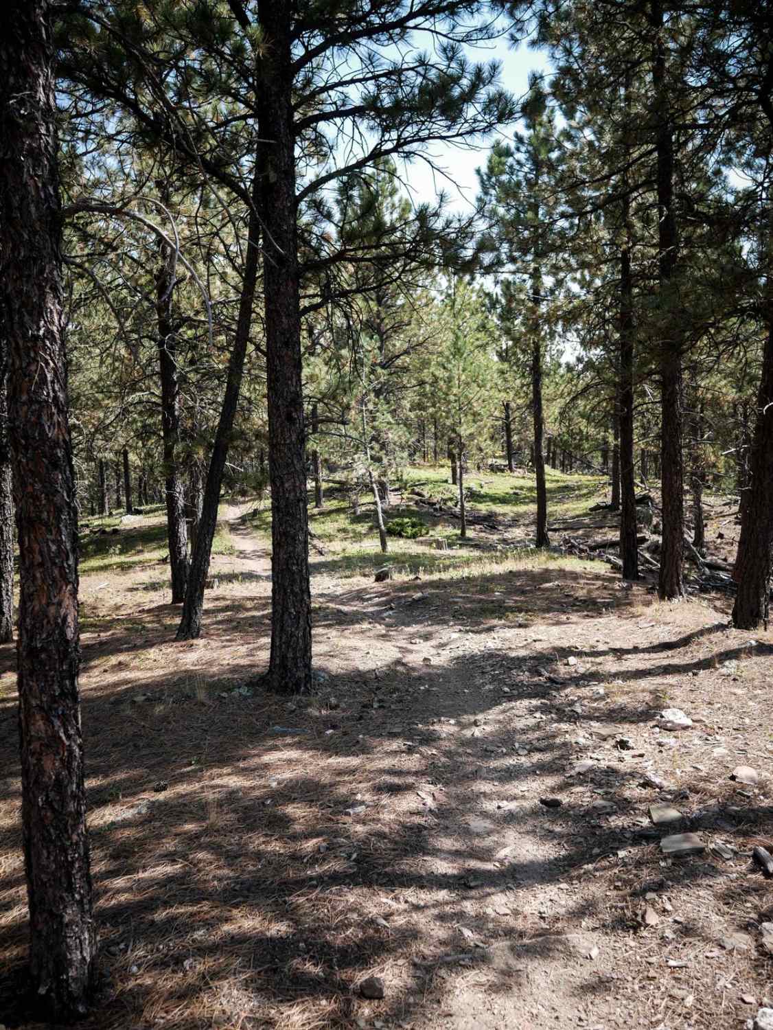
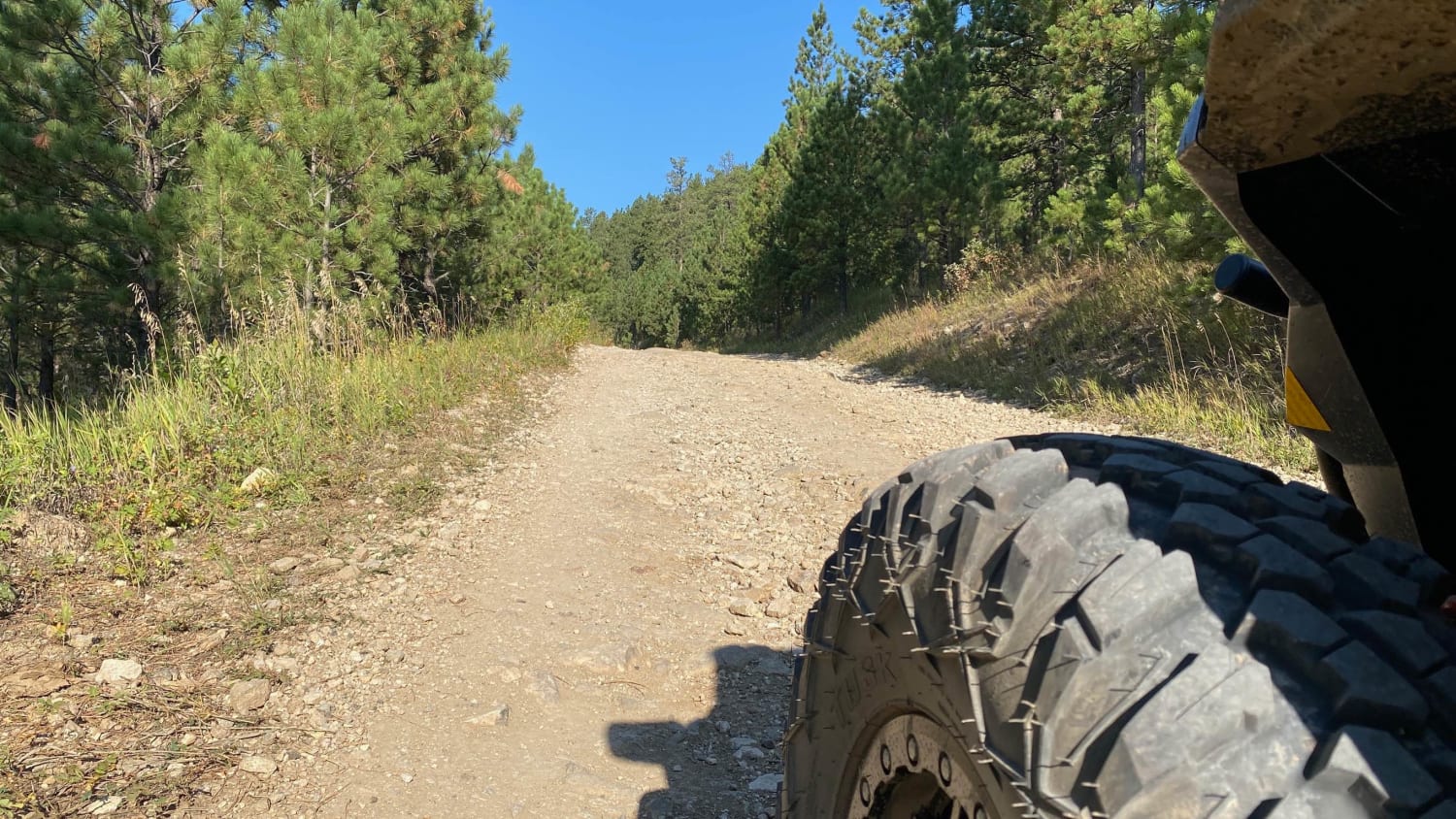
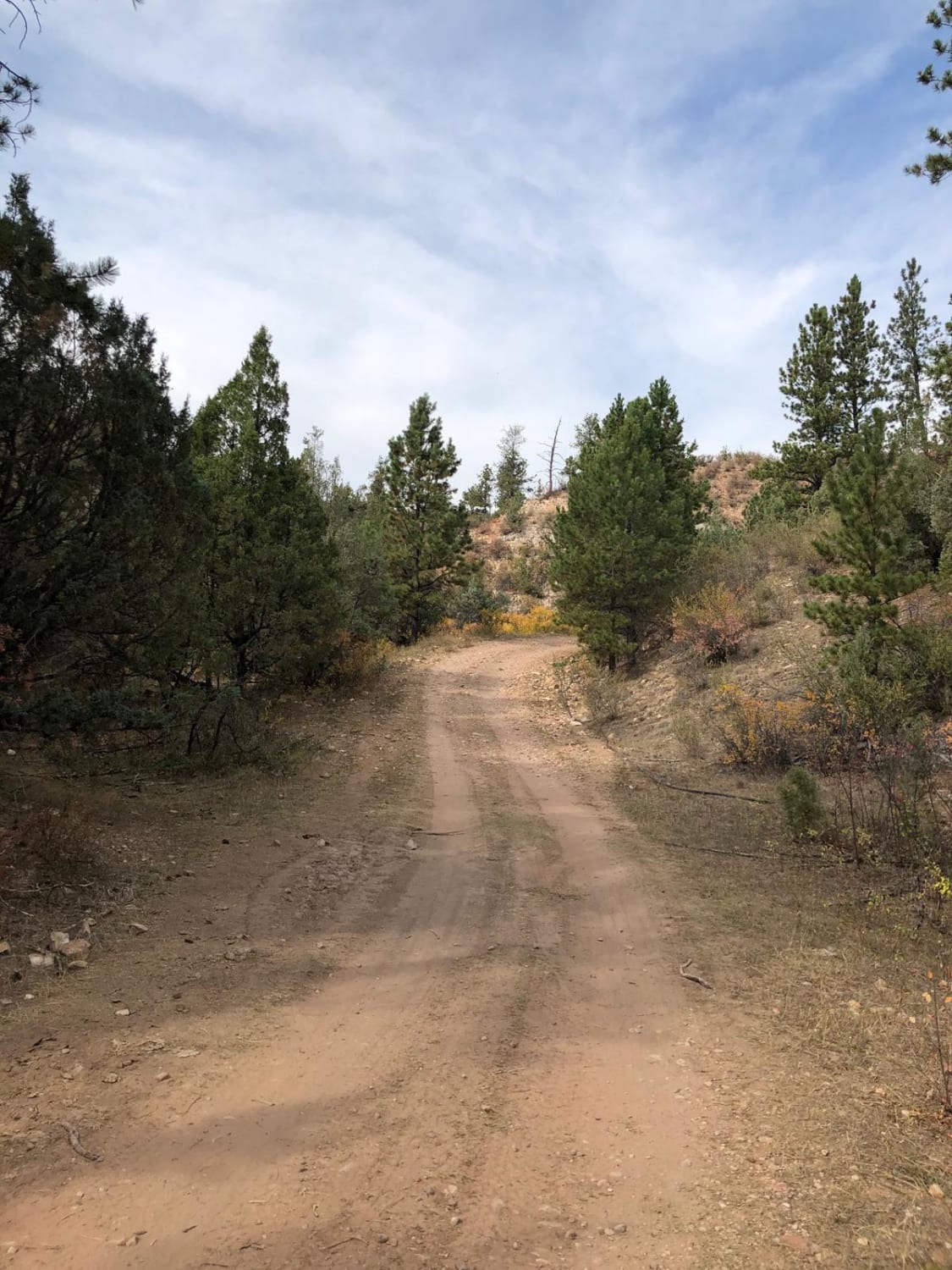
This is a 1.1-mile connector single track that departs from 6305, crosses a powerline trail, and then connects back up to 6305, so it could be used to make a loop or take an alternate route instead of riding the same trail out and back. It's relatively easy the whole way, with easy features such as small roots, sharp turns, loose rocks, and steep loose climbs. Sometimes there are multiple lines to choose from up the hills. It goes through a mix of grassy meadows and through sparsely populated pine tree forests. It's not too narrow, but not super wide. Most of it is curvy and flowy through a flat forest floor.
Photos of Bogus 6328
Difficulty
The majority of this trail is easy with small root and rock features. There are embedded rock layers creating small ledges less than a foot tall that should still be navigable by most riders with a bit of experience.
Status Reports
Popular Trails
Sheep Mountain Table Road
Boulder Scenic Cut Through
Crystal Cave Trail
Roby Canyon(FS 264)
The onX Offroad Difference
onX Offroad combines trail photos, descriptions, difficulty ratings, width restrictions, seasonality, and more in a user-friendly interface. Available on all devices, with offline access and full compatibility with CarPlay and Android Auto. Discover what you’re missing today!
