Castle Rock & Nipple Butte Circular
Total Miles
4.4
Technical Rating
Best Time
Fall
Trail Type
Full-Width Road
Accessible By
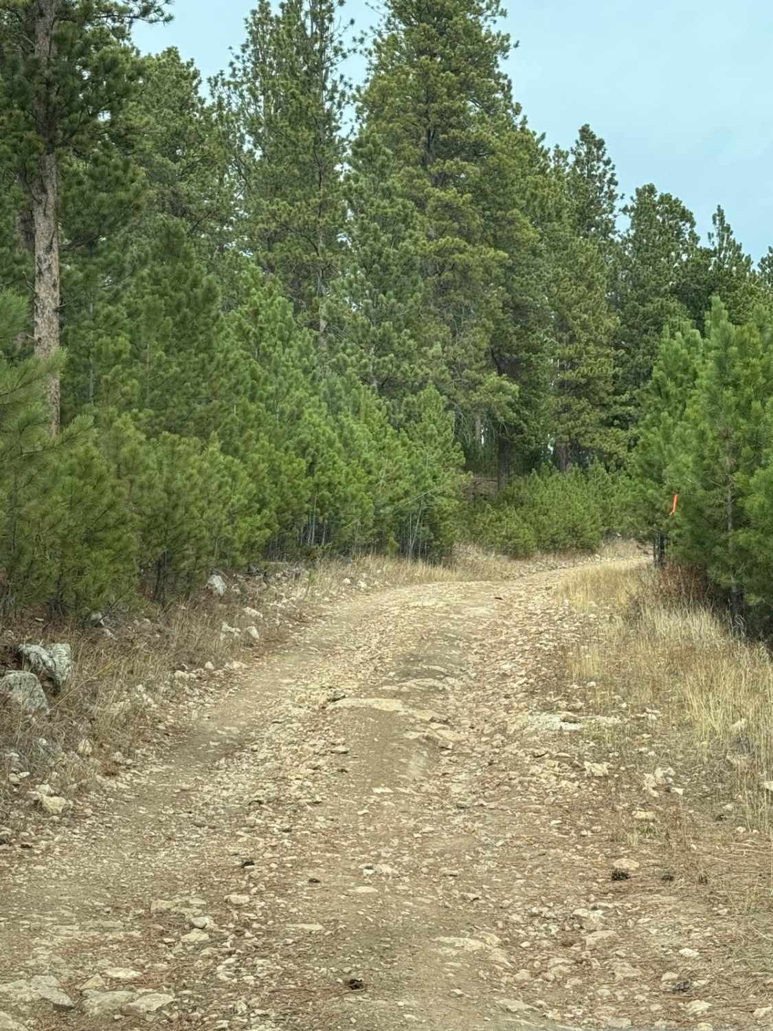
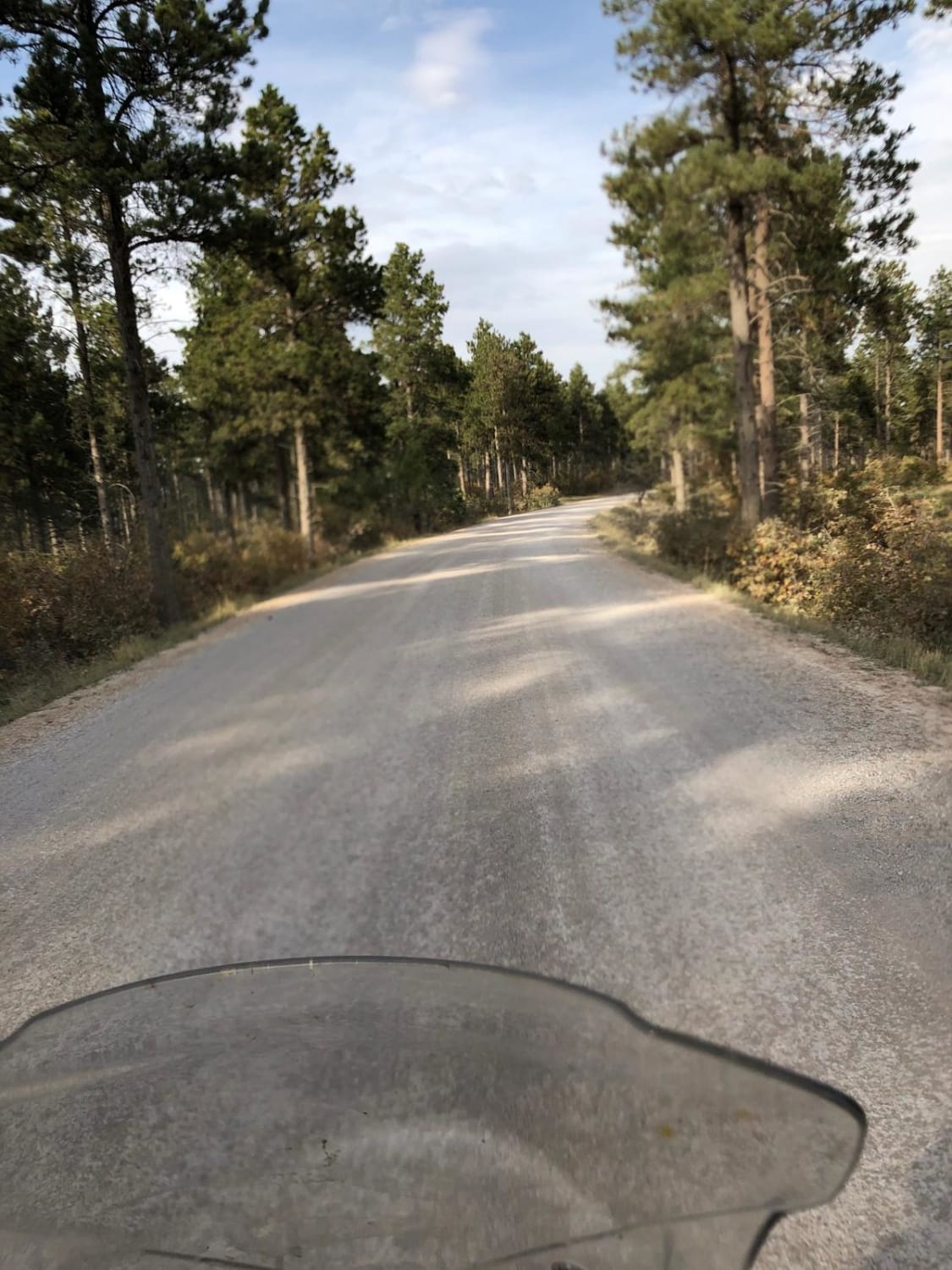
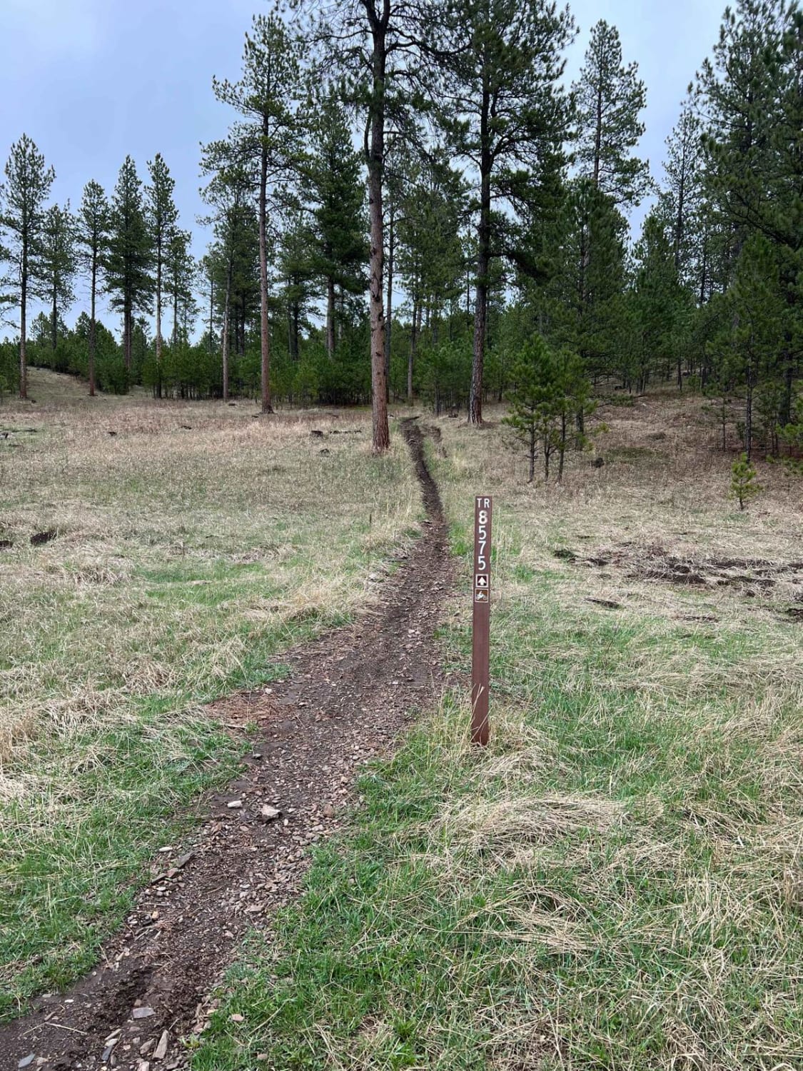
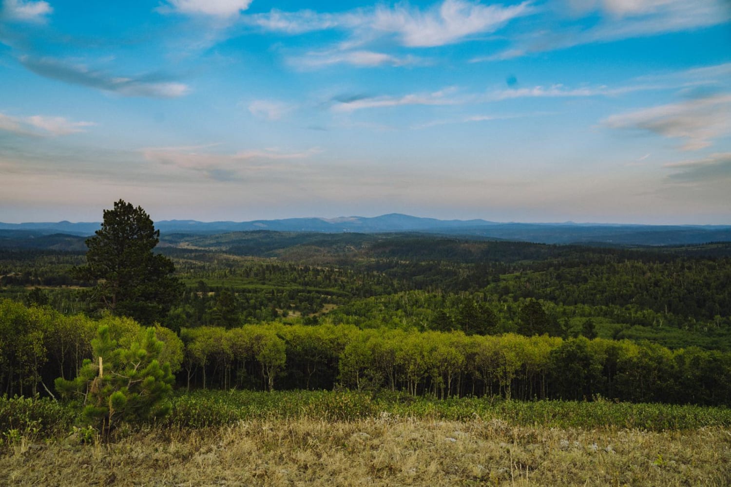
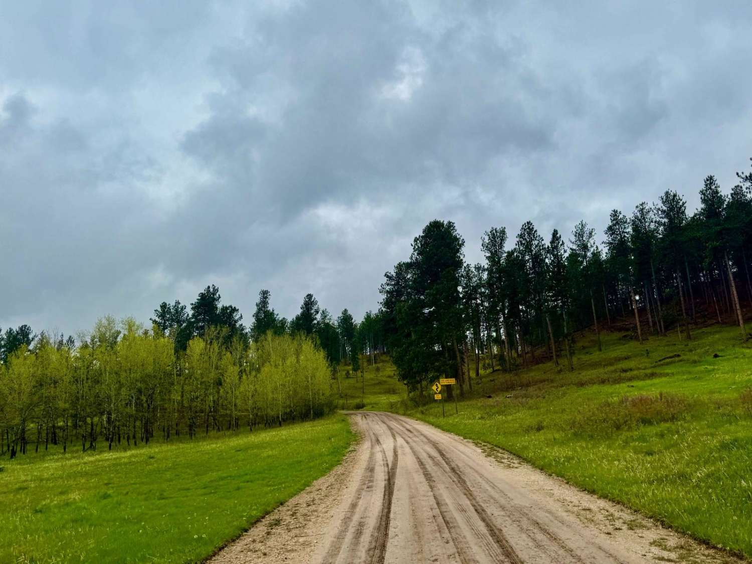
Trail Overview
This is a single-track route that orbits the Castle Rock & Nipple Butte formation. This is FS189.1B & 189.1C. There are some fire-damaged trees that are cut but still close to the trail which may make this route difficult for full-size trucks or SUV's. The route is fairly flat and easy when it's dry.
Photos of Castle Rock & Nipple Butte Circular

Difficulty
The west side (FSR 189.1B) is just two-track and very easy with no issues. On the east side (FRS 189.1C) can be tight for full-size vehicles due because of the downed trees from previous fires. Trees have been cut but left close to the trail. Also, there are some trees that require some zig-zags to get through without going off-trail.
Status Reports
Castle Rock & Nipple Butte Circular can be accessed by the following ride types:
- High-Clearance 4x4
- SUV
- SxS (60")
- ATV (50")
- Dirt Bike
Castle Rock & Nipple Butte Circular Map
Popular Trails
Tinton Road
Crystal Mount Single Track
Boundary Gulch
The onX Offroad Difference
onX Offroad combines trail photos, descriptions, difficulty ratings, width restrictions, seasonality, and more in a user-friendly interface. Available on all devices, with offline access and full compatibility with CarPlay and Android Auto. Discover what you’re missing today!