Gold Mountain Mine
Total Miles
1.7
Technical Rating
Best Time
Spring, Summer, Fall
Trail Type
Full-Width Road
Accessible By
Trail Overview
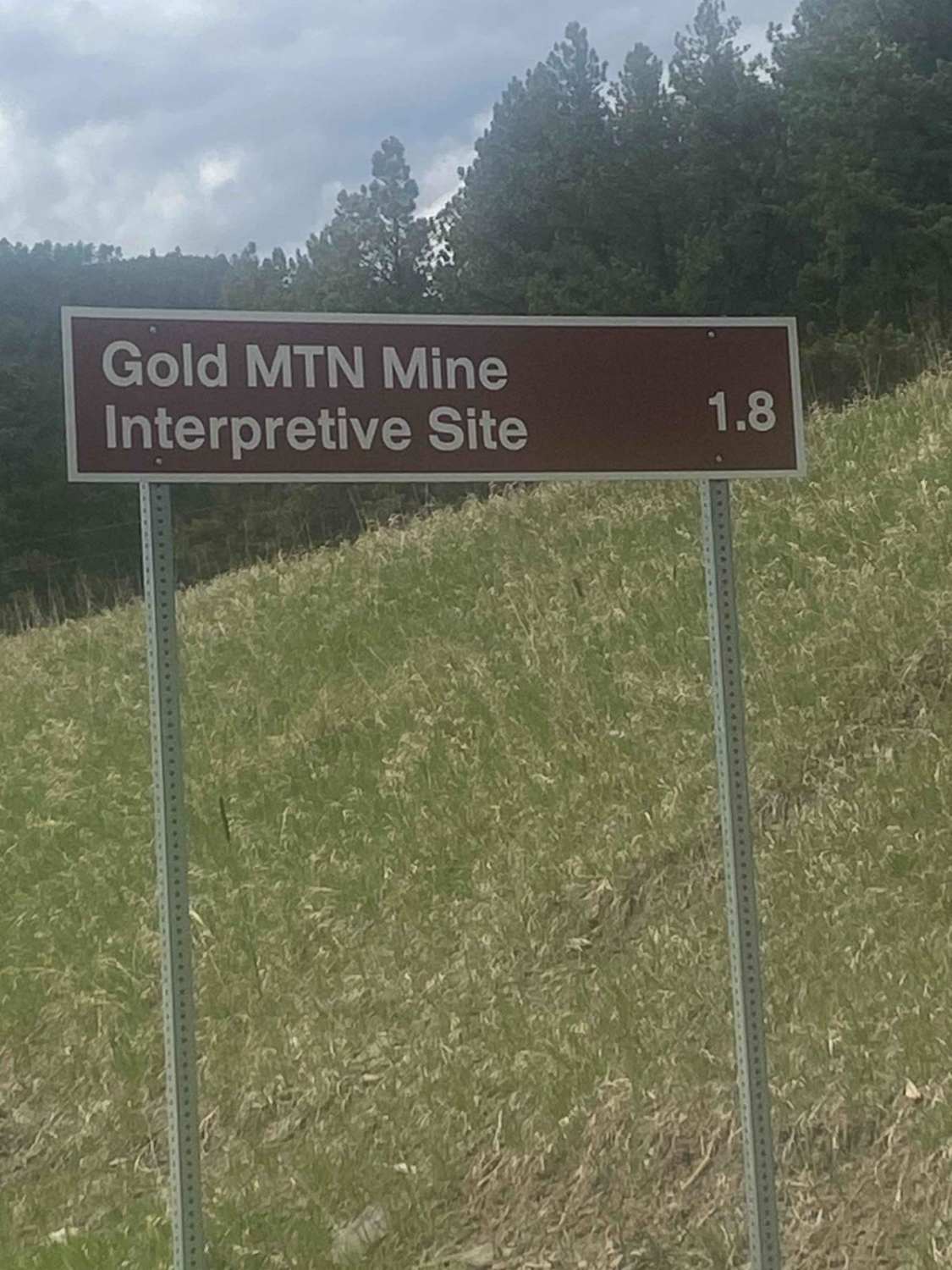
You will access the mine site from Forest Service Road 389, also known as Burnt Fork Road, off of Deerfield Road. Continue up this gravel road for 1.8 miles, where you will park and hike up the road a short distance to the left. The drive is easy and short, but plan on spending some time walking around the site. The hike around the site has many ups and downs, so it may be difficult for some people. As you walk around this interpretive trail, there are many signs explaining the history of the gold mine and describing what you are seeing. Take note of some of the Old Man's Beard hanging off of the ponderosa pines. It looks similar to Spanish moss but is a type of lichen.
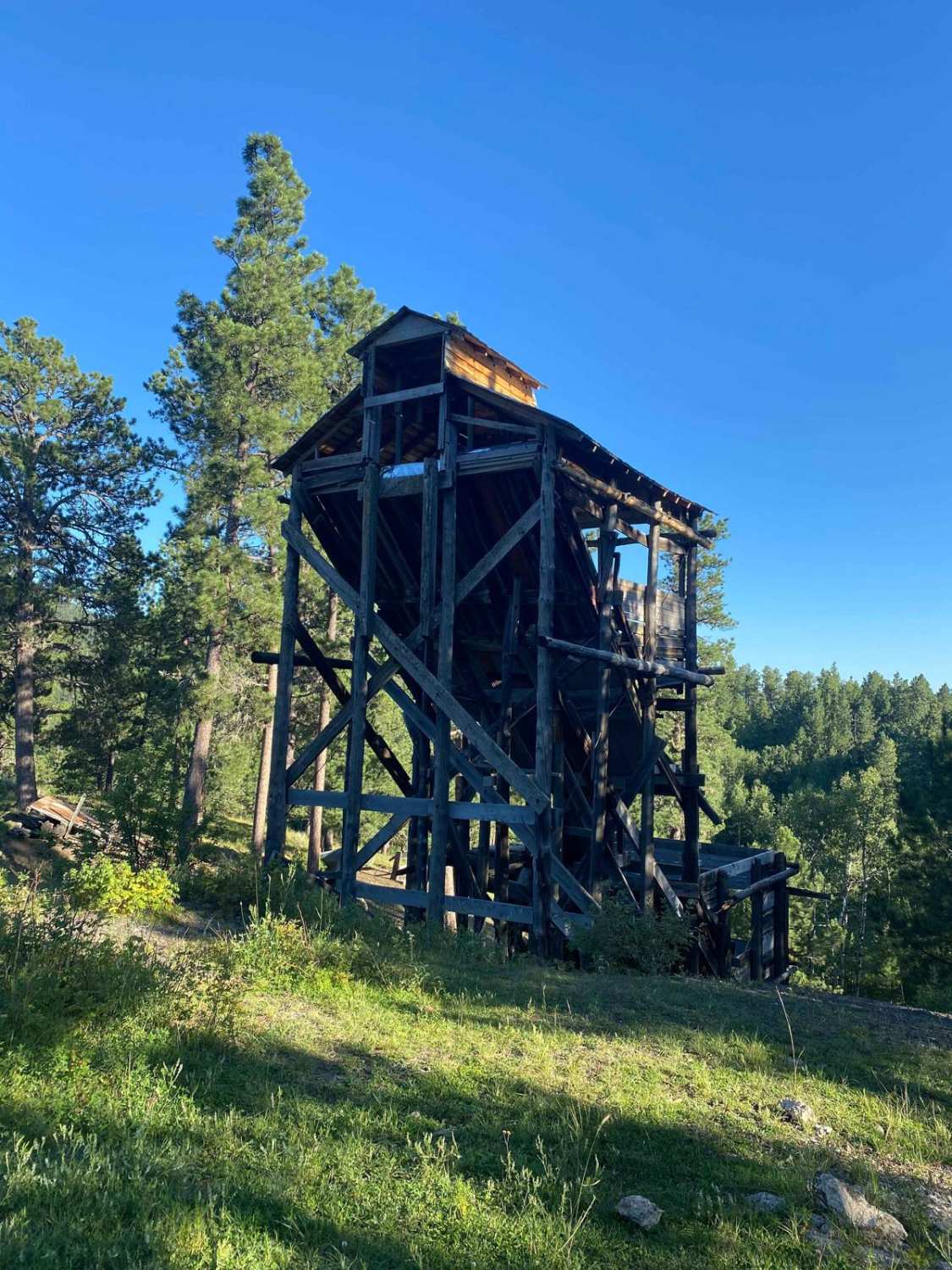
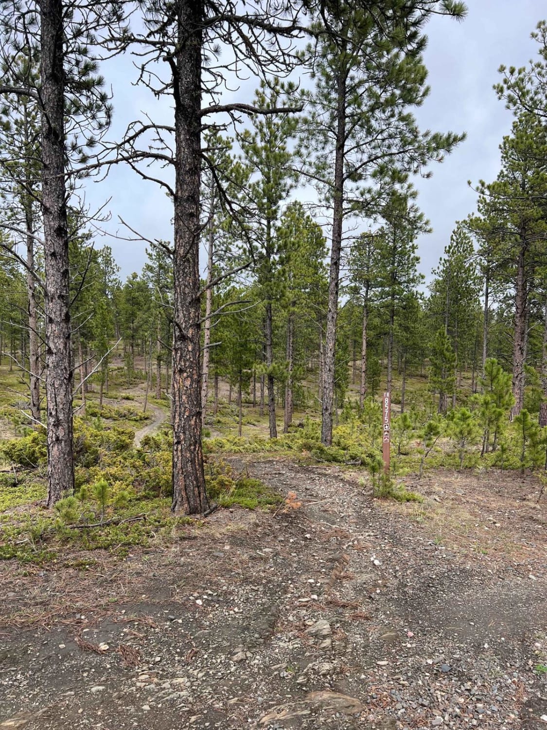
Photos of Gold Mountain Mine
Difficulty
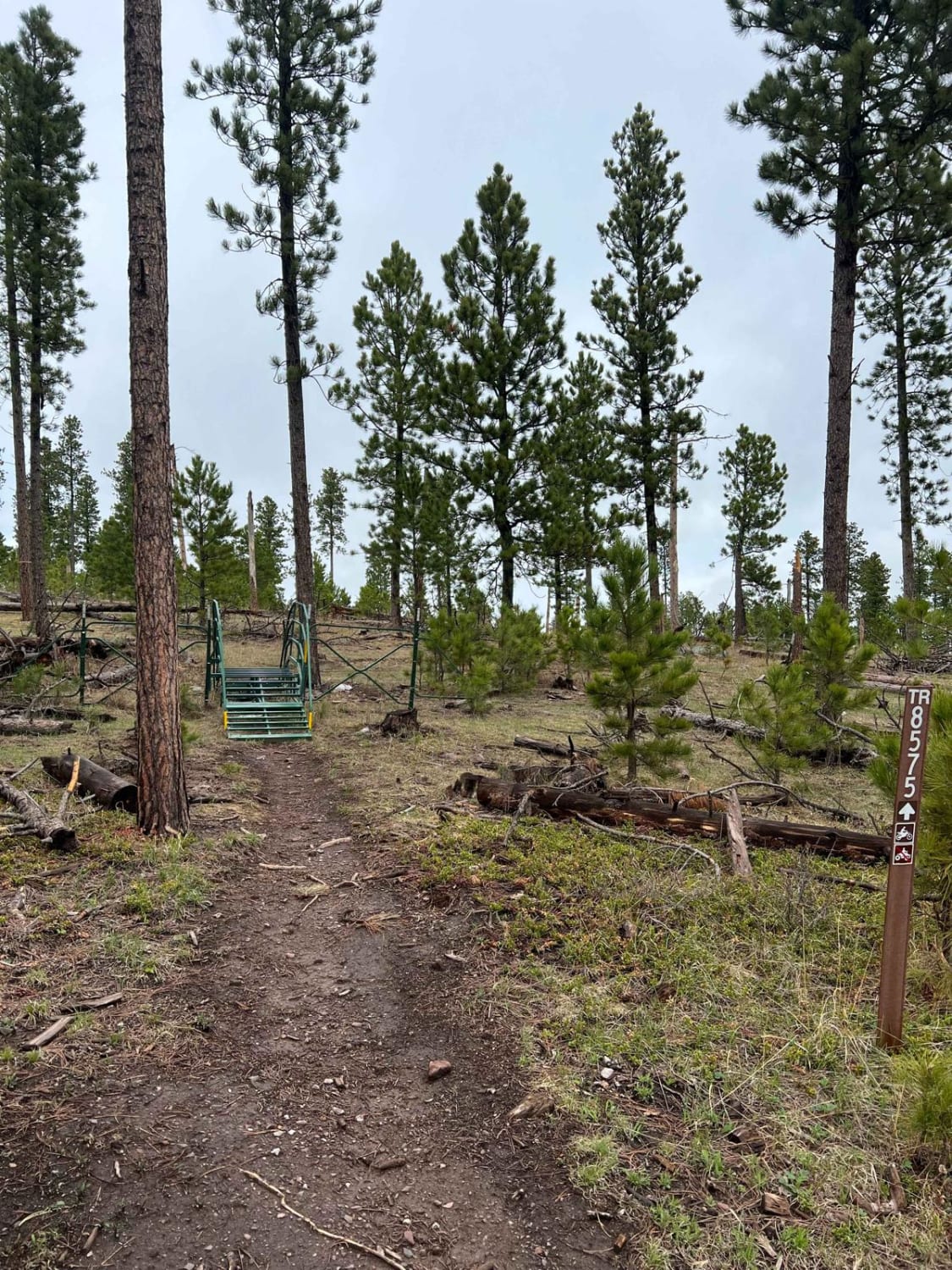
You will encounter a few small water holes, depending on the recent rainfall. There are also some small protruding rocks.
History
Gold Mountain Mine is the only gold mine site left in the Black Hills Forest with a standing mill frame. It was constructed in the 1920s, operated until 1940, and shut down in 1941 by a war department order. In the summer of 2009, Forest Service employees and Black Hills Historic Preservation and Trust (BHHPT) volunteers began preservation of the site and finished it in September 2014.
Gold Mountain Mine can be accessed by the following ride types:
- High-Clearance 4x4
- SUV
- SxS (60")
- ATV (50")
- Dirt Bike
Gold Mountain Mine Map
Popular Trails
Conata Basin Road
Boulder Scenic Cut Through

Boxelder Ridge Cut Through Final Leg
The onX Offroad Difference
onX Offroad combines trail photos, descriptions, difficulty ratings, width restrictions, seasonality, and more in a user-friendly interface. Available on all devices, with offline access and full compatibility with CarPlay and Android Auto. Discover what you’re missing today!