Merrit Peak Central to SE Leg
Total Miles
0.6
Elevation
1,594.48 ft
Duration
0.25 Hours
Technical Rating
Best Time
Spring, Summer, Fall
Trail Overview
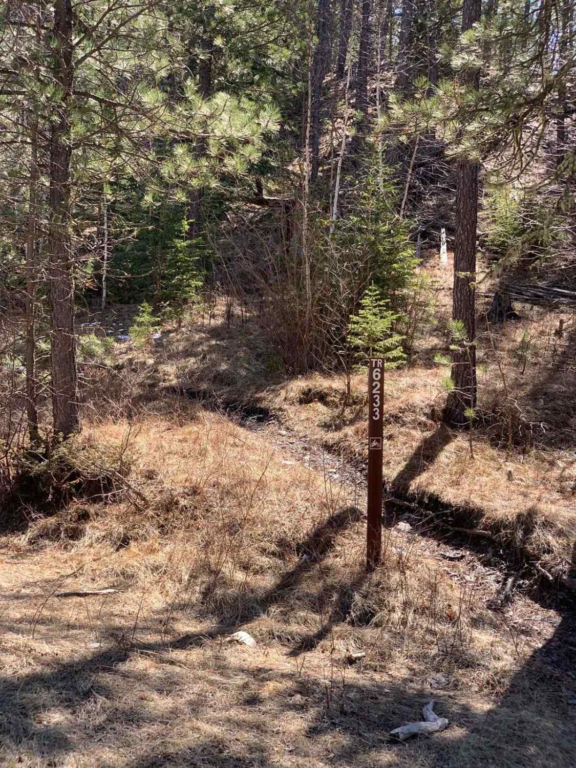
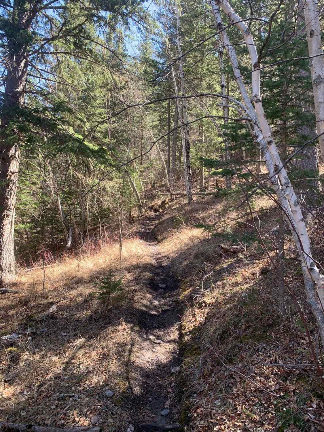
Want a complete loop of the Merrit trail system? This small single-track links Merrit Peak Central to Merrit Southeast Leg. This short but thrilling trail is packed with easy slower-paced rocky sections, fast and flowy ups and downs, and a few tight switchbacks through the forest. When arriving from the north, the entrance is pretty wooded, so arrive slowly to identify the trailhead sign (TR6233) and enjoy your ride.
Photos of Merrit Peak Central to SE Leg
Difficulty
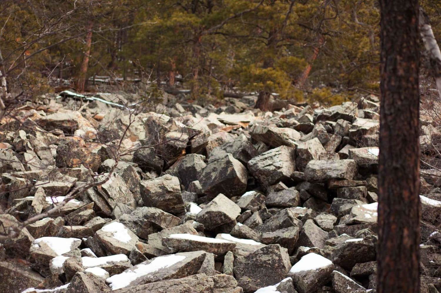
With a primarily dirt surface, this trail has loose small and large rocks throughout. Some sections can be off-camber from a level riding surface, so expect it to become loose/slippery when more trafficked or in wet conditions.
Status Reports
Popular Trails
China Gulch - FSR #249

Long Run - 641
Beaver Creek Road(FS 111)
Fruity Pebbles Trail 1
The onX Offroad Difference
onX Offroad combines trail photos, descriptions, difficulty ratings, width restrictions, seasonality, and more in a user-friendly interface. Available on all devices, with offline access and full compatibility with CarPlay and Android Auto. Discover what you’re missing today!
